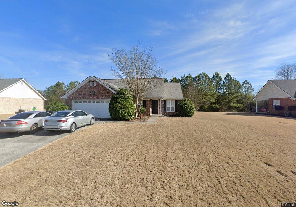
102 Brookstone Dr SW Calhoun, GA 30701
Estimated Value: $271,000 - $296,000
3
Beds
2
Baths
1,450
Sq Ft
$194/Sq Ft
Est. Value
About This Home
This home is located at 102 Brookstone Dr SW, Calhoun, GA 30701 and is currently estimated at $281,271, approximately $193 per square foot. 102 Brookstone Dr SW is a home located in Gordon County with nearby schools including Calhoun Primary School, Calhoun Elementary School, and Calhoun Middle School.
Ownership History
Date
Name
Owned For
Owner Type
Purchase Details
Closed on
Aug 25, 2008
Sold by
Not Provided
Bought by
Mcentyre Kelley
Current Estimated Value
Purchase Details
Closed on
Aug 7, 2007
Sold by
Hartsfield Walter Michael
Bought by
Mcentyre Kelley
Purchase Details
Closed on
Apr 13, 2006
Sold by
Hartsfield Walter Michael
Bought by
Hartsfield Walter Michael
Purchase Details
Closed on
Aug 8, 2003
Sold by
Brown W Shawn
Bought by
Hartsfield Walter Michael
Purchase Details
Closed on
May 29, 2003
Sold by
Thomas Tegina K
Bought by
Brown W Shawn
Purchase Details
Closed on
Mar 14, 2002
Sold by
Calhoun Realty & Development Inc
Bought by
Thomas Tegina K
Create a Home Valuation Report for This Property
The Home Valuation Report is an in-depth analysis detailing your home's value as well as a comparison with similar homes in the area
Home Values in the Area
Average Home Value in this Area
Purchase History
| Date | Buyer | Sale Price | Title Company |
|---|---|---|---|
| Mcentyre Kelley | -- | -- | |
| Mcentyre Kelley | $122,750 | -- | |
| Hartsfield Walter Michael | -- | -- | |
| Hartsfield Walter Michael | $114,000 | -- | |
| Brown W Shawn | $107,500 | -- | |
| Thomas Tegina K | $104,500 | -- |
Source: Public Records
Tax History Compared to Growth
Tax History
| Year | Tax Paid | Tax Assessment Tax Assessment Total Assessment is a certain percentage of the fair market value that is determined by local assessors to be the total taxable value of land and additions on the property. | Land | Improvement |
|---|---|---|---|---|
| 2024 | $2,251 | $80,080 | $5,200 | $74,880 |
| 2023 | $2,106 | $74,920 | $5,200 | $69,720 |
| 2022 | $665 | $69,880 | $5,200 | $64,680 |
| 2021 | $1,593 | $53,520 | $7,000 | $46,520 |
| 2020 | $1,622 | $54,040 | $7,000 | $47,040 |
| 2019 | $1,619 | $54,040 | $7,000 | $47,040 |
| 2018 | $483 | $50,160 | $7,000 | $43,160 |
| 2017 | $469 | $47,680 | $7,000 | $40,680 |
| 2016 | $470 | $47,680 | $7,000 | $40,680 |
| 2015 | $468 | $46,880 | $7,000 | $39,880 |
| 2014 | $443 | $44,978 | $7,000 | $37,978 |
Source: Public Records
Map
Nearby Homes
- 137 Regency Row SW
- 130 Brookstone Dr SW
- 413 Beamer Rd SW
- 210 Madison Dr SW
- 121 Foxhall Dr SW
- 176 Village Way SW
- The Braselton II Plan at Fair Oak
- The Reynolds Plan at Fair Oak
- The Buford II Plan at Fair Oak
- The Lawson Plan at Fair Oak
- The Caldwell Plan at Fair Oak
- The Benson II Plan at Fair Oak
- The Greenbrier II Plan at Fair Oak
- 215 Wilson St
- 227 Mcconnell Rd
- 100 Neal St
- 0 Highway 53 Spur SW Unit 7529096
- 404 Mcginnis Cir
- 85 Professional Place Unit 14
- 104 Brookstone Dr SW
- 100 Brookstone Dr SW
- 106 Brookstone Dr SW
- 103 Brookstone Dr SW
- 105 Brookstone Dr SW
- 101 Brookstone Dr SW
- 107 Brookstone Dr SW
- 108 Brookstone Dr SW
- 109 Brookstone Dr SW
- 110 Brookstone Dr SW
- 111 Brookstone Dr SW
- 112 Brookstone Dr SW
- 160 Regency Row SW
- 113 Brookstone Dr SW
- 158 Regency Row SW
- 156 Regency Row SW
- 114 Brookstone Dr SW
- 162 Regency Row SW
- 152 Regency Row SW
- 152 Regency Row SW Unit 27