102 Bryant Plantation Rd Macon, GA 31217
Estimated Value: $149,000 - $272,484
2
Beds
1
Bath
748
Sq Ft
$285/Sq Ft
Est. Value
About This Home
This home is located at 102 Bryant Plantation Rd, Macon, GA 31217 and is currently estimated at $213,495, approximately $285 per square foot. 102 Bryant Plantation Rd is a home located in Twiggs County with nearby schools including Jeffersonville Elementary School, Twiggs Middle School, and Twiggs County High School.
Ownership History
Date
Name
Owned For
Owner Type
Purchase Details
Closed on
Dec 2, 2013
Sold by
Marcus Patsy
Bought by
Patterson Charlie
Current Estimated Value
Purchase Details
Closed on
Aug 31, 1974
Sold by
Lucious Patterson
Bought by
Marcus Patsy Patterson
Purchase Details
Closed on
Apr 26, 1965
Sold by
Ray Bryant
Bought by
Lucious Patterson
Purchase Details
Closed on
Jun 7, 1961
Sold by
Mrs Jewel Niblett and Mrs
Bought by
Bryant Ray
Create a Home Valuation Report for This Property
The Home Valuation Report is an in-depth analysis detailing your home's value as well as a comparison with similar homes in the area
Home Values in the Area
Average Home Value in this Area
Purchase History
| Date | Buyer | Sale Price | Title Company |
|---|---|---|---|
| Patterson Charlie | -- | -- | |
| Marcus Patsy Patterson | -- | -- | |
| Lucious Patterson | -- | -- | |
| Bryant Ray | -- | -- |
Source: Public Records
Tax History Compared to Growth
Tax History
| Year | Tax Paid | Tax Assessment Tax Assessment Total Assessment is a certain percentage of the fair market value that is determined by local assessors to be the total taxable value of land and additions on the property. | Land | Improvement |
|---|---|---|---|---|
| 2024 | $1,926 | $53,776 | $44,538 | $9,238 |
| 2023 | $1,929 | $53,776 | $44,538 | $9,238 |
| 2022 | $1,946 | $53,776 | $44,538 | $9,238 |
| 2021 | $1,947 | $53,776 | $44,538 | $9,238 |
| 2020 | $1,947 | $53,776 | $44,538 | $9,238 |
| 2019 | $1,726 | $47,681 | $38,443 | $9,238 |
| 2018 | $1,583 | $47,681 | $38,443 | $9,238 |
| 2017 | $1,533 | $46,162 | $38,443 | $7,719 |
| 2016 | $0 | $44,960 | $37,241 | $7,719 |
| 2015 | -- | $46,162 | $38,443 | $7,719 |
| 2014 | -- | $46,162 | $38,443 | $7,719 |
| 2013 | -- | $47,142 | $38,443 | $8,699 |
Source: Public Records
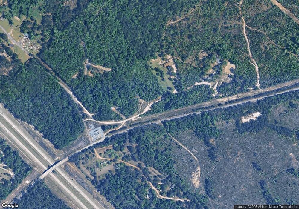
Map
Nearby Homes
- 456 Horseshoe Cir
- 1108 Horseshoe Cir
- 83 Troon Dr
- 61 Regina Dr
- 385 Redbud Dr
- 1100 Sapp Rd
- 5860 Ocmulgee Blvd E
- 000 Parker Rd
- 0 Hwy 80
- 0 Parker Rd Unit 10461595
- 5600 Marion Rd
- 120 Oneal Dr
- 200 Oneal Dr
- 497 T04 River Rd
- 497 T04 River Rd Unit LotWP001
- 133 Randy Dr
- 6330 Riggins Mill Rd
- 6326 Riggins Mill Rd
- 0 Us Highway 80 Unit LOT 1 10495040
- 32 Knollwood Rd
- 102 Bryant Plantation Rd
- 255 Bryant Plantation Rd
- 104 Bryant Plantation Rd
- 195 Bryant Plantation Rd
- 219 Horseshoe Cir
- 323 Horseshoe Cir Unit CIRLCE
- 323 Horseshoe Cir
- 191 Mitchum Rd
- 145 Bryant Plantation Rd
- 234 Horseshoe Cir
- 3393 Sgoda Rd
- 471 Horseshoe Cir
- 198 Horseshoe Cir
- 3399 Sgoda Rd
- 318 Mitchum Rd
- 136 Horseshoe Cir
- 494 Horseshoe Cir
- 3391 Sgoda Rd
- 519 Horseshoe Cir
- 920 Horseshoe Cir