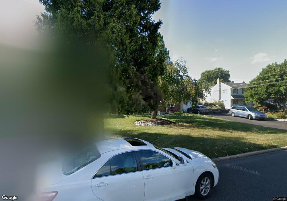
102 Butternut Dr Hatboro, PA 19040
Estimated Value: $486,000 - $521,000
4
Beds
3
Baths
2,046
Sq Ft
$244/Sq Ft
Est. Value
About This Home
This home is located at 102 Butternut Dr, Hatboro, PA 19040 and is currently estimated at $498,983, approximately $243 per square foot. 102 Butternut Dr is a home located in Montgomery County with nearby schools including Hallowell Elementary School, Keith Valley Middle School, and Hatboro-Horsham Senior High School.
Ownership History
Date
Name
Owned For
Owner Type
Purchase Details
Closed on
May 28, 1999
Sold by
Tornero Erika H
Bought by
Butterworth Edward G and Butterworth Amy J
Current Estimated Value
Create a Home Valuation Report for This Property
The Home Valuation Report is an in-depth analysis detailing your home's value as well as a comparison with similar homes in the area
Home Values in the Area
Average Home Value in this Area
Purchase History
| Date | Buyer | Sale Price | Title Company |
|---|---|---|---|
| Butterworth Edward G | $155,000 | -- |
Source: Public Records
Tax History Compared to Growth
Tax History
| Year | Tax Paid | Tax Assessment Tax Assessment Total Assessment is a certain percentage of the fair market value that is determined by local assessors to be the total taxable value of land and additions on the property. | Land | Improvement |
|---|---|---|---|---|
| 2025 | $5,715 | $145,390 | $45,600 | $99,790 |
| 2024 | $5,715 | $145,390 | $45,600 | $99,790 |
| 2023 | $5,440 | $145,390 | $45,600 | $99,790 |
| 2022 | $5,264 | $145,390 | $45,600 | $99,790 |
| 2021 | $5,139 | $145,390 | $45,600 | $99,790 |
| 2020 | $5,018 | $145,390 | $45,600 | $99,790 |
| 2019 | $4,922 | $145,390 | $45,600 | $99,790 |
| 2018 | $3,882 | $145,390 | $45,600 | $99,790 |
| 2017 | $4,701 | $145,390 | $45,600 | $99,790 |
| 2016 | $4,644 | $145,390 | $45,600 | $99,790 |
| 2015 | $4,435 | $145,390 | $45,600 | $99,790 |
| 2014 | $4,435 | $145,390 | $45,600 | $99,790 |
Source: Public Records
Map
Nearby Homes
- 204 Wilson Ave
- 416 Aspen Ln
- 414 Watson Ave
- 125 Meetinghouse Rd
- 890 Easton Rd
- 236 Oak Hill Dr
- 1002 Windsor Rd
- 604 Liberty Ridge Rd
- 603 Liberty Ridge Rd
- Faraday Plan at Liberty Ridge
- Westmont Plan at Liberty Ridge
- Northbrook Plan at Liberty Ridge
- 1130 Victoria Rd
- 616 Liberty Ridge Rd
- 605 Liberty Ridge Rd
- 607 Liberty Ridge Rd
- 611 Liberty Ridge Rd
- 1277 Beverly Rd
- 13 Eagle Ct
- 10 Eagle Ct
- 46 Butternut Dr
- 104 Butternut Dr
- 353 W Moreland Ave
- 44 Butternut Dr
- 106 Butternut Dr
- 103 Holly Dr
- 101 Butternut Dr
- 47 Holly Dr
- 103 Butternut Dr
- 45 Butternut Dr
- 42 Butternut Dr
- 108 Butternut Dr
- 45 Holly Dr
- 43 Butternut Dr
- 105 Butternut Dr
- 107 Holly Dr
- 43 Holly Dr
- 41 Butternut Dr
- 107 Butternut Dr
- 40 Butternut Dr