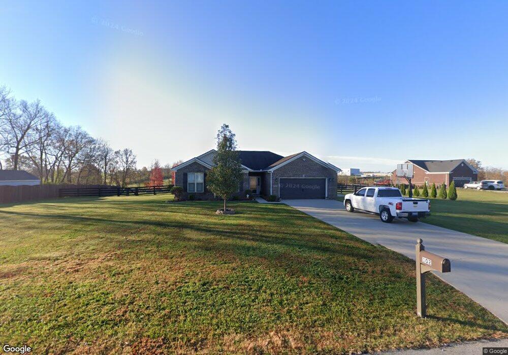
102 Cannon Way Unit 3 Georgetown, KY 40324
Muddy Ford NeighborhoodEstimated Value: $376,000 - $483,000
3
Beds
3
Baths
1,685
Sq Ft
$259/Sq Ft
Est. Value
About This Home
This home is located at 102 Cannon Way Unit 3, Georgetown, KY 40324 and is currently estimated at $436,344, approximately $258 per square foot. 102 Cannon Way Unit 3 is a home located in Scott County with nearby schools including Creekside Elementary School, Northern Elementary School, and Scott County Middle School.
Ownership History
Date
Name
Owned For
Owner Type
Purchase Details
Closed on
Jul 22, 2019
Sold by
Gibson Robert E and Gibson Eva F
Bought by
Smith Michelle K and Smith Walter B
Current Estimated Value
Home Financials for this Owner
Home Financials are based on the most recent Mortgage that was taken out on this home.
Original Mortgage
$204,000
Outstanding Balance
$178,722
Interest Rate
3.82%
Mortgage Type
New Conventional
Estimated Equity
$257,622
Purchase Details
Closed on
Nov 15, 2013
Sold by
Centrust Capital Homes Llc
Bought by
Gibson Robert E and Gibson Eva F
Home Financials for this Owner
Home Financials are based on the most recent Mortgage that was taken out on this home.
Original Mortgage
$209,271
Interest Rate
4.31%
Mortgage Type
New Conventional
Create a Home Valuation Report for This Property
The Home Valuation Report is an in-depth analysis detailing your home's value as well as a comparison with similar homes in the area
Home Values in the Area
Average Home Value in this Area
Purchase History
| Date | Buyer | Sale Price | Title Company |
|---|---|---|---|
| Smith Michelle K | $255,000 | None Available | |
| Gibson Robert E | $205,086 | None Available |
Source: Public Records
Mortgage History
| Date | Status | Borrower | Loan Amount |
|---|---|---|---|
| Open | Smith Michelle K | $204,000 | |
| Previous Owner | Gibson Robert E | $209,271 |
Source: Public Records
Tax History Compared to Growth
Tax History
| Year | Tax Paid | Tax Assessment Tax Assessment Total Assessment is a certain percentage of the fair market value that is determined by local assessors to be the total taxable value of land and additions on the property. | Land | Improvement |
|---|---|---|---|---|
| 2024 | $3,086 | $343,200 | $0 | $0 |
| 2023 | $3,112 | $343,200 | $90,000 | $253,200 |
| 2022 | $2,620 | $308,200 | $60,000 | $248,200 |
| 2021 | $2,461 | $280,600 | $60,000 | $220,600 |
| 2020 | $2,191 | $255,000 | $57,500 | $197,500 |
| 2019 | $1,648 | $255,000 | $0 | $0 |
| 2018 | $1,580 | $219,650 | $0 | $0 |
| 2017 | $1,838 | $210,725 | $0 | $0 |
| 2016 | $1,651 | $205,100 | $0 | $0 |
| 2015 | $1,641 | $205,100 | $0 | $0 |
| 2014 | $1,567 | $205,100 | $0 | $0 |
| 2011 | $393 | $54,000 | $0 | $0 |
Source: Public Records
Map
Nearby Homes
- 2491 Oxford Village Ln
- 155 Blackberry Ln
- 173 Blackberry Ln
- 163 Blackberry Ln
- 161 Blackberry Ln
- 154 Blackberry Ln
- 165 Blackberry Ln
- 167 Blackberry Ln
- 157 Blackberry Ln
- 139 Nuthatch Trail
- 141 Nuthatch Trail
- Martha Plan at Barkley Meadows
- Elizabeth Plan at Barkley Meadows
- Barbara Plan at Barkley Meadows
- Eleanor Plan at Barkley Meadows
- Nancy Plan at Barkley Meadows
- Grace Plan at Barkley Meadows
- Abigail Plan at Barkley Meadows
- Lucy Plan at Barkley Meadows
- Jackie Plan at Barkley Meadows
- 102 Cannon Way
- 1220 Delaplain Rd
- 104 Cannon Way
- 101 Brooklane Dr
- 101 Cannon Way Unit 7
- 101 Cannon Way Unit 7
- 103 Cannon Way
- 103 Cannon Way Unit 6
- 105 Brooklane Dr
- 105 Cannon Way
- 105 Cannon Way Unit 5
- 100 Brooklane Dr
- 100 Brooklane Dr Unit 30
- 107 Brooklane Dr
- 107 Brooklane Dr Unit 8
- 104 Brooklane Dr
- 104 Brooklane Dr Unit 28
- 102 Brooklane Dr
- 102 Brooklane Dr Unit 29