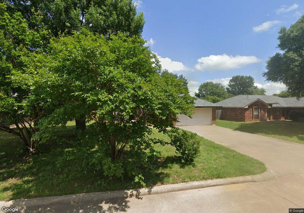
102 Catie Ln Joshua, TX 76058
Estimated Value: $263,431 - $286,000
3
Beds
2
Baths
1,490
Sq Ft
$185/Sq Ft
Est. Value
About This Home
This home is located at 102 Catie Ln, Joshua, TX 76058 and is currently estimated at $275,108, approximately $184 per square foot. 102 Catie Ln is a home located in Johnson County with nearby schools including A.G. Elder Elementary School, Joshua High School, and Joshua High School - 9th Grade Campus.
Ownership History
Date
Name
Owned For
Owner Type
Purchase Details
Closed on
Jun 21, 2013
Sold by
Halbert James D and Halbert Sherrie Diane
Bought by
Walker Bobbie R
Current Estimated Value
Home Financials for this Owner
Home Financials are based on the most recent Mortgage that was taken out on this home.
Original Mortgage
$50,000
Outstanding Balance
$11,187
Interest Rate
3.43%
Mortgage Type
New Conventional
Estimated Equity
$263,921
Create a Home Valuation Report for This Property
The Home Valuation Report is an in-depth analysis detailing your home's value as well as a comparison with similar homes in the area
Home Values in the Area
Average Home Value in this Area
Purchase History
| Date | Buyer | Sale Price | Title Company |
|---|---|---|---|
| Walker Bobbie R | -- | Adobe Title |
Source: Public Records
Mortgage History
| Date | Status | Borrower | Loan Amount |
|---|---|---|---|
| Open | Walker Bobbie R | $50,000 |
Source: Public Records
Tax History Compared to Growth
Tax History
| Year | Tax Paid | Tax Assessment Tax Assessment Total Assessment is a certain percentage of the fair market value that is determined by local assessors to be the total taxable value of land and additions on the property. | Land | Improvement |
|---|---|---|---|---|
| 2025 | $938 | $242,011 | $25,000 | $217,011 |
| 2024 | $3,936 | $161,711 | $0 | $0 |
| 2023 | $926 | $164,279 | $25,000 | $139,279 |
| 2022 | $1,091 | $164,279 | $25,000 | $139,279 |
| 2021 | $3,076 | $164,279 | $25,000 | $139,279 |
| 2020 | $3,024 | $110,450 | $25,000 | $85,450 |
| 2019 | $3,270 | $113,657 | $25,000 | $88,657 |
| 2018 | $3,361 | $113,657 | $25,000 | $88,657 |
| 2017 | $3,359 | $113,657 | $25,000 | $88,657 |
| 2016 | $3,221 | $109,005 | $15,000 | $94,005 |
| 2015 | $1,236 | $109,005 | $15,000 | $94,005 |
| 2014 | $1,236 | $109,005 | $15,000 | $94,005 |
Source: Public Records
Map
Nearby Homes
- 520 Palo Duro Dr
- 414 Dakota Dr
- 312 Comanche Walk
- 304 Comanche Walk
- 527 Lone Star St
- 608 W Sheila Cir
- 613 W Sheila Cir
- 108 Sally St
- 628 E Sheila Cir
- 629 E Sheila Cir
- 200 Wayside St
- 205 Greenhill Dr
- 107 E 10th St
- 209 E 8th St
- 102 Carlock St
- 401 Eddy Ave
- 307 Gregory St
- 601 Eddy Ave
- 500 N Main St
- 408 Eddy Ave
- 104 Catie Ln
- 100 Catie Ln
- 106 Catie Ln
- 607 Dakota Dr
- 605 Dakota Dr
- 609 Dakota Dr
- 103 Catie Ln
- 105 Catie Ln
- 101 Catie Ln
- 603 Dakota Dr
- 500 Palo Duro Dr
- 107 Catie Ln
- 214 Lone Star St
- 216 Lone Star St
- 501 Palo Duro Dr
- 501 Alta Vista St
- 210 Lone Star St
- 504 Palo Duro Dr
- 218 Lone Star St
- 208 Lone Star St