102 Choctaw Cove Gainesville, TX 76240
Estimated Value: $884,000 - $1,930,000
5
Beds
5
Baths
3,479
Sq Ft
$439/Sq Ft
Est. Value
About This Home
This home is located at 102 Choctaw Cove, Gainesville, TX 76240 and is currently estimated at $1,528,238, approximately $439 per square foot. 102 Choctaw Cove is a home located in Cooke County with nearby schools including Callisburg Elementary School, Callisburg Middle School, and Callisburg High School.
Ownership History
Date
Name
Owned For
Owner Type
Purchase Details
Closed on
May 23, 2012
Sold by
Easley Thomas Daniel and Easley Forman Mary Elizabeth
Bought by
Gelfand Andrew and Gelfand Donna
Current Estimated Value
Home Financials for this Owner
Home Financials are based on the most recent Mortgage that was taken out on this home.
Original Mortgage
$542,000
Outstanding Balance
$374,189
Interest Rate
3.9%
Mortgage Type
Purchase Money Mortgage
Estimated Equity
$1,154,049
Create a Home Valuation Report for This Property
The Home Valuation Report is an in-depth analysis detailing your home's value as well as a comparison with similar homes in the area
Home Values in the Area
Average Home Value in this Area
Purchase History
| Date | Buyer | Sale Price | Title Company |
|---|---|---|---|
| Gelfand Andrew | -- | None Available |
Source: Public Records
Mortgage History
| Date | Status | Borrower | Loan Amount |
|---|---|---|---|
| Open | Gelfand Andrew | $542,000 |
Source: Public Records
Tax History Compared to Growth
Tax History
| Year | Tax Paid | Tax Assessment Tax Assessment Total Assessment is a certain percentage of the fair market value that is determined by local assessors to be the total taxable value of land and additions on the property. | Land | Improvement |
|---|---|---|---|---|
| 2025 | $22,736 | $1,851,116 | $1,212,858 | $638,258 |
| 2024 | $22,736 | $1,920,952 | $1,239,666 | $681,286 |
| 2023 | $19,572 | $1,532,988 | $734,843 | $798,145 |
| 2022 | $20,082 | $1,353,848 | $679,935 | $673,913 |
| 2021 | $16,691 | $912,702 | $452,903 | $459,799 |
| 2020 | $17,788 | $912,702 | $452,903 | $459,799 |
| 2019 | $16,208 | $831,944 | $401,500 | $430,444 |
| 2018 | $14,487 | $739,558 | $388,649 | $350,909 |
| 2017 | $11,746 | $594,121 | $352,495 | $241,626 |
| 2015 | $11,353 | $585,504 | $352,495 | $233,009 |
| 2014 | $11,353 | $589,366 | $352,495 | $236,871 |
Source: Public Records
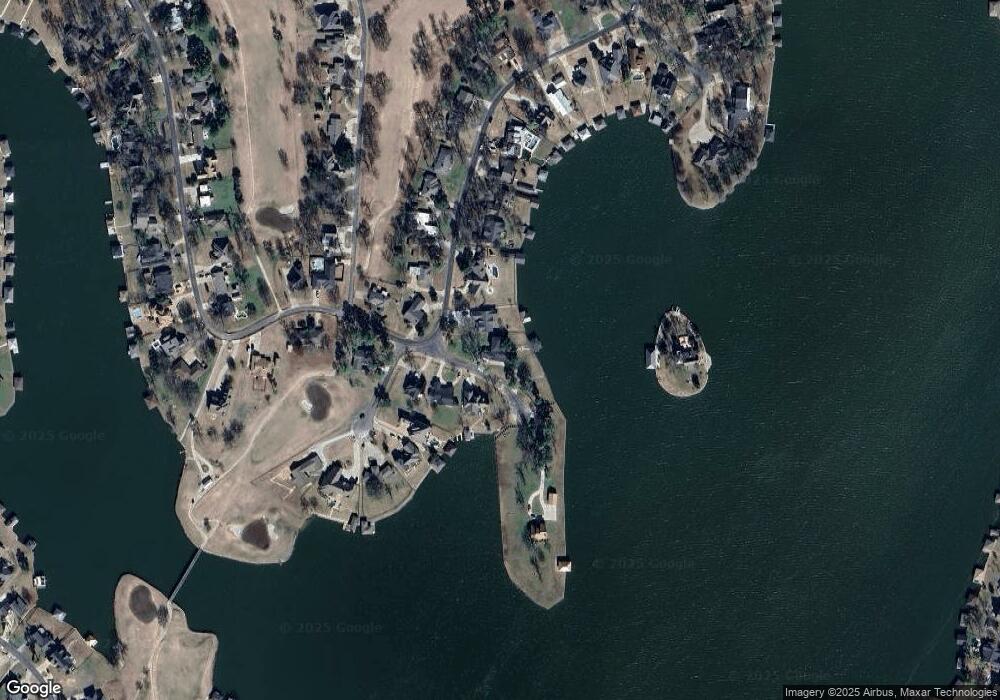
Map
Nearby Homes
- 736 Kiowa Dr W
- 100 Huron Trail
- 102 Huron Trail
- 734 Kiowa Dr W
- 702 Kiowa Dr W
- 117 Modoc Trail
- 912 Kiowa Dr W
- 615 Kiowa Dr W
- 116 Modoc Trail
- 413 Cocopa Dr
- 203 Kiowa Dr W
- 206 Modoc Trail
- 230 Navajo Trail
- 100 Kiowa Dr S
- 101 Kiowa Dr S
- 300 Navajo Trail
- 102 Bowie Cove
- 1107 Kiowa Dr E
- 111 Bowie Dr
- 105 Cocopa Cove
- 801 Kiowa Dr W
- 803 Kiowa Dr W
- 803 Kiowa Dr W
- 803 Kiowa Dr W
- 803 Kiowa Dr W
- 101 Choctaw Cove
- 742 Kiowa Dr W
- 749 Kiowa Dr W
- 100 Teepee Cove
- 822 Kiowa Dr W
- 807 Kiowa Dr W
- 740 Kiowa Dr W
- 802 Kiowa Dr W
- 102 Teepee Cove
- 747 Kiowa Dr W
- 804 Kiowa Dr W
- 809 Kiowa Dr W
- 806 Kiowa Dr W
- 806 Kiowa Dr W
- 104 Teepee Cove