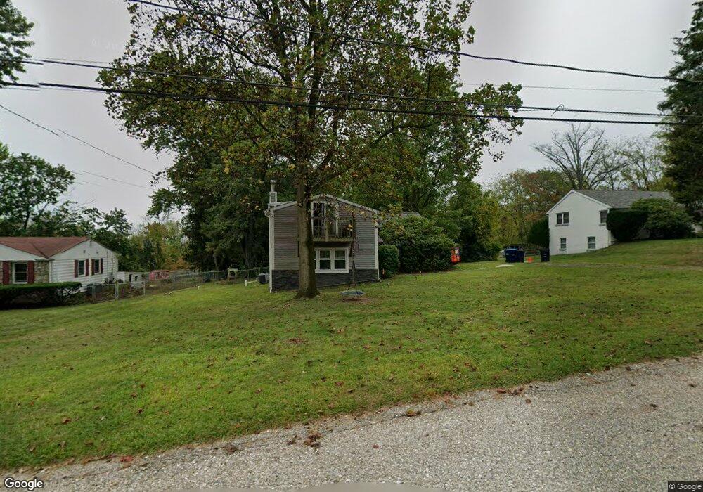
102 Cirak Ave Norristown, PA 19403
East Norriton Township NeighborhoodEstimated Value: $431,256 - $445,000
3
Beds
2
Baths
1,782
Sq Ft
$246/Sq Ft
Est. Value
About This Home
This home is located at 102 Cirak Ave, Norristown, PA 19403 and is currently estimated at $439,064, approximately $246 per square foot. 102 Cirak Ave is a home located in Montgomery County with nearby schools including Paul V Fly Elementary School, Charles Blockson Middle School, and East Norriton Middle School.
Ownership History
Date
Name
Owned For
Owner Type
Purchase Details
Closed on
Dec 3, 2004
Sold by
Cassel Wayne E and Cassel Charlene H
Bought by
Cassel Troy
Current Estimated Value
Home Financials for this Owner
Home Financials are based on the most recent Mortgage that was taken out on this home.
Original Mortgage
$150,000
Interest Rate
5.68%
Create a Home Valuation Report for This Property
The Home Valuation Report is an in-depth analysis detailing your home's value as well as a comparison with similar homes in the area
Home Values in the Area
Average Home Value in this Area
Purchase History
| Date | Buyer | Sale Price | Title Company |
|---|---|---|---|
| Cassel Troy | -- | -- |
Source: Public Records
Mortgage History
| Date | Status | Borrower | Loan Amount |
|---|---|---|---|
| Closed | Cassel Troy | $150,000 |
Source: Public Records
Tax History Compared to Growth
Tax History
| Year | Tax Paid | Tax Assessment Tax Assessment Total Assessment is a certain percentage of the fair market value that is determined by local assessors to be the total taxable value of land and additions on the property. | Land | Improvement |
|---|---|---|---|---|
| 2025 | $5,285 | $112,170 | $48,630 | $63,540 |
| 2024 | $5,285 | $112,170 | $48,630 | $63,540 |
| 2023 | $5,223 | $112,170 | $48,630 | $63,540 |
| 2022 | $5,187 | $112,170 | $48,630 | $63,540 |
| 2021 | $5,155 | $112,170 | $48,630 | $63,540 |
| 2020 | $4,995 | $112,170 | $48,630 | $63,540 |
| 2019 | $4,879 | $112,170 | $48,630 | $63,540 |
| 2018 | $4,879 | $112,170 | $48,630 | $63,540 |
| 2017 | $4,595 | $112,170 | $48,630 | $63,540 |
| 2016 | $4,551 | $112,170 | $48,630 | $63,540 |
| 2015 | $4,314 | $112,170 | $48,630 | $63,540 |
| 2014 | $4,314 | $112,170 | $48,630 | $63,540 |
Source: Public Records
Map
Nearby Homes
- 906 N Trooper Rd
- 1103 Arden Dr Unit METHACTON SCHOOL
- 0 Windy Hill Rd Unit METHACTON SD
- 3023 Eisenhower Rd
- 2939 W Germantown Pike
- 1241 & 1243 Valley Forge Rd
- 550 Burnside Ave
- LOT 1 Wanda
- 3103 Hayes Rd
- 805 Sandra Ln
- 801 N Park Ave
- 515 Faith Dr
- 511 Faith Dr
- 1613 Countryside Ln
- 1507 Potshop Rd
- 2504 Rockwood Dr
- 2967 Township Line Rd
- 805 Stonybrook Dr
- 3116 Methacton Ave
- 2515 Fieldcrest Ave
- 104 Cirak Ave
- 100 Cirak Ave
- 106 Cirak Ave
- 105 Cirak Ave
- 103 Cirak Ave
- 107 Cirak Ave
- 101 Cirak Ave
- 96 Cirak Ave
- 109 Cirak Ave
- 96 Cirak Lane 3105
- 111 Cirak Ave
- 1200 N Trooper Rd
- 90 Cirak Ave
- 1202 N Trooper Rd
- 912 N Trooper Rd
- 108 Cirak Ave
- 108 Cirak Ave
- 1014 N Trooper Rd
- 1206 N Trooper Rd
- 1161 N Trooper Rd