102 Coutant Rd Tillson, NY 12486
Estimated Value: $268,783 - $413,000
2
Beds
1
Bath
1,008
Sq Ft
$342/Sq Ft
Est. Value
About This Home
This home is located at 102 Coutant Rd, Tillson, NY 12486 and is currently estimated at $344,946, approximately $342 per square foot. 102 Coutant Rd is a home located in Ulster County with nearby schools including Kingston High School.
Ownership History
Date
Name
Owned For
Owner Type
Purchase Details
Closed on
Jul 20, 2023
Sold by
Dalessandro Michele
Bought by
Dalessandro 2022 Irt and Dalessandro
Current Estimated Value
Purchase Details
Closed on
Mar 30, 2023
Sold by
Chetta Ina A Est and Digregorio
Bought by
Dalessandro Michele
Purchase Details
Closed on
Mar 6, 2015
Sold by
Chetta Ina A and Chetta Ka Ina
Bought by
Chetta Ina A and Chetta Ka Ina
Purchase Details
Closed on
Feb 20, 2015
Sold by
Chetta Ina A and Chetta Ka Ina A
Bought by
Chetta Ina A and Chetta Ka Ina A
Create a Home Valuation Report for This Property
The Home Valuation Report is an in-depth analysis detailing your home's value as well as a comparison with similar homes in the area
Home Values in the Area
Average Home Value in this Area
Purchase History
| Date | Buyer | Sale Price | Title Company |
|---|---|---|---|
| Dalessandro 2022 Irt | -- | None Available | |
| Dalessandro Michele | $105,867 | First American Title | |
| Chetta Ina A | -- | -- | |
| Chetta Ina A | -- | -- | |
| Chetta Ina | -- | -- |
Source: Public Records
Tax History Compared to Growth
Tax History
| Year | Tax Paid | Tax Assessment Tax Assessment Total Assessment is a certain percentage of the fair market value that is determined by local assessors to be the total taxable value of land and additions on the property. | Land | Improvement |
|---|---|---|---|---|
| 2024 | $6,081 | $158,800 | $73,000 | $85,800 |
| 2023 | $6,107 | $158,800 | $73,000 | $85,800 |
| 2022 | $5,690 | $158,800 | $73,000 | $85,800 |
| 2021 | $5,690 | $158,800 | $73,000 | $85,800 |
| 2020 | $4,809 | $158,800 | $73,000 | $85,800 |
| 2019 | $4,369 | $147,000 | $73,000 | $74,000 |
| 2018 | $4,743 | $140,000 | $73,000 | $67,000 |
| 2017 | $4,449 | $130,000 | $73,000 | $57,000 |
| 2016 | $4,402 | $130,000 | $73,000 | $57,000 |
| 2015 | -- | $130,000 | $73,000 | $57,000 |
| 2014 | -- | $160,000 | $73,000 | $87,000 |
Source: Public Records
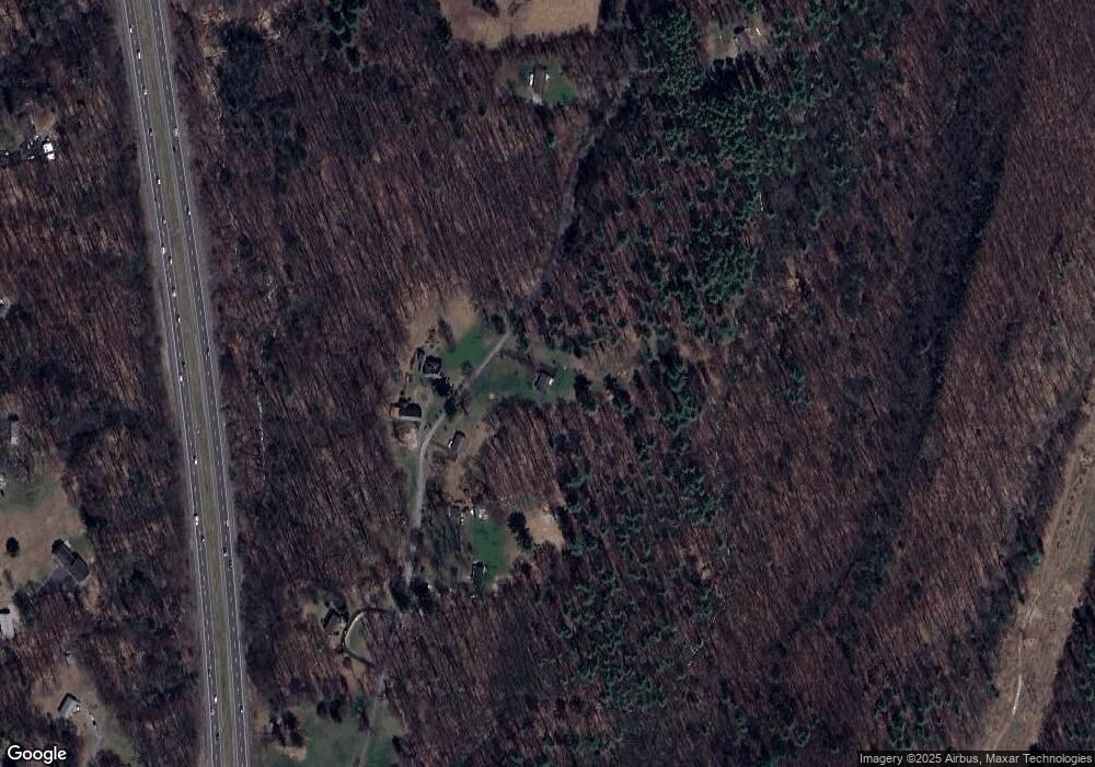
Map
Nearby Homes
- 23 Maple St
- 1883 Route 213
- 1250 County Route 351
- 1765 New York 213
- 857 Route 32
- 37 Church Hill Rd
- 988 Route 32
- 119 Orchard St
- 1282 Old Post Rd
- 792 Springtown Rd
- 856 Elting Rd
- 296 Main St
- 729 Springtown Rd
- 718 Springtown Rd
- 0 River Rd
- 116 South St
- 18 W End Ave
- 632 New York 32
- 385 Main St
- 64 Dashville Rd
- 96 Coutant Rd
- 97 Coutant Rd
- 78 Coutant Rd Unit 88
- 127 Coutant Rd
- 73 Coutant Rd
- 128 Coutant Rd
- 74 Bloomingdale Rd
- 45 Coutant Rd
- 197 Grove St
- 84 Bloomingdale Rd
- 44 Coutant Rd
- 114 Bloomingdale Rd
- 94 Bloomingdale Rd
- 88 Bloomingdale Rd
- 70 Bloomingdale Rd
- 72 Bloomingdale Rd
- 133 Grist Mill Rd
- 93 Bloomingdale Rd
- 145 Grist Mill Rd
- 193 Grove St