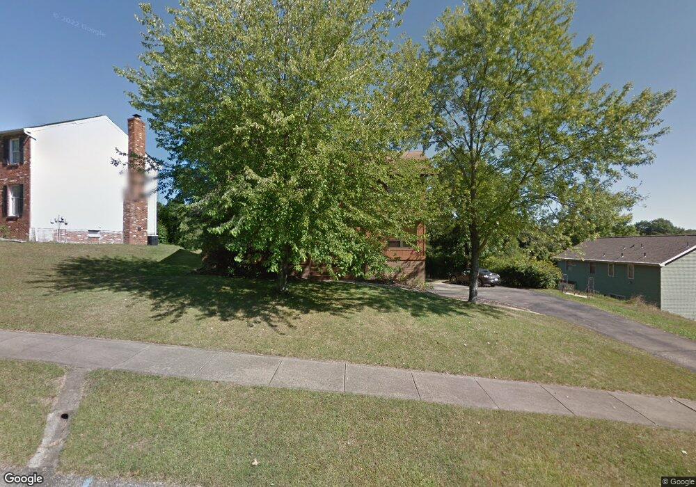
102 Cranston Dr Coraopolis, PA 15108
Estimated Value: $412,000 - $447,152
3
Beds
3
Baths
2,118
Sq Ft
$203/Sq Ft
Est. Value
About This Home
This home is located at 102 Cranston Dr, Coraopolis, PA 15108 and is currently estimated at $430,538, approximately $203 per square foot. 102 Cranston Dr is a home located in Allegheny County with nearby schools including Moon Area High School, Rhema Christian School, and Montessori Children's Community.
Ownership History
Date
Name
Owned For
Owner Type
Purchase Details
Closed on
Jul 16, 2021
Sold by
Devlin Patricia E and Devlin James J
Bought by
Devlin Patricia E
Current Estimated Value
Home Financials for this Owner
Home Financials are based on the most recent Mortgage that was taken out on this home.
Original Mortgage
$162,000
Outstanding Balance
$122,309
Interest Rate
2.24%
Mortgage Type
New Conventional
Estimated Equity
$308,229
Purchase Details
Closed on
May 16, 2005
Sold by
Frankenstein James E
Bought by
Devlin James J
Home Financials for this Owner
Home Financials are based on the most recent Mortgage that was taken out on this home.
Original Mortgage
$154,000
Interest Rate
6.05%
Mortgage Type
New Conventional
Create a Home Valuation Report for This Property
The Home Valuation Report is an in-depth analysis detailing your home's value as well as a comparison with similar homes in the area
Home Values in the Area
Average Home Value in this Area
Purchase History
| Date | Buyer | Sale Price | Title Company |
|---|---|---|---|
| Devlin Patricia E | -- | -- | |
| Devlin Patricia E | -- | None Available | |
| Devlin James J | $193,000 | -- |
Source: Public Records
Mortgage History
| Date | Status | Borrower | Loan Amount |
|---|---|---|---|
| Open | Devlin Patricia E | $162,000 | |
| Previous Owner | Devlin James J | $154,000 |
Source: Public Records
Tax History Compared to Growth
Tax History
| Year | Tax Paid | Tax Assessment Tax Assessment Total Assessment is a certain percentage of the fair market value that is determined by local assessors to be the total taxable value of land and additions on the property. | Land | Improvement |
|---|---|---|---|---|
| 2025 | $6,185 | $197,900 | $45,100 | $152,800 |
| 2024 | $6,185 | $197,900 | $45,100 | $152,800 |
| 2023 | $5,966 | $197,900 | $45,100 | $152,800 |
| 2022 | $6,508 | $197,900 | $45,100 | $152,800 |
| 2021 | $5,965 | $197,900 | $45,100 | $152,800 |
| 2020 | $5,816 | $197,900 | $45,100 | $152,800 |
| 2019 | $5,657 | $197,900 | $45,100 | $152,800 |
| 2018 | $936 | $197,900 | $45,100 | $152,800 |
| 2017 | $5,349 | $197,900 | $45,100 | $152,800 |
| 2016 | $936 | $197,900 | $45,100 | $152,800 |
| 2015 | $936 | $197,900 | $45,100 | $152,800 |
| 2014 | $5,209 | $197,900 | $45,100 | $152,800 |
Source: Public Records
Map
Nearby Homes
- 307 Windsor Dr
- 309 Windsor Dr
- 202 Oakhaven Dr
- 104 Philomena Dr
- 1705 Hassam Rd
- 203 Nottingham Dr
- 1645 Charlton Heights Rd
- 104 Great Oaks Dr
- 305 Ewing Rd
- 107 Great Oaks Dr
- 115 Norman Dr
- 122 River Ridge Dr
- 1194-1226 & 1228 Lewis Ave
- 1194-1226, 1228 Lewis Ave
- 128 River Ridge Dr
- 136 River Ridge Dr
- 134 River Ridge Dr
- 130 River Ridge Dr
- 132 River Ridge Dr
- 203 Burch Dr
- 104 Cranston Dr
- 624 Parliament Dr
- 622 Parliament Dr
- 1023 622 Parliament Dr
- 620 Parliament Dr
- 103 Cranston Dr
- 106 Cranston Dr
- 105 Cranston Dr
- 700 Parliament Dr
- 618 Parliament Dr
- 627 Parliament Dr
- 107 Cranston Dr
- 109 Cranston Dr
- 629 Parliament Dr
- 625 Parliament Dr
- 623 Parliament Dr
- 108 Cranston Dr
- 616 Parliament Dr
- 701 Parliament Dr
- 621 Parliament Dr