102 Cresent Dr Forsyth, GA 31029
Estimated Value: $804,000 - $994,000
5
Beds
4
Baths
4,154
Sq Ft
$219/Sq Ft
Est. Value
About This Home
This home is located at 102 Cresent Dr, Forsyth, GA 31029 and is currently estimated at $907,940, approximately $218 per square foot. 102 Cresent Dr is a home located in Monroe County with nearby schools including Samuel E. Hubbard Elementary School and Mary Persons High School.
Ownership History
Date
Name
Owned For
Owner Type
Purchase Details
Closed on
Jun 29, 2018
Sold by
Eusanio
Bought by
Hendrix Wilson Tasharah M and Hendrix Wilson Jamal
Current Estimated Value
Home Financials for this Owner
Home Financials are based on the most recent Mortgage that was taken out on this home.
Original Mortgage
$453,000
Outstanding Balance
$389,281
Interest Rate
4.5%
Mortgage Type
New Conventional
Estimated Equity
$518,659
Purchase Details
Closed on
Dec 14, 2004
Bought by
Eusanio Mary Ann
Purchase Details
Closed on
Dec 13, 2004
Create a Home Valuation Report for This Property
The Home Valuation Report is an in-depth analysis detailing your home's value as well as a comparison with similar homes in the area
Home Values in the Area
Average Home Value in this Area
Purchase History
| Date | Buyer | Sale Price | Title Company |
|---|---|---|---|
| Hendrix Wilson Tasharah M | $539,000 | -- | |
| Eusanio Mary Ann | -- | -- | |
| -- | $250,000 | -- |
Source: Public Records
Mortgage History
| Date | Status | Borrower | Loan Amount |
|---|---|---|---|
| Open | Hendrix Wilson Tasharah M | $453,000 |
Source: Public Records
Tax History
| Year | Tax Paid | Tax Assessment Tax Assessment Total Assessment is a certain percentage of the fair market value that is determined by local assessors to be the total taxable value of land and additions on the property. | Land | Improvement |
|---|---|---|---|---|
| 2025 | $9,792 | $359,840 | $15,400 | $344,440 |
| 2024 | $9,792 | $340,240 | $15,400 | $324,840 |
| 2023 | $8,867 | $286,080 | $15,400 | $270,680 |
| 2022 | $6,015 | $234,160 | $15,400 | $218,760 |
| 2021 | $6,091 | $229,320 | $10,560 | $218,760 |
| 2020 | $5,871 | $216,320 | $10,560 | $205,760 |
| 2019 | $5,819 | $212,920 | $7,680 | $205,240 |
| 2018 | $6,153 | $211,840 | $6,600 | $205,240 |
| 2017 | $5,971 | $205,440 | $5,480 | $199,960 |
| 2016 | $5,635 | $203,920 | $3,960 | $199,960 |
| 2015 | $5,343 | $203,920 | $3,960 | $199,960 |
| 2014 | $5,154 | $203,920 | $3,960 | $199,960 |
Source: Public Records
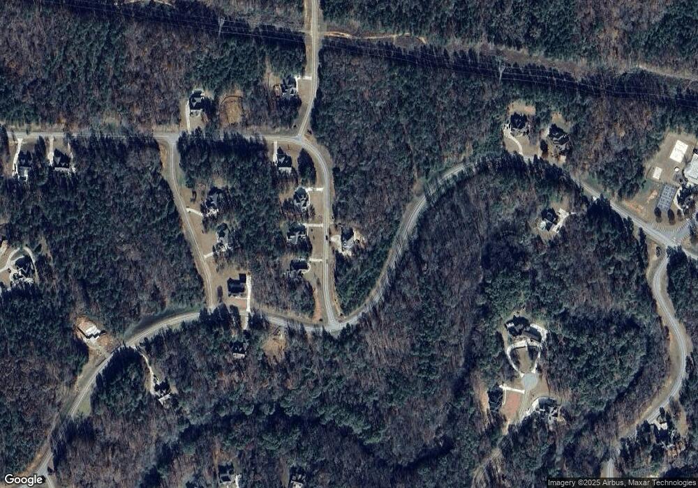
Map
Nearby Homes
- 207 Forest Pointe Dr
- 607 Forest Pointe Dr
- 415 Forest Pointe Dr
- 104 Piedmont Cir
- 100 Ridge Way
- 2762 Boxankle Rd
- 2762 Rd
- 2778 Boxankle Rd
- 2778 Boxankle Lot 9 Rd
- 2764 Boxankle Rd
- 130 Heights Ave
- 120 Heights Ave
- 118 Heights Ave
- 116 Heights Ave
- 507 River Overlook
- 114 Tee Dr
- 212 Crescent Dr
- 206 Crescent Dr
- 214 Crescent Dr
- 518 River Overlook
- 102 Cresent Dr Unit K9
- 102 Crescent Dr
- Lot L17 Forest Pointe Dr
- 507 Forest Pointe Dr
- 601 Forest Pointe Dr
- 403 Forest Pointe Dr
- 107 Forest Pointe Dr
- 506 Forest Pointe Dr
- Lot 29 Forest Pointe Dr
- 504 Forest Pointe Dr
- L-19 Forest Pointe Dr
- L-17 Forest Pointe Dr
- 505 Forest Pointe Dr
- 619 Forest Pointe Dr
- 404 Forest Pointe Dr
- 103 Crescent Dr Unit K15
- 103 Crescent Dr
- 105 Crescent Dr Unit K16
- 107 Cresent Dr Unit K17
- 107 Crescent Dr Unit K17
Your Personal Tour Guide
Ask me questions while you tour the home.