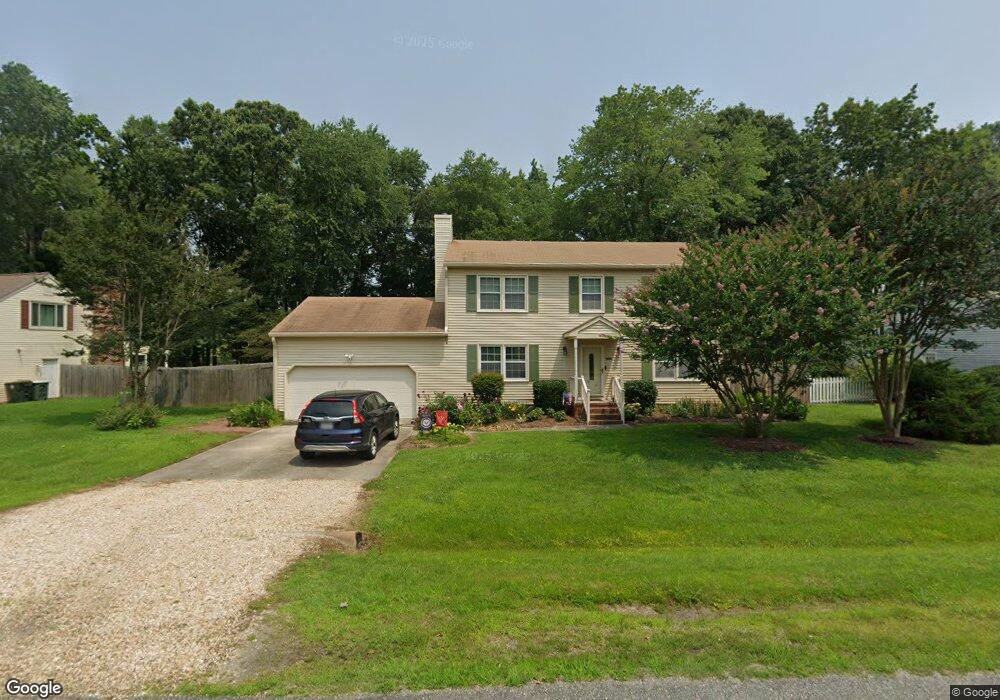
102 Davids Way Yorktown, VA 23692
Grafton NeighborhoodEstimated Value: $454,700 - $461,000
3
Beds
3
Baths
1,960
Sq Ft
$233/Sq Ft
Est. Value
About This Home
This home is located at 102 Davids Way, Yorktown, VA 23692 and is currently estimated at $456,925, approximately $233 per square foot. 102 Davids Way is a home located in York County with nearby schools including Seaford Elementary School, Yorktown Middle School, and York High School.
Ownership History
Date
Name
Owned For
Owner Type
Purchase Details
Closed on
Jul 28, 2020
Sold by
Stout Walter E and Stout Teri
Bought by
Adamson Tonya Marie
Current Estimated Value
Home Financials for this Owner
Home Financials are based on the most recent Mortgage that was taken out on this home.
Original Mortgage
$262,400
Outstanding Balance
$233,197
Interest Rate
3.1%
Mortgage Type
New Conventional
Estimated Equity
$223,728
Create a Home Valuation Report for This Property
The Home Valuation Report is an in-depth analysis detailing your home's value as well as a comparison with similar homes in the area
Home Values in the Area
Average Home Value in this Area
Purchase History
| Date | Buyer | Sale Price | Title Company |
|---|---|---|---|
| Adamson Tonya Marie | $328,000 | Stewart Title Guaranty Co |
Source: Public Records
Mortgage History
| Date | Status | Borrower | Loan Amount |
|---|---|---|---|
| Open | Adamson Tonya Marie | $262,400 |
Source: Public Records
Tax History Compared to Growth
Tax History
| Year | Tax Paid | Tax Assessment Tax Assessment Total Assessment is a certain percentage of the fair market value that is determined by local assessors to be the total taxable value of land and additions on the property. | Land | Improvement |
|---|---|---|---|---|
| 2025 | $2,758 | $372,700 | $125,800 | $246,900 |
| 2024 | $2,758 | $372,700 | $125,800 | $246,900 |
| 2023 | $2,533 | $328,900 | $125,800 | $203,100 |
| 2022 | $2,565 | $328,900 | $125,800 | $203,100 |
| 2021 | $2,398 | $301,600 | $120,800 | $180,800 |
| 2020 | $2,398 | $301,600 | $120,800 | $180,800 |
| 2019 | $3,353 | $294,100 | $115,000 | $179,100 |
| 2018 | $3,353 | $294,100 | $115,000 | $179,100 |
| 2017 | $2,176 | $289,600 | $115,000 | $174,600 |
| 2016 | -- | $289,600 | $115,000 | $174,600 |
| 2015 | -- | $289,600 | $115,000 | $174,600 |
| 2014 | -- | $289,600 | $115,000 | $174,600 |
Source: Public Records
Map
Nearby Homes
- 100 Davids Way
- 204 Harlan Dr
- 123 Kristin Ct
- 106 Karley Place
- 314 Wolf Trap Rd
- 102 Holly Place
- 121 Dorothy Dr
- 303 Rosewood Ln
- 205 Lynns Way
- 117 Stagecoach Watch
- 231 Dare Rd
- 100 Thornrose Dr
- 125 Winsome Haven Dr
- 106 Fernwood Bend
- 100 Seaford Rd
- 421 Whispering Pine Dr
- 125 Three Notched Rd
- 111 Hearthstone
- 222 Timberline Loop
- 216 Timberline Loop
- 104 Davids Way
- 106 Davids Way
- 100 Shanna Ct
- 101 Shanna Ct
- 100 Penrith Crossing
- 108 Davids Way
- 105 Davids Way
- 102 Shanna Ct
- 103 Shanna Ct
- 101 Penrith Crossing
- 102 Penrith Crossing
- 109 Davids Way
- 110 Davids Way
- 103 Penrith Crossing
- 104 Shanna Ct
- 105 Shanna Ct
- 104 Todd Ct
- 104 Penrith Crossing
- 700 Wolf Trap Rd
- 111 Davids Way