Estimated Value: $244,536 - $312,000
3
Beds
3
Baths
1,232
Sq Ft
$221/Sq Ft
Est. Value
About This Home
This home is located at 102 Deer Trail Rd, Pekin, IL 61554 and is currently estimated at $272,884, approximately $221 per square foot. 102 Deer Trail Rd is a home located in Tazewell County with nearby schools including Tremont Elementary School, Tremont Middle School, and Tremont High School.
Ownership History
Date
Name
Owned For
Owner Type
Purchase Details
Closed on
May 28, 2013
Sold by
Kirgan David K and Kirgan Kora L
Bought by
Lawson Michael and Lawson James
Current Estimated Value
Home Financials for this Owner
Home Financials are based on the most recent Mortgage that was taken out on this home.
Original Mortgage
$155,000
Outstanding Balance
$109,766
Interest Rate
3.39%
Mortgage Type
New Conventional
Estimated Equity
$163,118
Purchase Details
Closed on
Dec 4, 2009
Sold by
Underwood Richard and Underwood Christine L
Bought by
Kirgan David K and Kirgan Kora L
Create a Home Valuation Report for This Property
The Home Valuation Report is an in-depth analysis detailing your home's value as well as a comparison with similar homes in the area
Home Values in the Area
Average Home Value in this Area
Purchase History
| Date | Buyer | Sale Price | Title Company |
|---|---|---|---|
| Lawson Michael | $205,000 | First Community Title Svcs | |
| Kirgan David K | $194,000 | None Available |
Source: Public Records
Mortgage History
| Date | Status | Borrower | Loan Amount |
|---|---|---|---|
| Open | Lawson Michael | $155,000 |
Source: Public Records
Tax History Compared to Growth
Tax History
| Year | Tax Paid | Tax Assessment Tax Assessment Total Assessment is a certain percentage of the fair market value that is determined by local assessors to be the total taxable value of land and additions on the property. | Land | Improvement |
|---|---|---|---|---|
| 2024 | $3,746 | $64,460 | $4,670 | $59,790 |
| 2023 | $3,746 | $59,180 | $4,290 | $54,890 |
| 2022 | $3,608 | $55,090 | $3,990 | $51,100 |
| 2021 | $3,493 | $52,970 | $3,840 | $49,130 |
| 2020 | $3,444 | $51,930 | $3,760 | $48,170 |
| 2019 | $3,447 | $51,930 | $3,760 | $48,170 |
| 2018 | $3,636 | $55,300 | $3,760 | $51,540 |
| 2017 | $3,574 | $55,300 | $3,760 | $51,540 |
| 2016 | $3,336 | $52,180 | $3,720 | $48,460 |
| 2015 | $3,247 | $0 | $0 | $0 |
| 2013 | $3,203 | $51,660 | $3,680 | $47,980 |
Source: Public Records
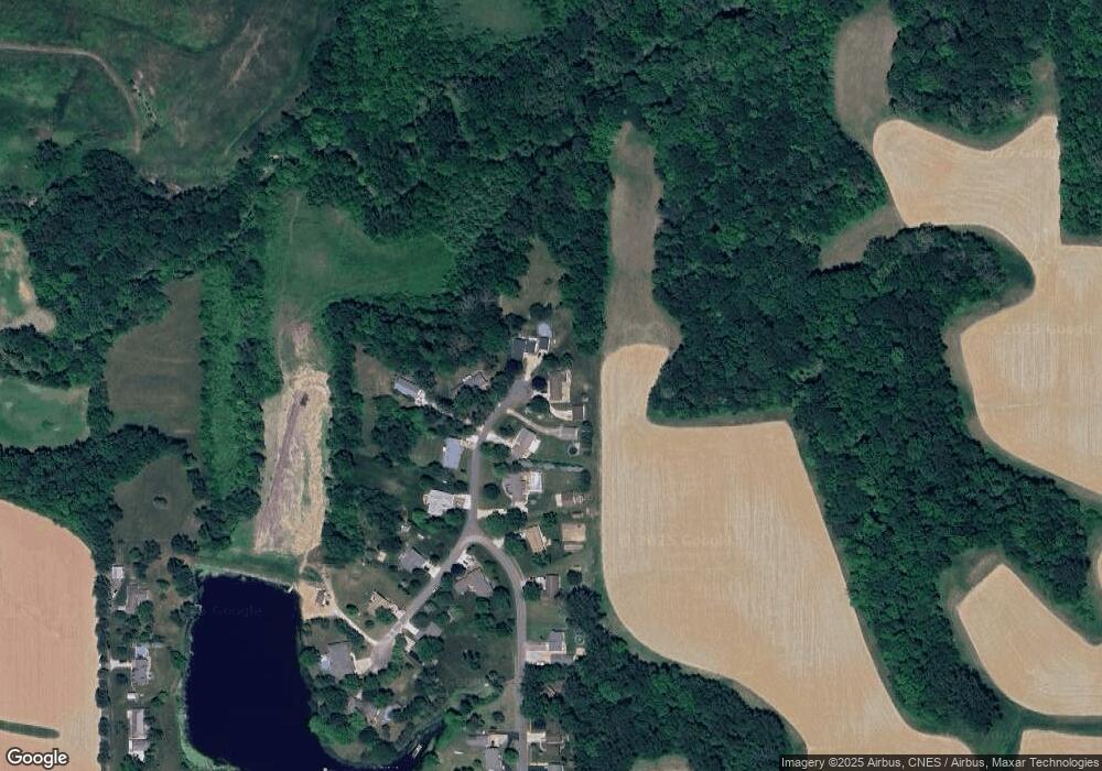
Map
Nearby Homes
- 17902 Red Shale Hill Rd
- 0 Furrow Rd
- 3858 Sunset Dr
- 13694 Egg Ranch Rd
- 205 2nd St
- 309 First
- 211 Minch St
- 1416 Vista Grande Dr
- 1960-1962 Mayflower Dr
- 1920-1922 Mayflower Dr
- 2112 Granada Dr
- 105 Royal Point Ct
- 1824 Valencia Place
- 107 Lost Creek Ct
- 303 Powers Ave
- 116 Lost Creek Ct
- 1900 Saint Clair Dr
- 12927 Illinois 29
- 1733 Saint Clair Dr
- 1700 Deppert Dr
- 100 Deer Trail Rd
- 104 Deer Trail Rd
- 101 Deer Trail Rd
- 106 Deer Trail Rd
- 105 Deer Trail Rd
- 124 Country Lake Dr
- 107 Deer Trail Rd
- 122 Country Lake Dr
- 109 Deer Trail Rd
- 117 Country Lake Dr
- 120 Country Lake Dr
- 111 Deer Trail Rd
- 108 Deer Trail Rd
- 118 Country Lake Dr
- 115 Deer Trail Rd
- 113 Country Lake Dr
- 112 Deer Trail Rd
- 112 Deer Trail Rd
- 116 Country Lake Dr
- 111 Country Lake Dr