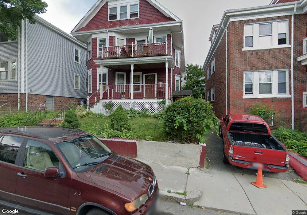
102 Deering Rd Mattapan, MA 02126
Wellington Hill NeighborhoodEstimated Value: $975,000 - $1,029,000
8
Beds
3
Baths
3,499
Sq Ft
$286/Sq Ft
Est. Value
About This Home
This home is located at 102 Deering Rd, Mattapan, MA 02126 and is currently estimated at $999,000, approximately $285 per square foot. 102 Deering Rd is a home located in Suffolk County with nearby schools including KIPP Academy Boston Charter School and Berea Seventh-day Adventist Academy.
Ownership History
Date
Name
Owned For
Owner Type
Purchase Details
Closed on
Aug 20, 1998
Sold by
Rose Eithel A
Bought by
Miller Joyce C
Current Estimated Value
Home Financials for this Owner
Home Financials are based on the most recent Mortgage that was taken out on this home.
Original Mortgage
$130,000
Outstanding Balance
$26,979
Interest Rate
6.86%
Mortgage Type
Purchase Money Mortgage
Estimated Equity
$972,021
Create a Home Valuation Report for This Property
The Home Valuation Report is an in-depth analysis detailing your home's value as well as a comparison with similar homes in the area
Home Values in the Area
Average Home Value in this Area
Purchase History
| Date | Buyer | Sale Price | Title Company |
|---|---|---|---|
| Miller Joyce C | $124,900 | -- |
Source: Public Records
Mortgage History
| Date | Status | Borrower | Loan Amount |
|---|---|---|---|
| Open | Miller Joyce C | $130,000 |
Source: Public Records
Tax History Compared to Growth
Tax History
| Year | Tax Paid | Tax Assessment Tax Assessment Total Assessment is a certain percentage of the fair market value that is determined by local assessors to be the total taxable value of land and additions on the property. | Land | Improvement |
|---|---|---|---|---|
| 2025 | $8,633 | $745,500 | $210,300 | $535,200 |
| 2024 | $7,559 | $693,500 | $213,000 | $480,500 |
| 2023 | $6,962 | $648,200 | $199,100 | $449,100 |
| 2022 | $6,410 | $589,200 | $181,000 | $408,200 |
| 2021 | $6,287 | $589,200 | $181,000 | $408,200 |
| 2020 | $5,879 | $556,700 | $192,700 | $364,000 |
| 2019 | $5,334 | $506,100 | $139,400 | $366,700 |
| 2018 | $4,734 | $451,700 | $139,400 | $312,300 |
| 2017 | $4,690 | $442,900 | $139,400 | $303,500 |
| 2016 | $4,429 | $402,600 | $139,400 | $263,200 |
| 2015 | $4,133 | $341,300 | $104,200 | $237,100 |
| 2014 | $3,834 | $304,800 | $104,200 | $200,600 |
Source: Public Records
Map
Nearby Homes
- 30-32 Westmore Rd
- 17 Greendale Rd Unit 2F
- 4 Gilmer St
- 14 Estella St Unit 2
- 6 Deering Rd
- 84 W Main St Unit 84
- 29 Havelock St
- 27 Havelock St
- 1 Finch St Unit 1
- 492 Harvard St
- 12 Finch St Unit 12
- 10 Hosmer St
- 28 Hansborough St Unit 2
- 28 Hansborough St Unit 5
- 67 Wildwood St
- 5 Sutton St
- 5 Sutton St Unit 3B
- 10 Sutton St
- 21 Ashton St Unit 1
- 69 Lucerne St
- 104 Deering Rd
- 98 Deering Rd
- 7 Westmore Rd
- 106 Deering Rd
- 9 Westmore Rd
- 108 Deering Rd
- 108 Deering Rd Unit 1
- 109 Deering Rd Unit 2
- 109 Deering Rd Unit 3
- 109 Deering Rd Unit 1
- 11 Westmore Rd
- 103 Deering Rd
- 6 Westmore Rd Unit 1
- 2 Westmore Rd
- 107 Deering Rd Unit 109
- 99 Deering Rd
- 115 Deering Rd
- 115 Deering Rd Unit 1
- 115 Deering Rd Unit 3
- 566 Harvard St Unit 568