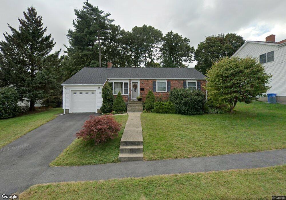
102 Doty St Waltham, MA 02452
North Waltham NeighborhoodEstimated Value: $757,000 - $840,350
3
Beds
1
Bath
1,056
Sq Ft
$744/Sq Ft
Est. Value
About This Home
This home is located at 102 Doty St, Waltham, MA 02452 and is currently estimated at $785,588, approximately $743 per square foot. 102 Doty St is a home located in Middlesex County with nearby schools including Northeast Elementary School, John F Kennedy Middle School, and Waltham Sr High School.
Ownership History
Date
Name
Owned For
Owner Type
Purchase Details
Closed on
Feb 16, 2006
Sold by
Mayer Richard M Est
Bought by
Villalta Christians G
Current Estimated Value
Home Financials for this Owner
Home Financials are based on the most recent Mortgage that was taken out on this home.
Original Mortgage
$296,800
Outstanding Balance
$167,383
Interest Rate
6.23%
Mortgage Type
Purchase Money Mortgage
Estimated Equity
$618,205
Create a Home Valuation Report for This Property
The Home Valuation Report is an in-depth analysis detailing your home's value as well as a comparison with similar homes in the area
Home Values in the Area
Average Home Value in this Area
Purchase History
| Date | Buyer | Sale Price | Title Company |
|---|---|---|---|
| Villalta Christians G | $371,000 | -- |
Source: Public Records
Mortgage History
| Date | Status | Borrower | Loan Amount |
|---|---|---|---|
| Open | Villalta Christians G | $296,800 |
Source: Public Records
Tax History
| Year | Tax Paid | Tax Assessment Tax Assessment Total Assessment is a certain percentage of the fair market value that is determined by local assessors to be the total taxable value of land and additions on the property. | Land | Improvement |
|---|---|---|---|---|
| 2025 | $6,575 | $669,600 | $461,000 | $208,600 |
| 2024 | $6,237 | $647,000 | $440,600 | $206,400 |
| 2023 | $6,157 | $596,600 | $399,800 | $196,800 |
| 2022 | $6,107 | $548,200 | $359,000 | $189,200 |
| 2021 | $6,072 | $536,400 | $359,000 | $177,400 |
| 2020 | $5,949 | $497,800 | $334,500 | $163,300 |
| 2019 | $5,976 | $472,000 | $330,400 | $141,600 |
| 2018 | $5,437 | $431,200 | $305,900 | $125,300 |
| 2017 | $5,058 | $402,700 | $277,400 | $125,300 |
| 2016 | $4,730 | $386,400 | $261,100 | $125,300 |
| 2015 | $4,577 | $348,600 | $228,400 | $120,200 |
Source: Public Records
Map
Nearby Homes
- 345 Bishops Forest Dr
- 170 Clocktower Dr Unit 103
- 86 Indian Rd
- 1105 Lexington St Unit 6-4
- 501 Lexington St Unit 11
- 203 College Farm Rd
- 100 Shirley Rd
- 12 Curve St
- 49 Lincoln St
- 89 Hardy Pond Rd
- 28 Hillcrest St
- 353 Concord Ave
- 44 Lakeview Terrace
- 16 Winter St Unit 26C
- 21 Lakeview Ave
- 50 Worcester Ln
- 9 April Ln Unit 9
- 12 Wellington Lane Ave
- 43 S Cottage Rd Unit 43
- 8 Dobbins St
Your Personal Tour Guide
Ask me questions while you tour the home.