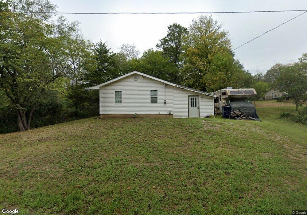
102 E 6th St Knob Noster, MO 65336
Estimated Value: $131,586 - $196,000
Studio
--
Bath
1,013
Sq Ft
$171/Sq Ft
Est. Value
About This Home
This home is located at 102 E 6th St, Knob Noster, MO 65336 and is currently estimated at $173,397, approximately $171 per square foot. 102 E 6th St is a home located in Johnson County with nearby schools including Knob Noster High School.
Ownership History
Date
Name
Owned For
Owner Type
Purchase Details
Closed on
May 9, 2012
Sold by
Plemons Joseph and Plemons Bonnei
Bought by
Jc Gemini Ii Llc
Current Estimated Value
Purchase Details
Closed on
Dec 30, 2010
Sold by
Anthony Phillip H and King Anthony Beverly F
Bought by
Anthony Phillip H and Ant Beverly F King
Purchase Details
Closed on
Apr 19, 2006
Sold by
Lewis James A
Bought by
Lewis Doris Elizabeth
Purchase Details
Closed on
Feb 23, 2006
Sold by
Lewis Doris Elizabeth
Bought by
Lewis James A
Purchase Details
Closed on
Jan 19, 2006
Sold by
Lewis James A
Bought by
Lewis James A
Purchase Details
Closed on
Jun 14, 2005
Sold by
Lewis Doris E
Bought by
Dodson Amber Renee and Dozier Amber Renee
Create a Home Valuation Report for This Property
The Home Valuation Report is an in-depth analysis detailing your home's value as well as a comparison with similar homes in the area
Home Values in the Area
Average Home Value in this Area
Purchase History
| Date | Buyer | Sale Price | Title Company |
|---|---|---|---|
| Jc Gemini Ii Llc | -- | None Available | |
| Anthony Phillip H | -- | -- | |
| Lewis Doris Elizabeth | -- | -- | |
| Lewis James A | -- | -- | |
| Lewis James A | -- | -- | |
| Lewis Stanford E | -- | -- | |
| Dodson Amber Renee | -- | None Available |
Source: Public Records
Tax History
| Year | Tax Paid | Tax Assessment Tax Assessment Total Assessment is a certain percentage of the fair market value that is determined by local assessors to be the total taxable value of land and additions on the property. | Land | Improvement |
|---|---|---|---|---|
| 2025 | $661 | $10,676 | $0 | $0 |
| 2024 | $591 | $9,902 | $0 | $0 |
| 2023 | $591 | $9,902 | $0 | $0 |
| 2022 | $569 | $9,546 | $0 | $0 |
| 2021 | $588 | $9,546 | $0 | $0 |
| 2020 | $570 | $9,189 | $0 | $0 |
| 2019 | $555 | $9,189 | $0 | $0 |
| 2017 | $528 | $9,189 | $0 | $0 |
| 2016 | $529 | $9,189 | $0 | $0 |
| 2015 | $535 | $9,189 | $0 | $0 |
| 2014 | $534 | $9,189 | $0 | $0 |
Source: Public Records
Map
Nearby Homes
- 210 W 7th St
- 1105 Charles St
- 581 Highway 50
- 1107 Charles St
- 102 E 12th St
- 107 S Jefferson Ave
- 609,611,613 W Bridge St
- 170 NE 1011
- 1057 NE 75
- 610 Elm St
- 626 Jill Ann Dr
- 606 Kendrick St
- 1407 W 6th Street Terrace
- 1403 W 6th Street Terrace
- 1405 W 7th Street Terrace
- 611 Summit Rd
- 611 Short St
- 102 Division St
- 110 Newberry Ct
- 1017 NE 250
Your Personal Tour Guide
Ask me questions while you tour the home.