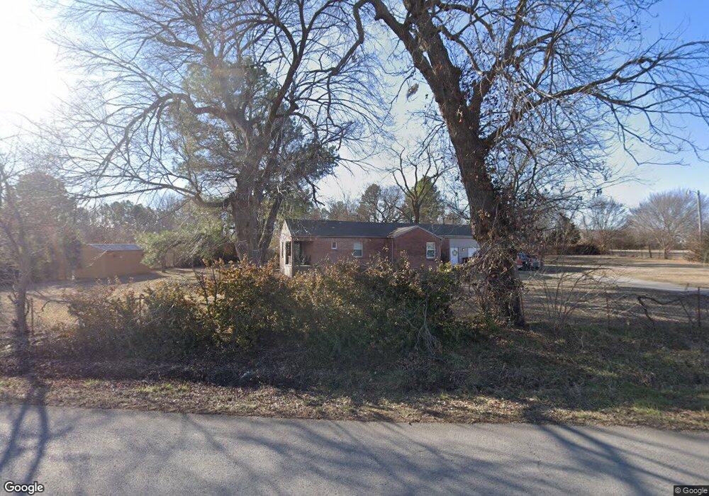
102 E 91st St N Sperry, OK 74073
Estimated Value: $173,000 - $217,000
3
Beds
3
Baths
1,608
Sq Ft
$123/Sq Ft
Est. Value
About This Home
This home is located at 102 E 91st St N, Sperry, OK 74073 and is currently estimated at $197,059, approximately $122 per square foot. 102 E 91st St N is a home located in Tulsa County with nearby schools including Sperry Elementary School, Sperry Middle School, and Sperry High School.
Ownership History
Date
Name
Owned For
Owner Type
Purchase Details
Closed on
Aug 28, 2019
Sold by
King John S
Bought by
Teel Billie Jean
Current Estimated Value
Home Financials for this Owner
Home Financials are based on the most recent Mortgage that was taken out on this home.
Original Mortgage
$89,900
Outstanding Balance
$79,239
Interest Rate
4.12%
Mortgage Type
Adjustable Rate Mortgage/ARM
Estimated Equity
$117,820
Purchase Details
Closed on
Sep 19, 2017
Sold by
Naseri Zagros
Bought by
King John S
Home Financials for this Owner
Home Financials are based on the most recent Mortgage that was taken out on this home.
Original Mortgage
$65,000
Interest Rate
3.78%
Mortgage Type
New Conventional
Purchase Details
Closed on
Oct 2, 2014
Sold by
Rose Glenda J
Bought by
Naseri Zagros and King John S
Create a Home Valuation Report for This Property
The Home Valuation Report is an in-depth analysis detailing your home's value as well as a comparison with similar homes in the area
Home Values in the Area
Average Home Value in this Area
Purchase History
| Date | Buyer | Sale Price | Title Company |
|---|---|---|---|
| Teel Billie Jean | $90,000 | Firstitle & Abstract Svcs Ll | |
| King John S | -- | None Available | |
| Naseri Zagros | $5,000 | None Available |
Source: Public Records
Mortgage History
| Date | Status | Borrower | Loan Amount |
|---|---|---|---|
| Open | Teel Billie Jean | $89,900 | |
| Previous Owner | King John S | $65,000 |
Source: Public Records
Tax History Compared to Growth
Tax History
| Year | Tax Paid | Tax Assessment Tax Assessment Total Assessment is a certain percentage of the fair market value that is determined by local assessors to be the total taxable value of land and additions on the property. | Land | Improvement |
|---|---|---|---|---|
| 2024 | $989 | $8,900 | $752 | $8,148 |
| 2023 | $989 | $9,900 | $836 | $9,064 |
| 2022 | $997 | $8,900 | $752 | $8,148 |
| 2021 | $1,103 | $9,900 | $836 | $9,064 |
| 2020 | $1,105 | $9,900 | $836 | $9,064 |
| 2019 | $803 | $7,150 | $836 | $6,314 |
| 2018 | $803 | $7,150 | $836 | $6,314 |
| 2017 | $778 | $7,150 | $836 | $6,314 |
| 2016 | $775 | $7,150 | $836 | $6,314 |
| 2015 | $237 | $2,200 | $836 | $1,364 |
| 2014 | $687 | $7,447 | $836 | $6,611 |
Source: Public Records
Map
Nearby Homes
- 2012 W 88th St N
- 8588 N Cincinnati Ave
- 0 Sunset Unit 2544339
- 0 Sunset Unit 2544356
- 9084 N Osage Dr
- 299 W Cherry
- 308 S Cincinnati Ave
- 9545 S Cincinnati St
- 202 W Ada St
- 109 N Coal St
- 1819 W Oak Knoll
- 0003 E 84th St N
- 9610 N Peoria Ave
- 10201 N Cincinnati Ave
- 9026 Crestwood Dr
- 9839 N Peoria Ave
- 2781 W 88th St N
- 7487 N Oakcliff Dr
- 4787 E 106th St N
- 7512 N Owasso Place
- 9100 N Cincinnati Ave
- 9200 N Cincinnati Ave
- 6907 W 91st St N
- 7003 W 91st St N
- 6805 W 91st St N
- 7125 W 91st St N
- 7101 W 91st St N
- 6919 W 91st St N
- 7113 W 91st St N
- 2216 W 89th St N
- 2211 W 89th St N
- 8901 N Cincinnati Ave
- 5402 W 88th St N
- 2008 W 88th St N
- 2010 W 88th St N
- 2006 W 88th St N
- 2871 W 88th St N
- 0 N 88th St Unit 312187
- 0 N 88th St Unit 328856