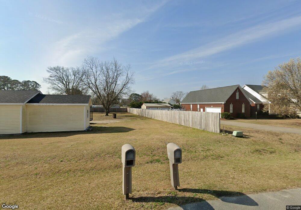
102 E April Ln Goldsboro, NC 27530
Estimated Value: $398,000 - $528,515
4
Beds
4
Baths
3,477
Sq Ft
$139/Sq Ft
Est. Value
About This Home
This home is located at 102 E April Ln, Goldsboro, NC 27530 and is currently estimated at $484,129, approximately $139 per square foot. 102 E April Ln is a home located in Wayne County with nearby schools including Northwest Elementary School, Norwayne Middle School, and Charles B. Aycock High School.
Ownership History
Date
Name
Owned For
Owner Type
Purchase Details
Closed on
Nov 15, 2010
Sold by
Mclamb Joseph T and Mclamb Jane Sasser
Bought by
Mclamb Joseph T and Mclamb Jane Sasser
Current Estimated Value
Purchase Details
Closed on
Mar 1, 1998
Purchase Details
Closed on
Dec 1, 1997
Purchase Details
Closed on
Jun 1, 1996
Purchase Details
Closed on
Dec 1, 1995
Create a Home Valuation Report for This Property
The Home Valuation Report is an in-depth analysis detailing your home's value as well as a comparison with similar homes in the area
Home Values in the Area
Average Home Value in this Area
Purchase History
| Date | Buyer | Sale Price | Title Company |
|---|---|---|---|
| Mclamb Joseph T | -- | None Available | |
| -- | $235,000 | -- | |
| -- | $249,000 | -- | |
| -- | $224,000 | -- | |
| -- | $35,000 | -- |
Source: Public Records
Tax History Compared to Growth
Tax History
| Year | Tax Paid | Tax Assessment Tax Assessment Total Assessment is a certain percentage of the fair market value that is determined by local assessors to be the total taxable value of land and additions on the property. | Land | Improvement |
|---|---|---|---|---|
| 2025 | $5,070 | $460,640 | $63,000 | $397,640 |
| 2024 | $4,708 | $335,600 | $52,500 | $283,100 |
| 2023 | $4,703 | $335,600 | $52,500 | $283,100 |
| 2022 | $4,782 | $335,600 | $52,500 | $283,100 |
| 2021 | $4,744 | $335,600 | $52,500 | $283,100 |
| 2020 | $4,676 | $335,600 | $52,500 | $283,100 |
| 2018 | $2,406 | $327,490 | $70,000 | $257,490 |
| 2017 | $2,406 | $327,490 | $70,000 | $257,490 |
| 2016 | $2,406 | $327,490 | $70,000 | $257,490 |
| 2015 | $2,411 | $327,490 | $70,000 | $257,490 |
| 2014 | $2,416 | $327,490 | $70,000 | $257,490 |
Source: Public Records
Map
Nearby Homes
- 176 Perkins Rd
- 404 Lane Tree Dr
- 276 Buck Swamp Rd
- 106 Yelverton Place
- 585 Buck Swamp Rd
- 302 Morgan Trace Ln
- 101 Mcwood Place
- 408 Perkins Rd
- 203 Lane Tree Dr
- 205 Carlyle Cir
- 102 Olde Mill Creek Dr
- 100 W Berkshire Ct
- 455 Perkins Rd
- 479 Perkins Rd
- 220 Creek Ridge Dr
- 139 Livingston Dr
- 461 Perkins
- 600 Morgan Trace Ln
- 608 Adler Ln
- 104 Angel Place