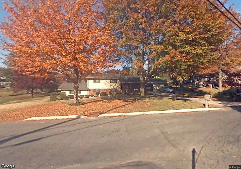
102 Forrest Park Rd Dalton, GA 30721
Estimated Value: $300,369 - $320,000
--
Bed
3
Baths
1,683
Sq Ft
$184/Sq Ft
Est. Value
About This Home
This home is located at 102 Forrest Park Rd, Dalton, GA 30721 and is currently estimated at $309,592, approximately $183 per square foot. 102 Forrest Park Rd is a home located in Whitfield County with nearby schools including Pleasant Grove Elementary School, New Hope Middle School, and Northwest Whitfield County High School.
Ownership History
Date
Name
Owned For
Owner Type
Purchase Details
Closed on
May 11, 2004
Sold by
Hankins Mary Ruth
Bought by
Howell Harold D and Helen Genevieve
Current Estimated Value
Purchase Details
Closed on
Apr 1, 1996
Bought by
Hankins Mary Ruth
Create a Home Valuation Report for This Property
The Home Valuation Report is an in-depth analysis detailing your home's value as well as a comparison with similar homes in the area
Home Values in the Area
Average Home Value in this Area
Purchase History
| Date | Buyer | Sale Price | Title Company |
|---|---|---|---|
| Howell Harold D | -- | -- | |
| Hankins Mary Ruth | -- | -- |
Source: Public Records
Tax History Compared to Growth
Tax History
| Year | Tax Paid | Tax Assessment Tax Assessment Total Assessment is a certain percentage of the fair market value that is determined by local assessors to be the total taxable value of land and additions on the property. | Land | Improvement |
|---|---|---|---|---|
| 2024 | $354 | $112,848 | $15,600 | $97,248 |
| 2023 | $644 | $79,941 | $10,600 | $69,341 |
| 2022 | $513 | $67,736 | $10,600 | $57,136 |
| 2021 | $513 | $67,736 | $10,600 | $57,136 |
| 2020 | $561 | $67,736 | $10,600 | $57,136 |
| 2019 | $585 | $67,736 | $10,600 | $57,136 |
| 2018 | $544 | $62,699 | $10,600 | $52,099 |
| 2017 | $545 | $62,699 | $10,600 | $52,099 |
| 2016 | $428 | $56,986 | $5,250 | $51,736 |
| 2014 | $298 | $56,986 | $5,250 | $51,736 |
| 2013 | -- | $56,986 | $5,250 | $51,736 |
Source: Public Records
Map
Nearby Homes
- 522 Westbrook Rd
- 117 Pleasant Hill Dr
- 2502 E Hillview Dr
- 0 TRACT 5 2nd St
- 407 Quillian Rd
- 439 Westbrook Rd
- 192 Carly Dr
- 2615 Cleveland Hwy
- 110 Pinewood Way
- 468 Fox Den Cir
- 459 Fox Den Cir
- 402 Fox Den Cir
- 112 Albertson Dr
- Salem Plan at Fox Hollow
- Hanover Plan at Fox Hollow
- Freeport Plan at Fox Hollow
- Belhaven Plan at Fox Hollow
- Cali Plan at Fox Hollow
- Penwell Plan at Fox Hollow
- The Braselton II Plan at The Andros
- 103 Sharondale Dr
- 104 Forrest Park Rd
- 105 Sharondale Dr
- 106 Shallowford Rd
- 104 Sharondale Dr
- 108 Sharondale Dr
- 101 Forrest Park Rd
- 108 Shallowford Rd
- 520 Westbrook Rd
- 106 Forrest Park Rd
- 102 Sharondale Dr
- 103 Forrest Park Rd
- 109 Sharondale Dr
- 105 Shallowford Rd
- 110 Shallowford Rd
- 108 Forrest Park Rd
- 521 Westbrook Rd
- 107 Shallowford Rd
- 105 Forrest Park Rd
- 110 Sharondale Dr