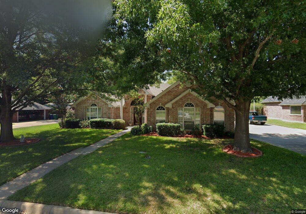
102 Ginger Dr Pottsboro, TX 75076
Estimated Value: $291,233 - $379,000
--
Bed
--
Bath
1,593
Sq Ft
$214/Sq Ft
Est. Value
About This Home
This home is located at 102 Ginger Dr, Pottsboro, TX 75076 and is currently estimated at $340,308, approximately $213 per square foot. 102 Ginger Dr is a home located in Grayson County with nearby schools including Pottsboro Elementary School, Pottsboro Middle School, and Pottsboro High School.
Ownership History
Date
Name
Owned For
Owner Type
Purchase Details
Closed on
May 29, 2025
Sold by
Brown Syd Marsh and Brown Sydney Ann
Bought by
Crump Justin and Crump Siobhan
Current Estimated Value
Home Financials for this Owner
Home Financials are based on the most recent Mortgage that was taken out on this home.
Original Mortgage
$308,760
Outstanding Balance
$307,970
Interest Rate
6.83%
Mortgage Type
FHA
Estimated Equity
$32,338
Purchase Details
Closed on
May 23, 2007
Sold by
Mcfarlan Raymond R and Mcfarlan Mary W
Bought by
Brown Ronnie R and Brown Sydney A
Home Financials for this Owner
Home Financials are based on the most recent Mortgage that was taken out on this home.
Original Mortgage
$139,783
Interest Rate
6.22%
Mortgage Type
Purchase Money Mortgage
Create a Home Valuation Report for This Property
The Home Valuation Report is an in-depth analysis detailing your home's value as well as a comparison with similar homes in the area
Home Values in the Area
Average Home Value in this Area
Purchase History
| Date | Buyer | Sale Price | Title Company |
|---|---|---|---|
| Crump Justin | -- | None Listed On Document | |
| Brown Ronnie R | -- | None Available |
Source: Public Records
Mortgage History
| Date | Status | Borrower | Loan Amount |
|---|---|---|---|
| Open | Crump Justin | $308,760 | |
| Previous Owner | Brown Ronnie R | $139,783 |
Source: Public Records
Tax History Compared to Growth
Tax History
| Year | Tax Paid | Tax Assessment Tax Assessment Total Assessment is a certain percentage of the fair market value that is determined by local assessors to be the total taxable value of land and additions on the property. | Land | Improvement |
|---|---|---|---|---|
| 2025 | $1,013 | $341,169 | -- | -- |
| 2024 | $5,986 | $310,154 | $0 | $0 |
| 2023 | $1,013 | $281,958 | $0 | $0 |
| 2022 | $5,431 | $256,325 | $0 | $0 |
| 2021 | $5,169 | $233,023 | $12,000 | $221,023 |
| 2020 | $5,165 | $225,374 | $12,000 | $213,374 |
| 2019 | $5,294 | $231,126 | $12,000 | $219,126 |
| 2018 | $4,858 | $200,560 | $12,000 | $188,560 |
| 2017 | $4,556 | $185,864 | $12,000 | $173,864 |
| 2016 | $4,371 | $187,989 | $18,602 | $169,387 |
| 2015 | $1,881 | $162,117 | $18,602 | $143,515 |
| 2014 | $1,999 | $155,283 | $18,602 | $136,681 |
Source: Public Records
Map
Nearby Homes
- 113 Ginger Dr
- 105 Park Ln
- Lot 14 Lauren Ln
- 137 Pearce Dr
- 106 Cardinal Ln
- TBD Cardinal Ln
- 412 Main St
- 209 Chrissa Dr
- 206 S Magnolia St
- 408 Front St
- 505 S Magnolia St
- 308 Front St
- 106 Kristy Ct
- 110 E Fm 120
- 111 Prairie Meadow Ln
- TBD Pearce Dr
- 105 E William St
- 101 Rock Hill Rd
- 102 William St
- 113 Rock Hill Rd