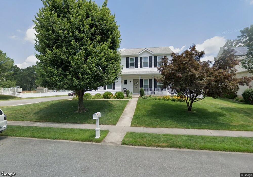
102 Greentree Ct Mays Landing, NJ 08330
Estimated Value: $384,035 - $497,000
--
Bed
--
Bath
2,080
Sq Ft
$206/Sq Ft
Est. Value
About This Home
This home is located at 102 Greentree Ct, Mays Landing, NJ 08330 and is currently estimated at $429,009, approximately $206 per square foot. 102 Greentree Ct is a home located in Atlantic County with nearby schools including Joseph Shaner School, George L. Hess Educational Complex, and William Davies Middle School.
Ownership History
Date
Name
Owned For
Owner Type
Purchase Details
Closed on
Dec 19, 1997
Sold by
Group Ten Builders Inc
Bought by
Olmeda Hector and Olmeda Lourdes M
Current Estimated Value
Home Financials for this Owner
Home Financials are based on the most recent Mortgage that was taken out on this home.
Original Mortgage
$143,600
Interest Rate
7.08%
Create a Home Valuation Report for This Property
The Home Valuation Report is an in-depth analysis detailing your home's value as well as a comparison with similar homes in the area
Home Values in the Area
Average Home Value in this Area
Purchase History
| Date | Buyer | Sale Price | Title Company |
|---|---|---|---|
| Olmeda Hector | $151,200 | -- |
Source: Public Records
Mortgage History
| Date | Status | Borrower | Loan Amount |
|---|---|---|---|
| Closed | Olmeda Hector | $143,600 |
Source: Public Records
Tax History Compared to Growth
Tax History
| Year | Tax Paid | Tax Assessment Tax Assessment Total Assessment is a certain percentage of the fair market value that is determined by local assessors to be the total taxable value of land and additions on the property. | Land | Improvement |
|---|---|---|---|---|
| 2025 | $7,929 | $231,100 | $50,000 | $181,100 |
| 2024 | $7,929 | $231,100 | $50,000 | $181,100 |
| 2023 | $7,455 | $231,100 | $50,000 | $181,100 |
| 2022 | $7,455 | $231,100 | $50,000 | $181,100 |
| 2021 | $7,439 | $231,100 | $50,000 | $181,100 |
| 2020 | $7,439 | $231,100 | $50,000 | $181,100 |
| 2019 | $7,458 | $231,100 | $50,000 | $181,100 |
| 2018 | $7,196 | $231,100 | $50,000 | $181,100 |
| 2017 | $7,083 | $231,100 | $50,000 | $181,100 |
| 2016 | $6,884 | $231,100 | $50,000 | $181,100 |
| 2015 | $6,651 | $231,100 | $50,000 | $181,100 |
| 2014 | $6,780 | $258,100 | $55,000 | $203,100 |
Source: Public Records
Map
Nearby Homes
- 87 Devon Rd
- 0 Harding Hwy Unit 597638
- 0 Harding Hwy Unit NJAC2019438
- 6314 Lance Ave
- 6307 Lance Ave
- 6301 Knight Ave
- 6302 Palmer Ave
- 6140 Robin Dr
- 6206 Roberts Ave
- 6251 Old Harding Hwy
- 16 Holly Ct
- 13 Hickory Ln
- 14 Hickory Ln
- 10 Locust Ct
- 4 Locust Ct
- 11 Maple Ct
- 42 Dogwood Ln
- 39 Dogwood Ln Unit OAKS OF WEYMOUTH
- 39 Dogwood Ln
- 43 Hickory Ln Unit NJ
- 106 Greentree Ct
- 104 Greentree Ct
- 100 Devon Rd
- 67 Freemont Ct
- 98 Devon Rd
- 28 Westwood Rd
- 120 Greentree Ct
- 118 Greentree Ct
- 65 Freemont Ct
- 126 Greentree Ct
- 96 Devon Rd
- 51 Freemont Ct
- 26 Westwood Rd
- 110 Greentree Ct
- 112 Greentree Ct
- 53 Freemont Ct
- 130 Emerson Ct
- 128 Emerson Ct
- 116 Greentree Ct
- 114 Greentree Ct