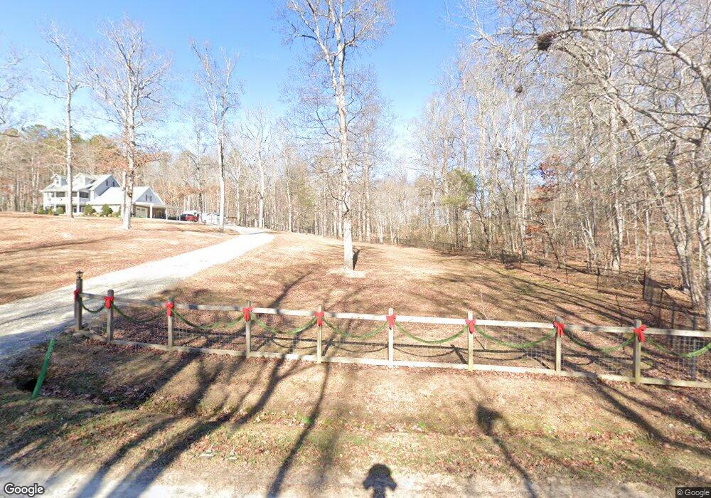
102 Hawks Nest Rd Unit 2 Blairsville, GA 30512
Estimated Value: $543,331 - $604,000
4
Beds
4
Baths
3,170
Sq Ft
$180/Sq Ft
Est. Value
About This Home
This home is located at 102 Hawks Nest Rd Unit 2, Blairsville, GA 30512 and is currently estimated at $572,083, approximately $180 per square foot. 102 Hawks Nest Rd Unit 2 is a home located in Union County with nearby schools including Union County Primary School, Union County Elementary School, and Union County Middle School.
Ownership History
Date
Name
Owned For
Owner Type
Purchase Details
Closed on
Jun 13, 2024
Sold by
Kiefer Kristen Maria
Bought by
Kiefer Family Revocable Living Trust and Kiefer Kristen Maria Tr
Current Estimated Value
Purchase Details
Closed on
Feb 15, 2017
Sold by
Sweetman James A
Bought by
Kiefer Kristen Maria
Home Financials for this Owner
Home Financials are based on the most recent Mortgage that was taken out on this home.
Original Mortgage
$261,250
Interest Rate
4.09%
Mortgage Type
New Conventional
Purchase Details
Closed on
Jun 25, 2010
Sold by
United Community Bank
Bought by
Sweetman James A
Purchase Details
Closed on
Jan 5, 2010
Sold by
Troyer David and United Community Bank
Bought by
United Community Bank
Purchase Details
Closed on
Dec 5, 1996
Bought by
Troyer David
Purchase Details
Closed on
Sep 11, 1995
Bought by
Troyer Sylvia and Troyer Davi
Create a Home Valuation Report for This Property
The Home Valuation Report is an in-depth analysis detailing your home's value as well as a comparison with similar homes in the area
Home Values in the Area
Average Home Value in this Area
Purchase History
| Date | Buyer | Sale Price | Title Company |
|---|---|---|---|
| Kiefer Family Revocable Living Trust | -- | -- | |
| Kiefer Kristen Maria | $275,000 | -- | |
| Sweetman James A | $80,000 | -- | |
| United Community Bank | $60,851 | -- | |
| Troyer David | -- | -- | |
| Troyer Sylvia | $21,000 | -- |
Source: Public Records
Mortgage History
| Date | Status | Borrower | Loan Amount |
|---|---|---|---|
| Previous Owner | Kiefer Kristen Maria | $261,250 |
Source: Public Records
Tax History Compared to Growth
Tax History
| Year | Tax Paid | Tax Assessment Tax Assessment Total Assessment is a certain percentage of the fair market value that is determined by local assessors to be the total taxable value of land and additions on the property. | Land | Improvement |
|---|---|---|---|---|
| 2024 | $2,469 | $209,080 | $16,720 | $192,360 |
| 2023 | $2,723 | $204,520 | $16,720 | $187,800 |
| 2022 | $2,162 | $162,380 | $15,480 | $146,900 |
| 2021 | $2,092 | $132,760 | $15,480 | $117,280 |
| 2020 | $1,643 | $86,843 | $16,029 | $70,814 |
| 2019 | $1,553 | $86,843 | $16,029 | $70,814 |
| 2018 | $1,525 | $86,843 | $16,029 | $70,814 |
| 2017 | $1,490 | $86,843 | $16,029 | $70,814 |
| 2016 | $1,491 | $86,843 | $16,029 | $70,814 |
| 2015 | $1,504 | $86,843 | $16,029 | $70,814 |
| 2013 | -- | $86,842 | $16,029 | $70,813 |
Source: Public Records
Map
Nearby Homes
- LOT 10 Hawks Nest Rd Unit 10
- lot 8 Hawks Nest Rd
- 10 W Hawks Nest Rd
- 125 Spivey Ridge Rd
- 540 Young Cane Creek Rd
- Lot 16 Stacy Ln
- Lot 17 Stacy Ln
- 369 Timber Blossom Dr
- 763 Sharp Top Cir
- 274 Wild Ridge Rd
- 127 Hard Rock Hill
- 63 Rolling Hills
- LOT 48 Laurel Brooke
- LOT 29 Sharp Top Cir
- LOT 26 Sharp Top Cir
- 70 Martys Dr
- 542 Sharp Top Cir
- 001 Harmony Rd
- LT 53 Clay Dr
- 189 Fountain Oaks Dr
- 102 Hawks Nest Rd
- 8296 Hawks Nest Ln
- 22 Hawks Nest Ln
- 44 Hawks Nest Rd
- 51 Hawks Nest Ln
- 68 Hawks Nest Ln
- 43 Hawks Nest Rd
- 69 Hawks Nest Ln
- 269 Hawks Nest Rd
- 546 Pearl Wright Rd
- 212 Hawks Nest Rd
- 21 Hawks Nest Rd
- 91 Hawks Nest Ln
- 3528 Jones Creek Rd
- 121 Hawks Nest Ln
- 121 Hawks Nest Ln Unit 4-D
- 461 Jones Creek Ln
- 512 Pearl Wright Rd
- 345 Jones Creek Ln
- 318 Hawks Nest Rd