Estimated Value: $742,082 - $851,000
3
Beds
2
Baths
1,366
Sq Ft
$583/Sq Ft
Est. Value
About This Home
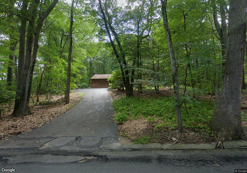
This home is located at 102 Hayward Rd, Acton, MA 01720 and is currently estimated at $797,021, approximately $583 per square foot. 102 Hayward Rd is a home located in Middlesex County with nearby schools including Acton-Boxborough Regional High School.
Ownership History
Date
Name
Owned For
Owner Type
Purchase Details
Closed on
Aug 29, 1996
Sold by
Rizkin Mikhail and Spektor Irina
Bought by
Grimshaw Paul E
Current Estimated Value
Home Financials for this Owner
Home Financials are based on the most recent Mortgage that was taken out on this home.
Original Mortgage
$165,000
Outstanding Balance
$14,143
Interest Rate
8.18%
Mortgage Type
Purchase Money Mortgage
Estimated Equity
$782,878
Purchase Details
Closed on
Jul 22, 1991
Sold by
Mayes Robert C
Bought by
Rizkin Mikhail and Spektor Irina
Home Financials for this Owner
Home Financials are based on the most recent Mortgage that was taken out on this home.
Original Mortgage
$162,000
Interest Rate
9.36%
Mortgage Type
Purchase Money Mortgage
Purchase Details
Closed on
Nov 30, 1987
Sold by
Nelson Ernest E
Bought by
Mayes Robert C
Create a Home Valuation Report for This Property
The Home Valuation Report is an in-depth analysis detailing your home's value as well as a comparison with similar homes in the area
Home Values in the Area
Average Home Value in this Area
Purchase History
| Date | Buyer | Sale Price | Title Company |
|---|---|---|---|
| Grimshaw Paul E | $225,000 | -- | |
| Rizkin Mikhail | $180,000 | -- | |
| Mayes Robert C | $214,500 | -- |
Source: Public Records
Mortgage History
| Date | Status | Borrower | Loan Amount |
|---|---|---|---|
| Open | Mayes Robert C | $165,000 | |
| Previous Owner | Mayes Robert C | $161,000 | |
| Previous Owner | Mayes Robert C | $161,500 | |
| Previous Owner | Mayes Robert C | $162,000 |
Source: Public Records
Tax History
| Year | Tax Paid | Tax Assessment Tax Assessment Total Assessment is a certain percentage of the fair market value that is determined by local assessors to be the total taxable value of land and additions on the property. | Land | Improvement |
|---|---|---|---|---|
| 2025 | $11,422 | $666,000 | $333,400 | $332,600 |
| 2024 | $10,849 | $650,800 | $333,400 | $317,400 |
| 2023 | $10,525 | $599,400 | $303,500 | $295,900 |
| 2022 | $10,478 | $538,700 | $263,700 | $275,000 |
| 2021 | $10,012 | $494,900 | $244,200 | $250,700 |
| 2020 | $9,349 | $485,900 | $244,200 | $241,700 |
| 2019 | $8,856 | $457,200 | $244,200 | $213,000 |
| 2018 | $8,268 | $426,600 | $244,200 | $182,400 |
| 2017 | $8,234 | $432,000 | $244,200 | $187,800 |
| 2016 | $7,769 | $404,000 | $244,200 | $159,800 |
| 2015 | $7,729 | $405,700 | $244,200 | $161,500 |
| 2014 | $7,755 | $398,700 | $244,200 | $154,500 |
Source: Public Records
Map
Nearby Homes
- 79 Charter Rd
- 246 Main St Unit 2
- 18 Hayward Rd
- 285 Central St Unit 285
- 5 Elm St Unit 1
- 7 Kelley Rd
- 8 Algonquin Rd
- 11 Braebrook
- 60 Nashoba Rd
- 46 Taylor Rd
- 92 Willow St Unit 3
- 92 Willow St Unit 2
- 90 Willow St Unit 1
- 25 Nylander Way
- 33 Meadowbrook Rd
- 19 Railroad St Unit D2
- 19 Railroad St Unit C2
- 129 Main St Unit 129
- 131 Main St
- 27 Forest Rd
- 106 Hayward Rd
- 100 Hayward Rd
- 103 Hayward Rd
- 103 Hayward Rd
- 105 Hayward Rd
- 25 Captain Browns Ln
- 101 Hayward Rd
- 23 Captain Browns Ln
- 27 Captain Browns Ln
- 107 Hayward Rd
- 27 Captain Brown's Ln
- 21 Captain Browns Ln
- 110 Hayward Rd
- 109 Hayward Rd
- 29 Captain Browns Ln
- 19 Captain Browns Ln
- 56 Charter Rd
- 29 Capt Brown's Ln
- 20 Captain Browns Ln
- 24 Captain Browns Ln
Your Personal Tour Guide
Ask me questions while you tour the home.
