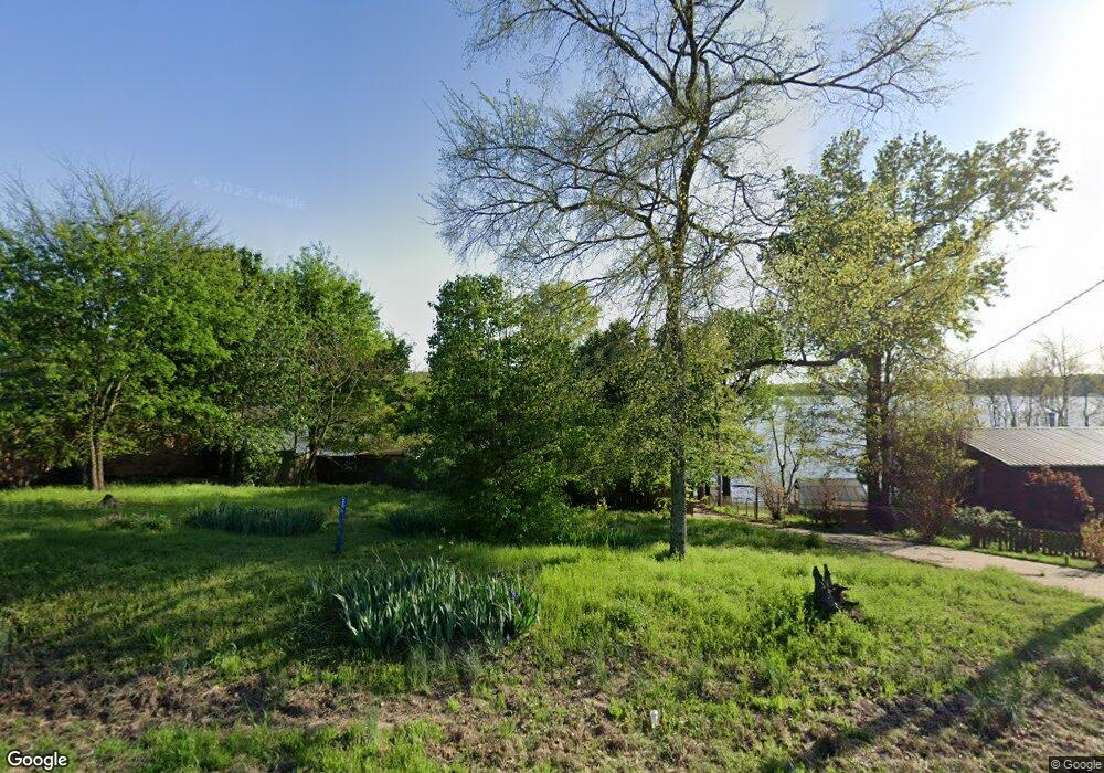
102 Highway 89 S Mayflower, AR 72106
Estimated Value: $162,000 - $234,000
2
Beds
2
Baths
1,236
Sq Ft
$166/Sq Ft
Est. Value
About This Home
This home is located at 102 Highway 89 S, Mayflower, AR 72106 and is currently estimated at $205,240, approximately $166 per square foot. 102 Highway 89 S is a home located in Faulkner County with nearby schools including Mayflower Elementary School, Mayflower Middle School, and Mayflower High School.
Ownership History
Date
Name
Owned For
Owner Type
Purchase Details
Closed on
Sep 9, 2025
Sold by
Selby Ronald Wayne
Bought by
Ronald Wayne Selby Revocable Trust and Selby
Current Estimated Value
Purchase Details
Closed on
Oct 15, 2020
Sold by
Selby Ronald W
Bought by
Selby Ronald W and Bloesch Richard Davis
Purchase Details
Closed on
Aug 2, 2002
Bought by
Phillips
Purchase Details
Closed on
Apr 3, 1996
Bought by
Justice
Create a Home Valuation Report for This Property
The Home Valuation Report is an in-depth analysis detailing your home's value as well as a comparison with similar homes in the area
Home Values in the Area
Average Home Value in this Area
Purchase History
| Date | Buyer | Sale Price | Title Company |
|---|---|---|---|
| Ronald Wayne Selby Revocable Trust | -- | None Listed On Document | |
| Selby Ronald W | -- | None Available | |
| Phillips | $95,000 | -- | |
| Justice | -- | -- |
Source: Public Records
Tax History Compared to Growth
Tax History
| Year | Tax Paid | Tax Assessment Tax Assessment Total Assessment is a certain percentage of the fair market value that is determined by local assessors to be the total taxable value of land and additions on the property. | Land | Improvement |
|---|---|---|---|---|
| 2025 | $1,371 | $44,320 | $4,000 | $40,320 |
| 2024 | $1,319 | $44,320 | $4,000 | $40,320 |
| 2023 | $1,256 | $26,990 | $4,000 | $22,990 |
| 2022 | $891 | $26,990 | $4,000 | $22,990 |
| 2021 | $805 | $26,990 | $4,000 | $22,990 |
| 2020 | $752 | $22,380 | $4,000 | $18,380 |
| 2019 | $752 | $22,380 | $4,000 | $18,380 |
| 2018 | $777 | $22,380 | $4,000 | $18,380 |
| 2017 | $777 | $22,380 | $4,000 | $18,380 |
| 2016 | $777 | $22,380 | $4,000 | $18,380 |
| 2015 | $1,011 | $20,720 | $4,000 | $16,720 |
| 2014 | $1,046 | $26,880 | $4,000 | $22,880 |
Source: Public Records
Map
Nearby Homes
- 102 Hwy 89 S
- 102 Hwy 89 S
- 104 Highway 89 S
- 104 Hwy 89 S
- 0 Highway 89 S Unit 16008558
- 100 Highway 89 S
- 96 Highway 89 S
- 40 Highway 89 S
- 5 Stave Mill Ln
- 108 Highway 89 S
- 8 Stave Mill Ln
- 0 Stave Mill Unit 16007241
- 0 Stave Mill Unit 18003436
- 107 Highway 89 S
- 2 Stave Mill Ln
- 1 Stave Mill Ln
- 1 Stave Mill Ln
- 0 Stave Mill Ln Unit 20028983
- 0 Stave Mill Ln Unit 17031758