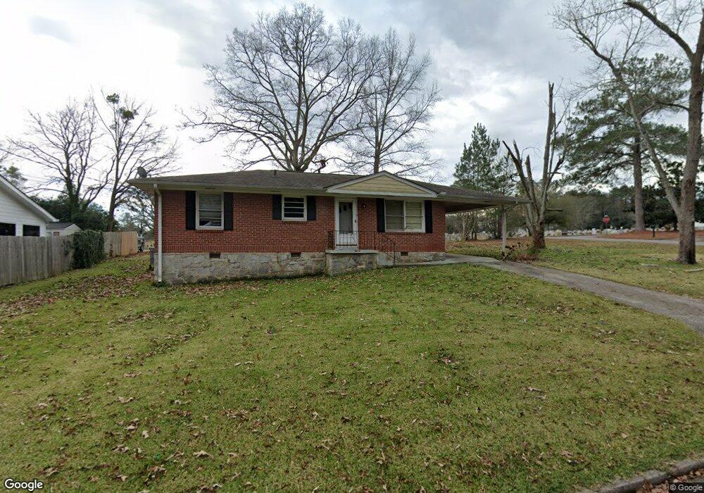
102 Ingleside Dr Jonesboro, GA 30236
Estimated Value: $150,000 - $223,000
3
Beds
1
Bath
1,040
Sq Ft
$166/Sq Ft
Est. Value
About This Home
This home is located at 102 Ingleside Dr, Jonesboro, GA 30236 and is currently estimated at $172,520, approximately $165 per square foot. 102 Ingleside Dr is a home located in Clayton County with nearby schools including James Jackson Elementary School, Jonesboro Middle School, and Jonesboro High School.
Ownership History
Date
Name
Owned For
Owner Type
Purchase Details
Closed on
Aug 13, 2010
Sold by
Hud-Housing Of Urban Dev
Bought by
Miller A R
Current Estimated Value
Purchase Details
Closed on
Apr 6, 2010
Sold by
Wells Fargo Bk Na
Bought by
Hud-Housing Of Urban Dev
Purchase Details
Closed on
Nov 3, 2000
Sold by
Britt Evelyn R
Bought by
Bachelor Matthew and Bachelor Irvin
Home Financials for this Owner
Home Financials are based on the most recent Mortgage that was taken out on this home.
Original Mortgage
$76,860
Interest Rate
7.93%
Mortgage Type
FHA
Create a Home Valuation Report for This Property
The Home Valuation Report is an in-depth analysis detailing your home's value as well as a comparison with similar homes in the area
Home Values in the Area
Average Home Value in this Area
Purchase History
| Date | Buyer | Sale Price | Title Company |
|---|---|---|---|
| Miller A R | -- | -- | |
| Hud-Housing Of Urban Dev | -- | -- | |
| Wells Fargo Bk Na | $80,468 | -- | |
| Bachelor Matthew | $76,900 | -- |
Source: Public Records
Mortgage History
| Date | Status | Borrower | Loan Amount |
|---|---|---|---|
| Previous Owner | Bachelor Matthew | $76,860 |
Source: Public Records
Tax History Compared to Growth
Tax History
| Year | Tax Paid | Tax Assessment Tax Assessment Total Assessment is a certain percentage of the fair market value that is determined by local assessors to be the total taxable value of land and additions on the property. | Land | Improvement |
|---|---|---|---|---|
| 2024 | $1,869 | $47,920 | $7,200 | $40,720 |
| 2023 | $1,384 | $38,320 | $7,200 | $31,120 |
| 2022 | $1,350 | $34,400 | $7,200 | $27,200 |
| 2021 | $1,128 | $28,560 | $7,200 | $21,360 |
| 2020 | $1,050 | $26,262 | $7,200 | $19,062 |
| 2019 | $942 | $23,206 | $6,400 | $16,806 |
| 2018 | $853 | $21,023 | $6,400 | $14,623 |
| 2017 | $722 | $17,734 | $6,400 | $11,334 |
| 2016 | $736 | $18,083 | $6,400 | $11,683 |
| 2015 | $723 | $0 | $0 | $0 |
| 2014 | $920 | $23,119 | $6,400 | $16,719 |
Source: Public Records
Map
Nearby Homes
- 126 Irvin St
- 410 N Mcdonough St
- 408 N Mcdonough St
- 1250 Grove Pkwy
- 2 Woodhaven Dr
- 151 Irvin St
- 1170 5th Ave
- 130 Scarlett Dr
- 9758 Highway 54
- 7986 Scarlett Dr
- 139 North Ave
- 109 Stockbridge Rd
- 135 5th Ave
- 8356 Carlington Ln
- 8391 Carlington Ln
- 8399 Carlington Ln
- 135 N Main St
- 1198 Spur 138
- 181 Dean St
- 1198 Highway 138
- 104 Ingleside Dr
- 0 Woodland Dr Unit 3168286
- S Woodland Dr
- 106 Ingleside Dr
- 107 Woodland Dr
- 108 Woodland Dr
- 106 Woodland Dr
- 108 Ingleside Dr
- 104 Woodland Dr
- 104 Woodland Dr
- 105 Woodland Dr
- 105 Ingleside Dr
- 110 Ingleside Dr
- 102 Woodland Dr
- 124 E Mimosa Dr
- 126 E Mimosa Dr Unit 14
- 112 Ingleside Dr
- 101 Woodland Dr
- 138 Johnson St
- 128 E Mimosa Dr