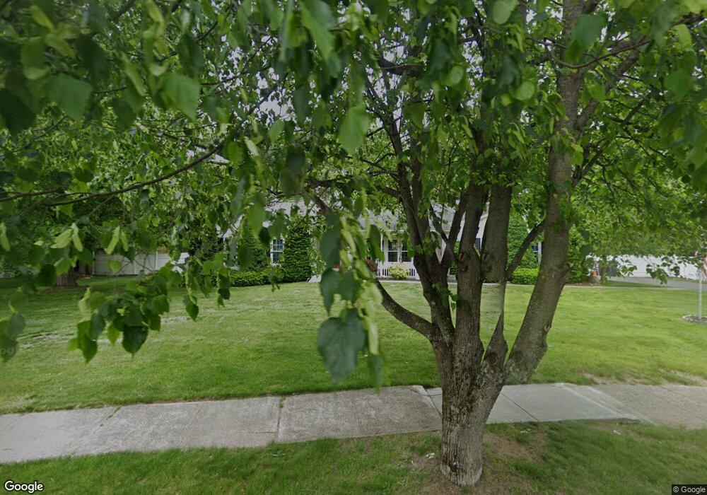
102 Kane Brothers Cir Westfield, MA 01085
Estimated Value: $440,000 - $484,000
2
Beds
2
Baths
1,503
Sq Ft
$309/Sq Ft
Est. Value
About This Home
This home is located at 102 Kane Brothers Cir, Westfield, MA 01085 and is currently estimated at $464,030, approximately $308 per square foot. 102 Kane Brothers Cir is a home located in Hampden County with nearby schools including Westfield High School and Saint Mary High School.
Ownership History
Date
Name
Owned For
Owner Type
Purchase Details
Closed on
May 31, 1994
Sold by
B&M Fitzgerald Bldrs
Bought by
Boisjolie Ann and Boisjolie Dennis
Current Estimated Value
Home Financials for this Owner
Home Financials are based on the most recent Mortgage that was taken out on this home.
Original Mortgage
$129,000
Interest Rate
8.22%
Mortgage Type
Purchase Money Mortgage
Create a Home Valuation Report for This Property
The Home Valuation Report is an in-depth analysis detailing your home's value as well as a comparison with similar homes in the area
Home Values in the Area
Average Home Value in this Area
Purchase History
| Date | Buyer | Sale Price | Title Company |
|---|---|---|---|
| Boisjolie Ann | $129,000 | -- |
Source: Public Records
Mortgage History
| Date | Status | Borrower | Loan Amount |
|---|---|---|---|
| Open | Boisjolie Ann | $119,852 | |
| Closed | Boisjolie Ann | $129,000 |
Source: Public Records
Tax History Compared to Growth
Tax History
| Year | Tax Paid | Tax Assessment Tax Assessment Total Assessment is a certain percentage of the fair market value that is determined by local assessors to be the total taxable value of land and additions on the property. | Land | Improvement |
|---|---|---|---|---|
| 2025 | $6,433 | $423,800 | $146,300 | $277,500 |
| 2024 | $6,557 | $410,600 | $133,100 | $277,500 |
| 2023 | $6,172 | $376,900 | $126,700 | $250,200 |
| 2022 | $6,172 | $333,800 | $113,200 | $220,600 |
| 2021 | $5,974 | $316,400 | $106,400 | $210,000 |
| 2020 | $5,877 | $305,300 | $106,400 | $198,900 |
| 2019 | $5,608 | $285,100 | $101,700 | $183,400 |
| 2018 | $5,520 | $285,100 | $101,700 | $183,400 |
| 2017 | $5,407 | $278,400 | $102,700 | $175,700 |
| 2016 | $5,412 | $278,400 | $102,700 | $175,700 |
| 2015 | $5,238 | $282,500 | $102,700 | $179,800 |
| 2014 | $3,820 | $282,500 | $102,700 | $179,800 |
Source: Public Records
Map
Nearby Homes
- 14 Pinewood Ln
- 70 Yeoman Ave
- 291 Pochassic Rd
- 3 Ellsworth St
- 158 Franklin St
- 13 Furrow St
- 10 Ethan Ave
- 113 Franklin St
- 49 Pochassic St
- 7 Shepard St
- 10 Day Lily Ln
- 226 Notre Dame St
- 9 Montgomery St
- Lot 3 Montgomery
- 52 Orange St
- 28 Orange St
- 324 Russell Rd Unit 204
- 324 Russell Rd Unit 101
- 4 Columbia St
- 28 Union St
- 16 Willow Brook Ln
- 98 Kane Brothers Cir
- 106 Kane Brothers Cir
- 12 Willow Brook Ln
- 99 Kane Brothers Cir
- 24 Willow Brook Ln
- lot 1 Willow Brook Ln
- 92 Kane Brothers Cir
- 28 Willow Brook Ln
- 8 Willow Brook Ln
- 110 Kane Brothers Cir
- 15 Willow Brook Ln
- 89 Kane Brothers Cir
- 111 Kane Brothers Cir
- 19 Willow Brook Ln
- 88 Kane Brothers Cir
- 9 Willow Brook Ln
- 34 Willow Brook Ln
- 9 Kane Brothers Cir
- 21 Kane Brothers Cir