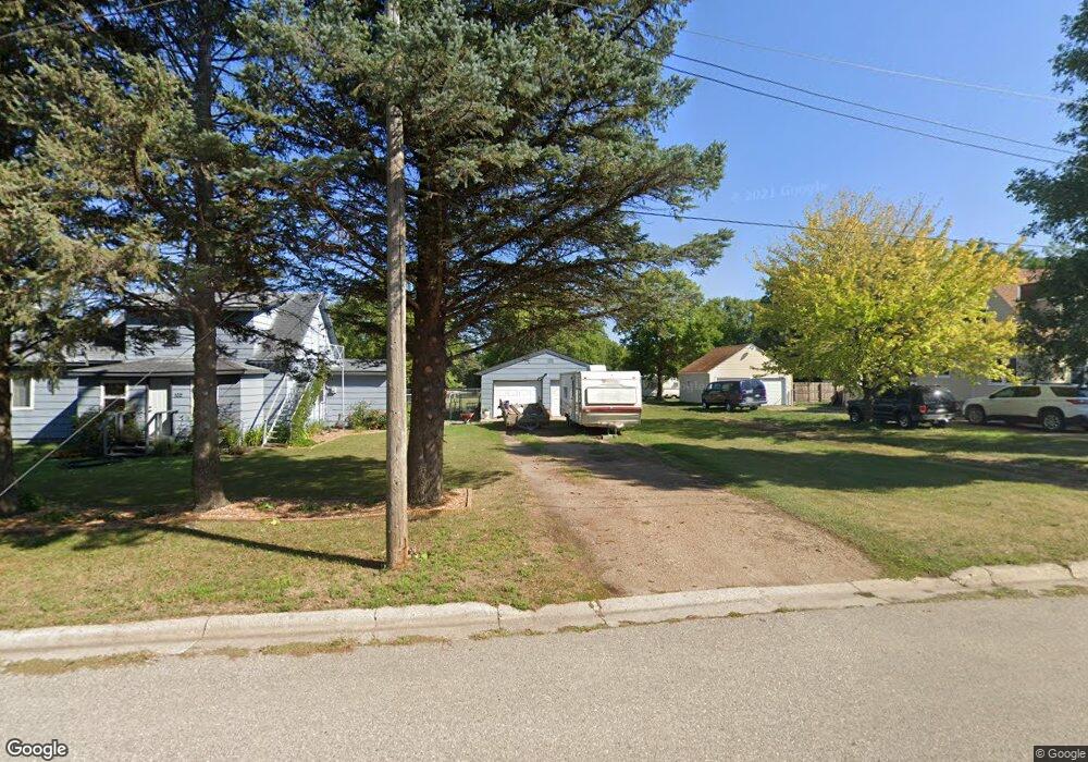
102 Kentucky Ave Hoffman, MN 56339
Estimated Value: $141,000 - $164,000
3
Beds
2
Baths
1,572
Sq Ft
$97/Sq Ft
Est. Value
About This Home
This home is located at 102 Kentucky Ave, Hoffman, MN 56339 and is currently estimated at $153,024, approximately $97 per square foot. 102 Kentucky Ave is a home located in Grant County with nearby schools including West Central Area Secondary School.
Ownership History
Date
Name
Owned For
Owner Type
Purchase Details
Closed on
Dec 21, 2018
Sold by
Hedstrom Brian L and Hedstrom Marie J
Bought by
Jackson Harry
Current Estimated Value
Home Financials for this Owner
Home Financials are based on the most recent Mortgage that was taken out on this home.
Original Mortgage
$49,401
Outstanding Balance
$31,552
Interest Rate
4.9%
Mortgage Type
New Conventional
Estimated Equity
$121,472
Purchase Details
Closed on
Sep 27, 2013
Bought by
Hedstrom Brian L
Home Financials for this Owner
Home Financials are based on the most recent Mortgage that was taken out on this home.
Original Mortgage
$17,300
Interest Rate
4.39%
Purchase Details
Closed on
Sep 26, 2013
Sold by
Mais Mike Mike
Bought by
Hedstrom Brian
Home Financials for this Owner
Home Financials are based on the most recent Mortgage that was taken out on this home.
Original Mortgage
$17,300
Interest Rate
4.39%
Create a Home Valuation Report for This Property
The Home Valuation Report is an in-depth analysis detailing your home's value as well as a comparison with similar homes in the area
Purchase History
| Date | Buyer | Sale Price | Title Company |
|---|---|---|---|
| Jackson Harry | $52,000 | West Ctrl Abstracting Co Inc | |
| Hedstrom Brian L | -- | -- | |
| Hedstrom Brian | $17,300 | -- |
Source: Public Records
Mortgage History
| Date | Status | Borrower | Loan Amount |
|---|---|---|---|
| Open | Jackson Harry | $49,401 | |
| Previous Owner | Hedstrom Brian | $17,300 |
Source: Public Records
Tax History
| Year | Tax Paid | Tax Assessment Tax Assessment Total Assessment is a certain percentage of the fair market value that is determined by local assessors to be the total taxable value of land and additions on the property. | Land | Improvement |
|---|---|---|---|---|
| 2025 | $932 | $121,700 | $15,100 | $106,600 |
| 2024 | $932 | $106,300 | $7,600 | $98,700 |
| 2023 | $1,006 | $108,000 | $7,600 | $100,400 |
| 2022 | $752 | $76,800 | $6,900 | $69,900 |
| 2021 | $776 | $74,700 | $6,900 | $67,800 |
| 2020 | $780 | $71,300 | $6,900 | $64,400 |
| 2019 | $804 | $70,700 | $6,900 | $63,800 |
| 2018 | $956 | $70,300 | $6,900 | $63,400 |
| 2017 | $1,000 | $0 | $0 | $0 |
| 2016 | $970 | $0 | $0 | $0 |
| 2015 | $956 | $0 | $0 | $0 |
| 2014 | -- | $0 | $0 | $0 |
Source: Public Records
Map
Nearby Homes
- 105 Kentucky Ave
- 106 4th St N
- 117 N Memorial Dr
- 108 8th St S
- TBD 1st St N
- 17024 County Road 5
- 5011 County Road 25 SW
- 64.4 acres Westridge Ln SW
- 23146 Red Rock Shores Dr SW
- 000 Red Rock Shores Dr SW
- 3354 Shorewood Dr SW
- 16 Tower St
- 20575 Tower Hill Rd SW
- 701 3rd St
- 205 Front St
- 1115 350th Ave
- 12590 County Road 3
- 4931 Honeysuckle Ln SW
- 12267 Crooked Lake Ln SW
- 16404 440th Ave
Your Personal Tour Guide
Ask me questions while you tour the home.