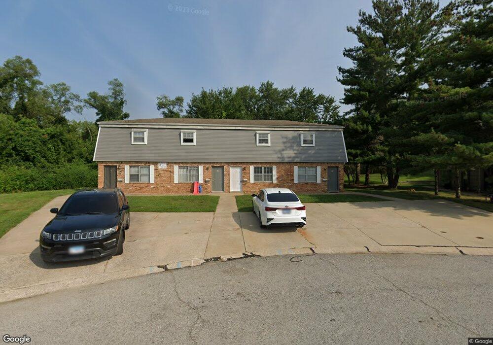
102 King Arthur Ct Collinsville, IL 62234
Estimated Value: $244,000 - $360,000
2
Beds
2
Baths
900
Sq Ft
$330/Sq Ft
Est. Value
About This Home
This home is located at 102 King Arthur Ct, Collinsville, IL 62234 and is currently estimated at $296,723, approximately $329 per square foot. 102 King Arthur Ct is a home located in Madison County with nearby schools including John A Renfro Elementary School, Dorris Intermediate School, and Collinsville Middle School.
Ownership History
Date
Name
Owned For
Owner Type
Purchase Details
Closed on
Oct 27, 2021
Sold by
102 King Arthur Land Trust
Bought by
Dhj Holdings Llc I
Current Estimated Value
Purchase Details
Closed on
Dec 10, 2004
Sold by
Roberson Brian and Roberson Kimberly
Bought by
Hartmann Doug and 102 King Arthur Land Trust
Home Financials for this Owner
Home Financials are based on the most recent Mortgage that was taken out on this home.
Original Mortgage
$126,000
Interest Rate
6.3%
Mortgage Type
Purchase Money Mortgage
Create a Home Valuation Report for This Property
The Home Valuation Report is an in-depth analysis detailing your home's value as well as a comparison with similar homes in the area
Home Values in the Area
Average Home Value in this Area
Purchase History
| Date | Buyer | Sale Price | Title Company |
|---|---|---|---|
| Dhj Holdings Llc I | -- | Abstracts & Titles | |
| Hartmann Doug | $140,000 | Abstracts & Titles Inc |
Source: Public Records
Mortgage History
| Date | Status | Borrower | Loan Amount |
|---|---|---|---|
| Previous Owner | Hartmann Doug | $126,000 |
Source: Public Records
Tax History Compared to Growth
Tax History
| Year | Tax Paid | Tax Assessment Tax Assessment Total Assessment is a certain percentage of the fair market value that is determined by local assessors to be the total taxable value of land and additions on the property. | Land | Improvement |
|---|---|---|---|---|
| 2024 | $4,992 | $78,090 | $17,120 | $60,970 |
| 2023 | $4,992 | $72,280 | $15,850 | $56,430 |
| 2022 | $4,757 | $66,840 | $14,660 | $52,180 |
| 2021 | $4,329 | $62,670 | $13,740 | $48,930 |
| 2020 | $4,173 | $59,790 | $13,110 | $46,680 |
| 2019 | $4,062 | $57,740 | $12,660 | $45,080 |
| 2018 | $3,971 | $54,700 | $12,000 | $42,700 |
| 2017 | $3,816 | $51,440 | $12,610 | $38,830 |
| 2016 | $4,020 | $51,440 | $12,610 | $38,830 |
| 2015 | $3,750 | $50,100 | $12,280 | $37,820 |
| 2014 | $3,750 | $50,100 | $12,280 | $37,820 |
| 2013 | $3,750 | $50,100 | $12,280 | $37,820 |
Source: Public Records
Map
Nearby Homes
- 0 N Keebler Ave
- 10 White Lily Dr
- 625 W Country Ln
- 203 Greenfield Dr
- 2 Chelsea Rd
- 102 Toni Ct
- 414 Bunker Hill Dr
- 1224 Cedar Ridge Ct
- 706 Illinois Ave
- 1120 Williams St
- 22 Brookwood Dr
- 300 Pine Lake Rd Unit 6
- 300 Pine Lake Rd Unit 7
- 1227 Ridge Ave
- 1210 Constance St
- 5 Brookwood Dr
- 308 Brown Ave
- 112 Crestmoor St
- 1002 California Ave
- 54 Oak Leaf Dr
- 102 Alamo Dr
- 100 King Arthur Ct
- 104 King Arthur Ct
- 1980 N Keebler Ave
- 1902 N Keebler Ave
- 104 Alamo Dr
- 100 Alamo Dr
- 103 King Arthur Ct
- 678 Camelot Dr
- 101 Alamo Dr
- 106 King Arthur Ct
- 103 Alamo Dr
- 106 Alamo Dr
- 105 Alamo Dr
- 2006 N Keebler Ave
- 105 King Arthur Ct
- 108 King Arthur Ct
- 108 King Arthur Ct
- 605 Camelot Dr
- 107 Alamo Dr