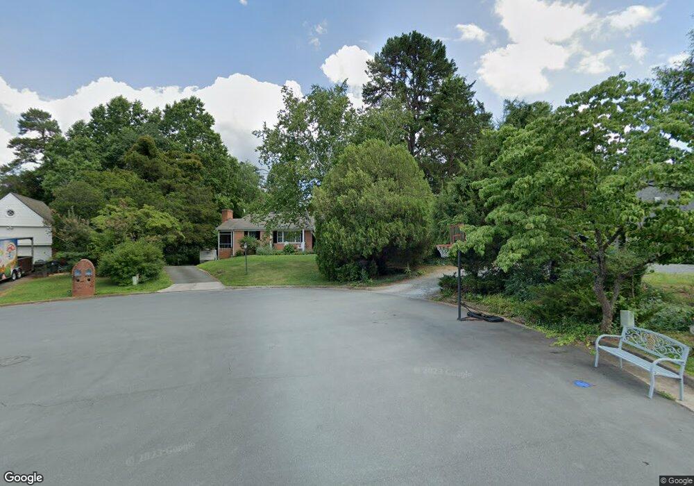
102 Lancaster Ct Charlottesville, VA 22901
Estimated Value: $554,000 - $653,195
5
Beds
3
Baths
3,277
Sq Ft
$187/Sq Ft
Est. Value
About This Home
This home is located at 102 Lancaster Ct, Charlottesville, VA 22901 and is currently estimated at $614,049, approximately $187 per square foot. 102 Lancaster Ct is a home located in Albemarle County with nearby schools including Mary Carr Greer Elementary School, Journey Middle School, and Albemarle High School.
Ownership History
Date
Name
Owned For
Owner Type
Purchase Details
Closed on
Mar 17, 2010
Sold by
Trexler Mary H and Hogan Laura Harris
Bought by
Miller James Harvey and Miller Bethany K
Current Estimated Value
Home Financials for this Owner
Home Financials are based on the most recent Mortgage that was taken out on this home.
Original Mortgage
$244,000
Outstanding Balance
$159,849
Interest Rate
4.75%
Mortgage Type
New Conventional
Estimated Equity
$454,200
Create a Home Valuation Report for This Property
The Home Valuation Report is an in-depth analysis detailing your home's value as well as a comparison with similar homes in the area
Home Values in the Area
Average Home Value in this Area
Purchase History
| Date | Buyer | Sale Price | Title Company |
|---|---|---|---|
| Miller James Harvey | $305,000 | -- |
Source: Public Records
Mortgage History
| Date | Status | Borrower | Loan Amount |
|---|---|---|---|
| Open | Miller James Harvey | $244,000 |
Source: Public Records
Tax History Compared to Growth
Tax History
| Year | Tax Paid | Tax Assessment Tax Assessment Total Assessment is a certain percentage of the fair market value that is determined by local assessors to be the total taxable value of land and additions on the property. | Land | Improvement |
|---|---|---|---|---|
| 2025 | $5,394 | $603,400 | $167,000 | $436,400 |
| 2024 | -- | $533,700 | $157,400 | $376,300 |
| 2023 | $4,836 | $566,300 | $167,000 | $399,300 |
| 2022 | $3,942 | $461,600 | $146,900 | $314,700 |
| 2021 | $3,448 | $403,700 | $133,600 | $270,100 |
| 2020 | $3,348 | $392,000 | $133,600 | $258,400 |
| 2019 | $3,152 | $369,100 | $119,300 | $249,800 |
| 2018 | $2,882 | $346,700 | $119,300 | $227,400 |
| 2017 | $2,854 | $340,200 | $101,100 | $239,100 |
| 2016 | $2,588 | $308,500 | $100,700 | $207,800 |
| 2015 | $1,220 | $297,900 | $100,700 | $197,200 |
| 2014 | -- | $285,500 | $100,700 | $184,800 |
Source: Public Records
Map
Nearby Homes
- 85 Georgetown Rd
- 114 Hessian Hills Ridge Unit 1
- 120 Hessian Hills Ridge Unit 2
- 316 Westminster Rd
- 2535 Lot 25A Barracks Rd
- 2535 Lot 25A Barracks Rd Unit 25-A
- 2405 Angus Rd
- 1000 Huntwood Ln
- 800 Runnel Ct Unit 7
- 800 Runnel Ct Unit 3
- 840 Runnel Ct Unit 10
- 150 N Bennington Rd
- 1895 Westview Rd
- 2301 N Berkshire Rd Unit A and B
- 1715 Solomon Rd
- 500 Crestwood Dr Unit 1204
- 500 Crestwood Dr Unit 2306
- 100 Lancaster Ct
- 2403 Bennington Rd
- 104 Lancaster Ct
- 106 Lancaster Ct
- 2401 Bennington Rd
- 101 Lancaster Ct
- 2402 Bennington Rd
- 2404 Bennington Rd
- 206 Surrey Rd
- 2407 Bennington Rd
- 208 Surrey Rd
- 202 Surrey Rd
- 204 Surrey Rd
- 2406 Bennington Rd
- 2400 Bennington Rd
- 104 Surrey Rd
- 2399 Bennington Rd
- 2317 Barracks Rd
- 2405 Barracks Rd
- 213 Surrey Rd