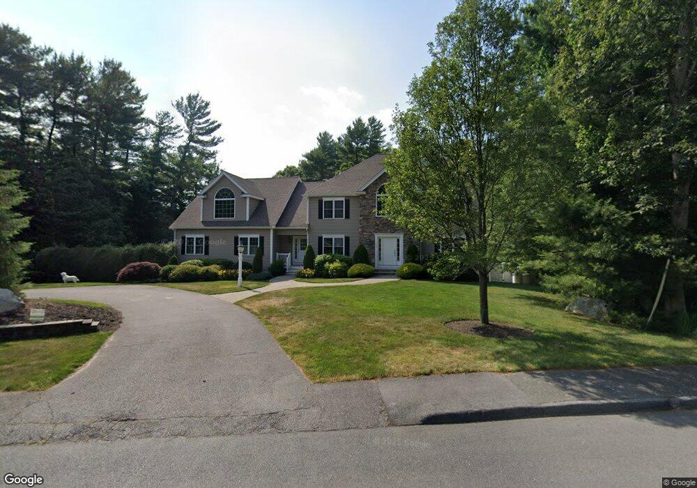
102 Lounsbury Dr Raynham, MA 02767
Estimated Value: $1,091,000 - $1,492,000
3
Beds
4
Baths
4,720
Sq Ft
$262/Sq Ft
Est. Value
About This Home
This home is located at 102 Lounsbury Dr, Raynham, MA 02767 and is currently estimated at $1,238,607, approximately $262 per square foot. 102 Lounsbury Dr is a home with nearby schools including Merrill Elementary School, LaLiberte Elementary School, and Williams Intermediate School.
Ownership History
Date
Name
Owned For
Owner Type
Purchase Details
Closed on
Jun 28, 2013
Sold by
Morse Jennifer G and Gallagher Patricia T
Bought by
Morse Jennifer G
Current Estimated Value
Home Financials for this Owner
Home Financials are based on the most recent Mortgage that was taken out on this home.
Original Mortgage
$50,000
Outstanding Balance
$35,719
Interest Rate
3.51%
Mortgage Type
New Conventional
Estimated Equity
$1,202,888
Purchase Details
Closed on
Dec 4, 2009
Sold by
Jag Rt and Gallagher Michael E
Bought by
Gallagher Jennifer A
Home Financials for this Owner
Home Financials are based on the most recent Mortgage that was taken out on this home.
Original Mortgage
$450,000
Interest Rate
5.01%
Mortgage Type
Purchase Money Mortgage
Create a Home Valuation Report for This Property
The Home Valuation Report is an in-depth analysis detailing your home's value as well as a comparison with similar homes in the area
Home Values in the Area
Average Home Value in this Area
Purchase History
| Date | Buyer | Sale Price | Title Company |
|---|---|---|---|
| Morse Jennifer G | -- | -- | |
| Gallagher Jennifer A | -- | -- |
Source: Public Records
Mortgage History
| Date | Status | Borrower | Loan Amount |
|---|---|---|---|
| Open | Morse Jennifer G | $50,000 | |
| Previous Owner | Gallagher Jennifer A | $450,000 |
Source: Public Records
Tax History Compared to Growth
Tax History
| Year | Tax Paid | Tax Assessment Tax Assessment Total Assessment is a certain percentage of the fair market value that is determined by local assessors to be the total taxable value of land and additions on the property. | Land | Improvement |
|---|---|---|---|---|
| 2025 | $15,124 | $1,249,900 | $222,000 | $1,027,900 |
| 2024 | $14,862 | $1,196,600 | $222,000 | $974,600 |
| 2023 | $13,886 | $1,021,000 | $199,700 | $821,300 |
| 2022 | $13,141 | $886,100 | $181,700 | $704,400 |
| 2021 | $12,987 | $884,100 | $179,700 | $704,400 |
| 2020 | $12,610 | $875,100 | $173,700 | $701,400 |
| 2019 | $12,453 | $875,100 | $173,700 | $701,400 |
| 2018 | $11,957 | $802,500 | $169,700 | $632,800 |
| 2017 | $11,608 | $772,300 | $161,700 | $610,600 |
| 2016 | $10,717 | $715,400 | $156,500 | $558,900 |
| 2015 | $10,205 | $669,600 | $155,400 | $514,200 |
Source: Public Records
Map
Nearby Homes
- 970 N Main St
- 47 Fairbanks Rd
- 1037 N Main St
- 643 Center St
- 2 Maplewood Ln Unit 21-1
- 0 Maplewood Unit 21.3 73426136
- 0 Maplewood Unit 33-1 73420094
- 46 Sylvain St
- 598 Elm St E
- 658 Broadway
- 79 Jennings Dr
- 73 Sherwood Ln
- 109 Broadway
- 38 Elm St E
- 21 Sully Rd
- 1 Maplewood Ln Unit 33-3
- 100 Francine Rd
- 29 Saddle Dr
- 25 Twin Diamond Dr
- 5 New Carver St
- 120 Lounsbury Dr
- 86 Lounsbury Dr
- 125 Lounsbury Dr
- 105 Lounsbury Dr
- 87 Lounsbury Dr
- 70 Lounsbury Dr
- 110 Hewitt Dr
- 71 Lounsbury Dr
- 131 Hewitt Dr
- 94 Hewitt Dr
- 154 Lounsbury Dr
- 54 Lounsbury Dr
- 115 Hewitt Dr
- 55 Lounsbury Dr
- 99 Hewitt Dr
- 170 Lounsbury Dr
- 78 Hewitt Dr
- 171 Lounsbury Dr
- 40 Lounsbury Dr
- 43 Lounsbury Dr