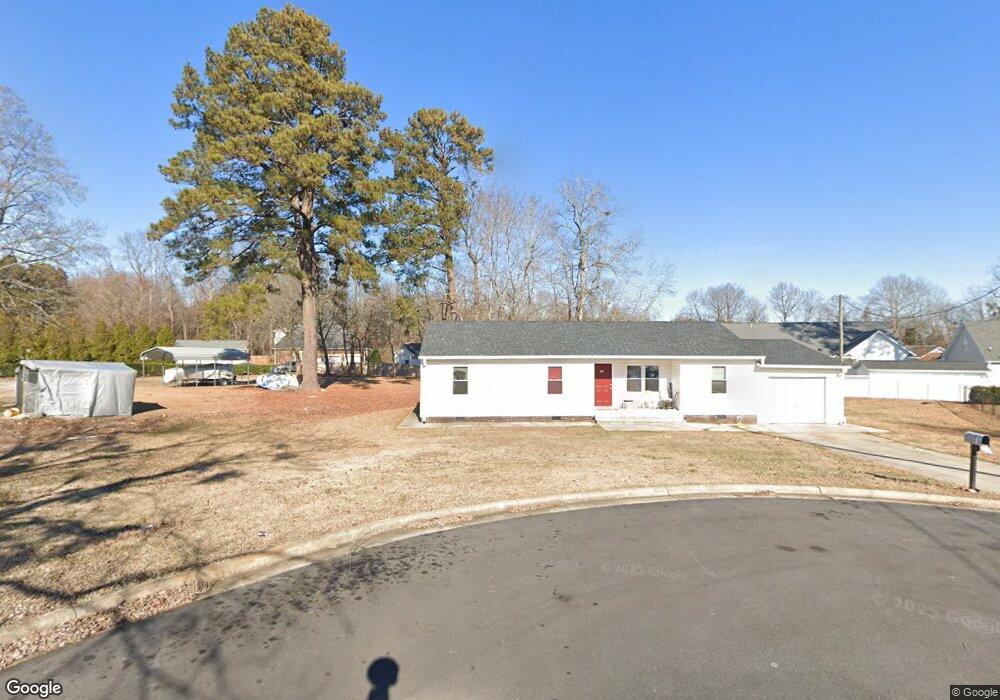
102 Lynnwood Rd Roanoke Rapids, NC 27870
Estimated Value: $106,000 - $155,844
3
Beds
2
Baths
1,211
Sq Ft
$113/Sq Ft
Est. Value
About This Home
This home is located at 102 Lynnwood Rd, Roanoke Rapids, NC 27870 and is currently estimated at $136,711, approximately $112 per square foot. 102 Lynnwood Rd is a home located in Halifax County with nearby schools including Roanoke Rapids High School, Gingerbread House, and Miracle Tabernacle Christian School.
Ownership History
Date
Name
Owned For
Owner Type
Purchase Details
Closed on
Feb 22, 2017
Sold by
Guo Phillip Matthew
Bought by
P & I Enterprise Inc
Current Estimated Value
Purchase Details
Closed on
Mar 21, 2007
Sold by
Tong Wui Man
Bought by
Guo Peter and Guo Irene
Purchase Details
Closed on
May 19, 2005
Sold by
Guo Peter and Guo Irene
Bought by
Tong Wui Man
Create a Home Valuation Report for This Property
The Home Valuation Report is an in-depth analysis detailing your home's value as well as a comparison with similar homes in the area
Home Values in the Area
Average Home Value in this Area
Purchase History
| Date | Buyer | Sale Price | Title Company |
|---|---|---|---|
| P & I Enterprise Inc | $68,000 | None Available | |
| Guo Peter | -- | None Available | |
| Tong Wui Man | -- | None Available |
Source: Public Records
Tax History Compared to Growth
Tax History
| Year | Tax Paid | Tax Assessment Tax Assessment Total Assessment is a certain percentage of the fair market value that is determined by local assessors to be the total taxable value of land and additions on the property. | Land | Improvement |
|---|---|---|---|---|
| 2025 | $17 | $89,700 | $21,500 | $68,200 |
| 2024 | $17 | $89,700 | $21,500 | $68,200 |
| 2023 | $1,581 | $78,000 | $21,500 | $56,500 |
| 2022 | $1,589 | $78,000 | $21,500 | $56,500 |
| 2021 | $1,531 | $78,000 | $21,500 | $56,500 |
| 2020 | $1,531 | $78,000 | $21,500 | $56,500 |
| 2019 | $1,383 | $68,100 | $17,700 | $50,400 |
| 2018 | $1,352 | $68,100 | $17,700 | $50,400 |
| 2017 | $1,345 | $68,100 | $17,700 | $50,400 |
| 2016 | $1,391 | $68,100 | $17,700 | $50,400 |
| 2015 | $1,329 | $68,100 | $17,700 | $50,400 |
| 2014 | $1,396 | $75,920 | $19,150 | $56,770 |
Source: Public Records
Map
Nearby Homes
- LOT 14 Stoney Brook Dr
- 1401 Pruden St
- 0 Chestnut St
- 792 Rivers Edge Pkwy
- 785 Rivers Edge Pkwy
- 783 Rivers Edge Pkwy
- 786 Rivers Edge Pkwy
- 802 Chestnut St
- 784 Rivers Edge Pkwy
- 782 Rivers Edge Pkwy
- 779 Rivers Edge Pkwy
- 1111 E 7th St
- 780 Rivers Edge Pkwy
- 209 Long Cir
- 778 Rivers Edge Pkwy
- 774 Rivers Edge Pkwy
- 1103 E 7th St
- 113 Briarcliff Cir
- 772 Rivers Edge Pkwy
- 1100 E 7th St
- 104 Lynnwood Dr
- 907 Stoneybrook Dr
- 909 Stoneybrook Dr
- 1310 E 9th St
- 911 Stoney Brook Dr
- 911 Stoneybrook Dr
- 1308 E 9th St
- 1308 E 9th St
- 0 Lynnwood Dr
- 1314 E 9th St
- 615 Georgia Ave
- 613 Georgia Ave
- 913 Stoney Brook Dr
- 1320 E 9th St
- 904 Stoney Brook Dr
- 901 Stoneybrook Dr
- 901 Stoney Brook Dr
- 1300 E 9th St
- 902 Stoney Brook Dr
- 902 Stoneybrook Dr