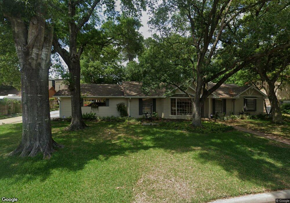
102 Maple St Conroe, TX 77301
Estimated Value: $247,000 - $297,000
3
Beds
2
Baths
2,282
Sq Ft
$119/Sq Ft
Est. Value
About This Home
This home is located at 102 Maple St, Conroe, TX 77301 and is currently estimated at $272,134, approximately $119 per square foot. 102 Maple St is a home located in Montgomery County with nearby schools including Houston Elementary School, Travis Intermediate School, and Peet Junior High School.
Ownership History
Date
Name
Owned For
Owner Type
Purchase Details
Closed on
Jun 2, 2011
Sold by
Phillips Clarence Michael and Phillips Betty Juanell
Bought by
Phillips Clarence Michael and Phillips Betty Juanell
Current Estimated Value
Purchase Details
Closed on
May 13, 2005
Sold by
Taylor Keith A and Taylor Melba P
Bought by
Phillips Clarence M
Purchase Details
Closed on
Mar 31, 2004
Sold by
Chaver Joe and Chaver Ruby
Bought by
Phillips Living Trust
Create a Home Valuation Report for This Property
The Home Valuation Report is an in-depth analysis detailing your home's value as well as a comparison with similar homes in the area
Home Values in the Area
Average Home Value in this Area
Purchase History
| Date | Buyer | Sale Price | Title Company |
|---|---|---|---|
| Phillips Clarence Michael | -- | None Available | |
| Phillips Clarence M | -- | Old Republic Title | |
| Phillips Living Trust | -- | -- |
Source: Public Records
Tax History
| Year | Tax Paid | Tax Assessment Tax Assessment Total Assessment is a certain percentage of the fair market value that is determined by local assessors to be the total taxable value of land and additions on the property. | Land | Improvement |
|---|---|---|---|---|
| 2025 | $821 | $235,950 | -- | -- |
| 2024 | $813 | $214,500 | -- | -- |
| 2023 | $813 | $195,000 | $71,160 | $123,840 |
| 2022 | $4,586 | $221,100 | $71,160 | $184,290 |
| 2021 | $4,394 | $201,000 | $28,460 | $172,540 |
| 2020 | $4,600 | $201,600 | $28,460 | $173,140 |
| 2019 | $4,512 | $193,480 | $7,900 | $185,580 |
| 2018 | $3,133 | $178,400 | $7,900 | $197,640 |
| 2017 | $3,797 | $162,180 | $7,900 | $197,640 |
| 2016 | $3,452 | $147,440 | $7,900 | $156,300 |
| 2015 | $1,784 | $134,040 | $7,900 | $157,590 |
| 2014 | $1,784 | $119,080 | $7,900 | $111,180 |
Source: Public Records
Map
Nearby Homes
- 202 Oak Hollow St
- 1015 Stevens Ave
- 1013 Stevens Ave
- 1005 Callahan Ave
- 1506 King Ranch Rd
- 0 W Semands Ave
- 915 W Lewis St
- 1020 Houston St
- 809 W Semands St
- 412 Waco St
- 1202 N Roberson St
- 417 W Lewis St
- 1620 Odd Fellow St
- TBD Texas 105
- 407 W Semands St
- 0 N Roberson St
- 317 W Lewis St
- 1508 N Roberson St
- 2947 Palominos Way
- 0000 Kimberly Trace
- 100 Maple St
- 108 Maple St
- 107 Maple St
- 1201 Bettes St
- 105 Maple St
- 1203 Bettes St
- 101 Maple St
- 111 Maple St
- 110 Maple St
- 1200 Bettes St
- 1017 Stevens Ave
- 1205 Bettes St
- 206 Oak Hollow St
- 208 Oak Hollow St
- 204 Oak Hollow St
- 113 Maple St
- 210 Oak Hollow St
- 1109 Callahan Ave
- 112 Maple St
- 1016 Stevens Ave
Your Personal Tour Guide
Ask me questions while you tour the home.