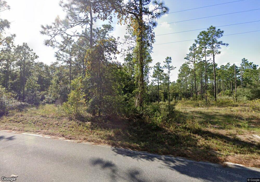
102 Mcarthur Dr Hawthorne, FL 32640
Estimated Value: $28,000 - $338,000
--
Bed
--
Bath
--
Sq Ft
3,920
Sq Ft Lot
About This Home
This home is located at 102 Mcarthur Dr, Hawthorne, FL 32640 and is currently estimated at $156,333. 102 Mcarthur Dr is a home located in Putnam County with nearby schools including Ochwilla Elementary School, C.H. Price Middle School, and Interlachen High School.
Ownership History
Date
Name
Owned For
Owner Type
Purchase Details
Closed on
Feb 24, 2025
Sold by
Wp Re Ventures 1 Llc
Bought by
Peterson April Elaine and Peterson Julius J
Current Estimated Value
Purchase Details
Closed on
May 23, 2023
Sold by
Bestdealland Florida Land Trust
Bought by
Wp Re Ventures 1 Llc
Purchase Details
Closed on
Mar 19, 2009
Sold by
N R L L East Llc
Bought by
Ketha Real Estate Enterprise Llc
Purchase Details
Closed on
Sep 21, 2006
Sold by
Blume Bruce A and Blume Brenda
Bought by
N R L L East Llc
Create a Home Valuation Report for This Property
The Home Valuation Report is an in-depth analysis detailing your home's value as well as a comparison with similar homes in the area
Home Values in the Area
Average Home Value in this Area
Purchase History
| Date | Buyer | Sale Price | Title Company |
|---|---|---|---|
| Peterson April Elaine | $3,788 | None Listed On Document | |
| Peterson April Elaine | $3,788 | None Listed On Document | |
| Wp Re Ventures 1 Llc | $82,600 | None Listed On Document | |
| Ketha Real Estate Enterprise Llc | $43,093 | None Available | |
| N R L L East Llc | $26,000 | Transcontinental Title Co |
Source: Public Records
Tax History Compared to Growth
Tax History
| Year | Tax Paid | Tax Assessment Tax Assessment Total Assessment is a certain percentage of the fair market value that is determined by local assessors to be the total taxable value of land and additions on the property. | Land | Improvement |
|---|---|---|---|---|
| 2024 | $29 | $1,800 | $1,800 | -- |
| 2023 | $29 | $1,800 | $1,800 | $0 |
| 2022 | $17 | $1,080 | $1,080 | $0 |
| 2021 | $18 | $1,080 | $0 | $0 |
| 2020 | $18 | $1,080 | $0 | $0 |
| 2019 | $18 | $1,080 | $1,080 | $0 |
| 2018 | $18 | $1,080 | $1,080 | $0 |
| 2017 | $19 | $1,080 | $1,080 | $0 |
| 2016 | $19 | $1,080 | $0 | $0 |
| 2015 | $19 | $1,080 | $0 | $0 |
| 2014 | $19 | $1,080 | $0 | $0 |
Source: Public Records
Map
Nearby Homes
- 243 Indianapolis St
- 226 Indianapolis St
- 221 Indianapolis St
- 207 Missouri Ave
- 199 Missouri Ave
- 0 Missouri Ave
- 211-215 Missouri Ave
- 156 Missouri Ave
- 368 Rainbow Dr
- 116 Hartford St
- 114 Hartford St
- 256 Portland St
- 218 Portland St
- 103 Missouri Ave
- 105 Wyoming St
- 103 Wyoming St
- 107 Wyoming St
- 0 Unassigned Address Unit 2004537
- 114 Dew Drop Dr
- 114 W Virginia St
- 113 Rainbow Dr
- 159 Adams Ave
- 1220 Baden Powell Rd
- 1219 Baden Powell Rd
- 1218 Baden Powell Rd
- 106 Fillmore St
- 1206 Baden Powell Rd
- 109 Fillmore St
- 000 Filmore Dr
- 128 Monroe Ave
- 115 Monroe Ave
- 126 Monroe Ave
- 122 Monroe Ave
- 134 Monroe Ave
- 1204 Baden Powell Rd
- 132 Monroe Ave
- 0 Maine Ave Unit F10417010
- 0 Oregon St Unit F10416985
- 0 Lunker Dr
- 0 E First Ave Unit F10413961
