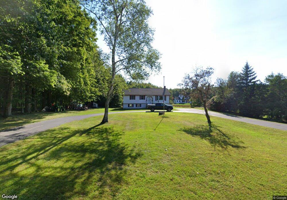
102 Mckenney Rd Saco, ME 04072
North Saco NeighborhoodEstimated Value: $402,000 - $481,000
About This Home
This home is located at 102 Mckenney Rd, Saco, ME 04072 and is currently estimated at $434,109, approximately $395 per square foot. 102 Mckenney Rd is a home located in York County with nearby schools including C K Burns School and Saco Middle School.
Ownership History
We collect this data history from publicly available records. To have your information removed, we recommend requesting removal directly through your county’s website.
Purchase Details
Purchase Details
Home Financials for this Owner
Home Financials are based on the most recent Mortgage that was taken out on this home.Home Values in the Area
Average Home Value in this Area
Purchase History
We collect this data history from publicly available records. To have your information removed, we recommend requesting removal directly through your county’s website.
| Date | Buyer | Sale Price | Title Company |
|---|---|---|---|
| -- | None Available | ||
| -- | -- |
Mortgage History
We collect this data history from publicly available records. To have your information removed, we recommend requesting removal directly through your county’s website.
| Date | Status | Borrower | Loan Amount |
|---|---|---|---|
| Previous Owner | $206,196 |
Tax History
We collect this data history from publicly available records. To have your information removed, we recommend requesting removal directly through your county’s website.
| Year | Tax Paid | Tax Assessment Tax Assessment Total Assessment is a certain percentage of the fair market value that is determined by local assessors to be the total taxable value of land and additions on the property. | Land | Improvement |
|---|---|---|---|---|
| 2025 | $4,557 | $320,900 | $148,100 | $172,800 |
| 2024 | $4,481 | $318,900 | $148,100 | $170,800 |
| 2023 | $4,704 | $318,900 | $148,100 | $170,800 |
| 2022 | $4,251 | $231,900 | $112,800 | $119,100 |
| 2021 | $4,097 | $217,000 | $101,500 | $115,500 |
| 2020 | $3,834 | $194,900 | $89,300 | $105,600 |
| 2019 | $3,777 | $194,900 | $89,300 | $105,600 |
| 2018 | $3,156 | $208,900 | $107,900 | $101,000 |
| 2017 | $3,457 | $204,400 | $100,900 | $103,500 |
| 2016 | $3,564 | $183,500 | $85,900 | $97,600 |
| 2015 | $3,481 | $181,100 | $84,600 | $96,500 |
| 2014 | $3,372 | $181,100 | $84,600 | $96,500 |
| 2013 | $3,365 | $181,100 | $84,600 | $96,500 |
Map
- 7 Memory Ln
- 23 Robert St
- 149 Town Farm Rd
- 461 Buxton Rd
- 334 Broadturn Rd
- 41 Town Farm Rd
- 8 Dirigo Dr
- 70 Beech Plains Rd
- 0 Beech Plains Rd
- 295 Buxton Rd
- 320 Holmes Rd
- 11 Silver Brook Cir
- 69 Old Orchard Rd
- 6 Sugar Woods Way
- 91 C Broadturn Rd
- Lot 8F3-A Lord Rd
- Lot # 8E01 Lord Rd
- Lot 8F3-B Lord Rd
- 430 Narragansett Trail
- 219 Broadturn Rd
Ask me questions while you tour the home.