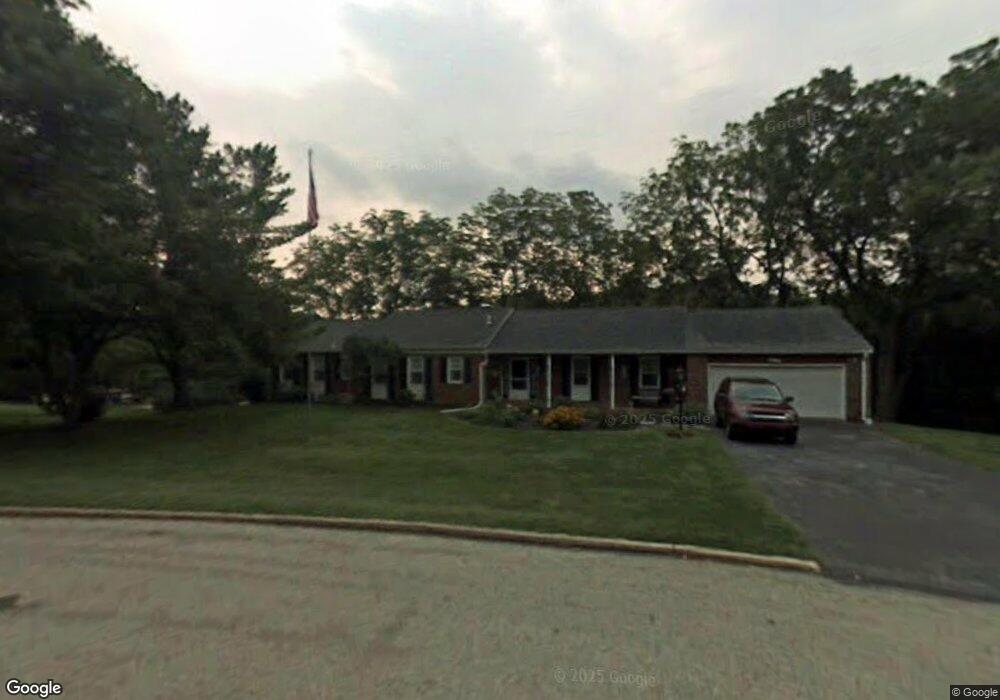
102 Melvin Dr West Chester, PA 19380
Estimated Value: $668,000 - $698,000
3
Beds
3
Baths
2,285
Sq Ft
$300/Sq Ft
Est. Value
About This Home
This home is located at 102 Melvin Dr, West Chester, PA 19380 and is currently estimated at $686,072, approximately $300 per square foot. 102 Melvin Dr is a home located in Chester County with nearby schools including Fern Hill Elementary School, E.N. Peirce Middle School, and Henderson High School.
Ownership History
Date
Name
Owned For
Owner Type
Purchase Details
Closed on
Aug 26, 1998
Sold by
Dolphin John M and Dolphin Elizabeth J
Bought by
White Barry A and White Jill L
Current Estimated Value
Home Financials for this Owner
Home Financials are based on the most recent Mortgage that was taken out on this home.
Original Mortgage
$127,000
Outstanding Balance
$27,129
Interest Rate
6.9%
Estimated Equity
$658,943
Create a Home Valuation Report for This Property
The Home Valuation Report is an in-depth analysis detailing your home's value as well as a comparison with similar homes in the area
Home Values in the Area
Average Home Value in this Area
Purchase History
| Date | Buyer | Sale Price | Title Company |
|---|---|---|---|
| White Barry A | $212,000 | Commonwealth Land Title |
Source: Public Records
Mortgage History
| Date | Status | Borrower | Loan Amount |
|---|---|---|---|
| Open | White Barry A | $127,000 |
Source: Public Records
Tax History Compared to Growth
Tax History
| Year | Tax Paid | Tax Assessment Tax Assessment Total Assessment is a certain percentage of the fair market value that is determined by local assessors to be the total taxable value of land and additions on the property. | Land | Improvement |
|---|---|---|---|---|
| 2025 | $6,287 | $216,870 | $56,680 | $160,190 |
| 2024 | $6,287 | $216,870 | $56,680 | $160,190 |
| 2023 | $6,287 | $216,870 | $56,680 | $160,190 |
| 2022 | $6,205 | $216,870 | $56,680 | $160,190 |
| 2021 | $6,119 | $216,870 | $56,680 | $160,190 |
| 2020 | $6,079 | $216,870 | $56,680 | $160,190 |
| 2019 | $5,995 | $216,870 | $56,680 | $160,190 |
| 2018 | $5,867 | $216,870 | $56,680 | $160,190 |
| 2017 | $5,740 | $216,870 | $56,680 | $160,190 |
| 2016 | $4,702 | $216,870 | $56,680 | $160,190 |
| 2015 | $4,702 | $216,870 | $56,680 | $160,190 |
| 2014 | $4,702 | $216,870 | $56,680 | $160,190 |
Source: Public Records
Map
Nearby Homes
- 112 Crosspointe Dr
- 735 Hillside Dr
- 734 Marshall Dr
- 723 Hillside Dr
- 904 Sylvania Ln
- 2237 Poe Ln
- 530 Legion Dr
- 306 Greenhill Rd
- 1614 Phillips Dr
- 1708 Frost Ln
- 1405 Gorky Ln
- Lot 1 Susan Dr
- 238 E Gay St Unit 2
- 325 W Chestnut St
- 331 Hannum Ave
- 4 Amanda Ln
- 418 Hannum Ave
- 1210 Ashbridge Rd
- 113 E Miner St
- 331 W Gay St
- 100 Melvin Dr
- 200 Melvin Dr
- 974 Frederick Dr
- 101 Melvin Dr
- 973 Frederick Dr
- 128 Crosspointe Dr
- 970 Frederick Dr
- 127 Crosspointe Dr
- 987 Frederick Dr
- 974 Carol Cir
- 126 Crosspointe Dr
- 300 Melvin Dr
- 986 Frederick Dr
- 1101 Judson Dr
- 125 Crosspointe Dr
- 122 Crosspointe Dr
- 118 Caswallen Dr
- 1105 Judson Dr
- 124 Crosspointe Dr
- 973 Carol Cir