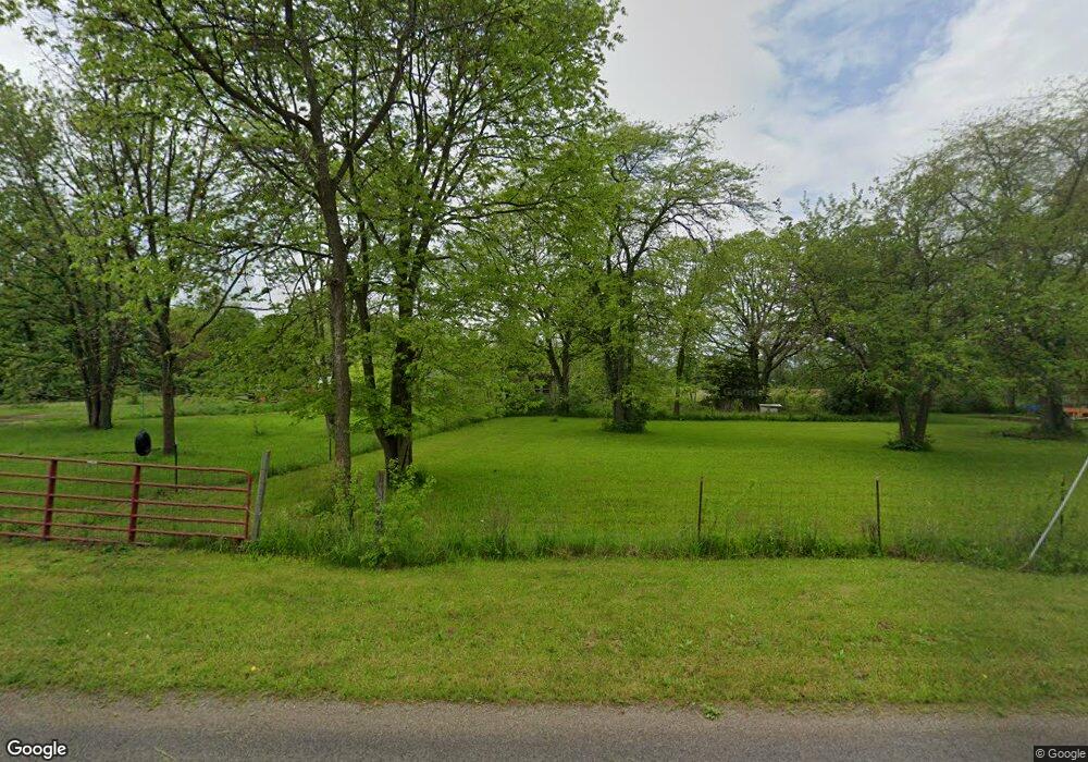
102 Middle Point Wetzel Rd Middle Point, OH 45863
Estimated Value: $35,000 - $110,000
Studio
--
Bath
--
Sq Ft
4.18
Acres Lot
About This Home
This home is located at 102 Middle Point Wetzel Rd, Middle Point, OH 45863 and is currently estimated at $72,500. 102 Middle Point Wetzel Rd is a home located in Van Wert County with nearby schools including Lincolnview Elementary School and Lincolnview Junior/Senior High School.
Ownership History
Date
Name
Owned For
Owner Type
Purchase Details
Closed on
Oct 14, 2025
Sold by
Preston Kelsie Marisa
Bought by
Osting Eric
Current Estimated Value
Purchase Details
Closed on
Oct 7, 2016
Sold by
Brown Diane A and Girardot Kurt
Bought by
Preston Kelsie Marisa
Home Financials for this Owner
Home Financials are based on the most recent Mortgage that was taken out on this home.
Original Mortgage
$26,299
Interest Rate
3.43%
Mortgage Type
Future Advance Clause Open End Mortgage
Purchase Details
Closed on
Feb 27, 2009
Sold by
Menke Tamara K and Menke Michael J
Bought by
Girardot Diane A
Create a Home Valuation Report for This Property
The Home Valuation Report is an in-depth analysis detailing your home's value as well as a comparison with similar homes in the area
Purchase History
We collect this data history from publicly available records. To have your information removed, we recommend requesting removal directly through your county’s website.
| Date | Buyer | Sale Price | Title Company |
|---|---|---|---|
| Osting Eric | $35,025 | None Listed On Document | |
| Preston Kelsie Marisa | $26,000 | Attorney | |
| Girardot Diane A | $3,800 | Attorney |
Source: Public Records
Mortgage History
We collect this data history from publicly available records. To have your information removed, we recommend requesting removal directly through your county’s website.
| Date | Status | Borrower | Loan Amount |
|---|---|---|---|
| Previous Owner | Preston Kelsie Marisa | $26,299 |
Source: Public Records
Tax History
| Year | Tax Paid | Tax Assessment Tax Assessment Total Assessment is a certain percentage of the fair market value that is determined by local assessors to be the total taxable value of land and additions on the property. | Land | Improvement |
|---|---|---|---|---|
| 2025 | $256 | $7,740 | $7,740 | $0 |
| 2024 | $256 | $7,740 | $7,740 | $0 |
| 2023 | $254 | $7,740 | $7,740 | $0 |
| 2022 | $266 | $5,950 | $5,950 | $0 |
| 2021 | $267 | $5,950 | $5,950 | $0 |
| 2020 | $267 | $5,950 | $5,950 | $0 |
| 2019 | $221 | $5,250 | $5,250 | $0 |
| 2018 | $219 | $5,250 | $5,250 | $0 |
| 2017 | $208 | $5,250 | $5,250 | $0 |
| 2016 | $197 | $5,250 | $5,250 | $0 |
| 2015 | $194 | $5,250 | $5,250 | $0 |
| 2014 | $214 | $5,600 | $5,250 | $350 |
| 2013 | $253 | $5,600 | $5,250 | $350 |
Source: Public Records
Map
Nearby Homes
- 110 Middle Point Wetzel Rd
- 301 E Bellis Rd
- 19645 Middlepoint Rd
- 311 E Bellis Rd
- 522 E Jackson St
- 510 E Jackson St
- 517 E Jackson St
- 519 E Jackson St
- 507 E Jackson St
- 521 E Jackson St
- 201 N Hamilton St
- 202 N Hamilton St
- 105 Mill St
- 513 E Jackson St
- 101 Mill St
- 19808 Middle Point Rd
- 111 Mill St
- 10103 Middle Point Wetzel Rd
- 206 N Hamilton St
- 401 E Jackson St
Your Personal Tour Guide
Ask me questions while you tour the home.