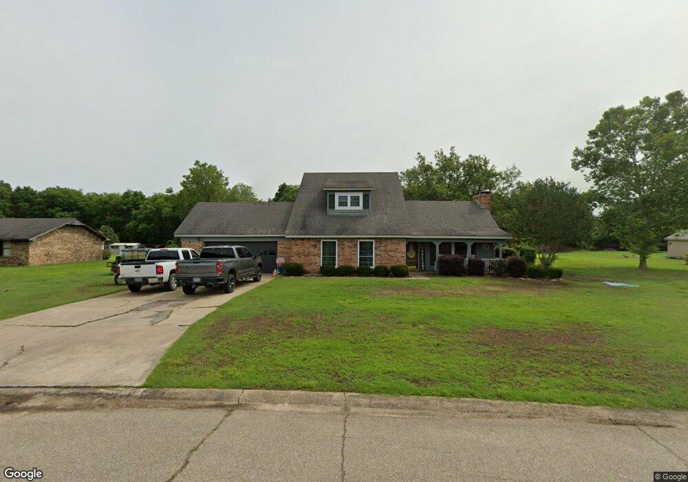
102 Moss Dr Watson, AR 71674
Estimated Value: $69,000 - $105,000
--
Bed
--
Bath
800
Sq Ft
$109/Sq Ft
Est. Value
About This Home
This home is located at 102 Moss Dr, Watson, AR 71674 and is currently estimated at $87,000, approximately $108 per square foot. 102 Moss Dr is a home with nearby schools including McGehee Elementary School, Conner Middle School, and McGehee High School.
Ownership History
Date
Name
Owned For
Owner Type
Purchase Details
Closed on
Jun 11, 2025
Sold by
Eccl Investments Llc
Bought by
H & H Rental Properties Of Winnfield Inc
Current Estimated Value
Purchase Details
Closed on
Jan 31, 2024
Sold by
Eccl Investments Llc
Bought by
Winchester Camp Llc
Purchase Details
Closed on
Dec 22, 2015
Sold by
Wilson Danny C and Wilson Theta C
Bought by
Wilson Danny C and Wilson Theta C
Purchase Details
Closed on
Aug 26, 1986
Bought by
Hundley
Purchase Details
Closed on
Oct 23, 1985
Bought by
Loyd
Purchase Details
Closed on
Feb 6, 1969
Bought by
Thomas
Create a Home Valuation Report for This Property
The Home Valuation Report is an in-depth analysis detailing your home's value as well as a comparison with similar homes in the area
Home Values in the Area
Average Home Value in this Area
Purchase History
| Date | Buyer | Sale Price | Title Company |
|---|---|---|---|
| H & H Rental Properties Of Winnfield Inc | $1,850,157 | None Listed On Document | |
| Winchester Camp Llc | $8,322,925 | None Listed On Document | |
| Wilson Danny C | -- | Attorney | |
| Hundley | $20,000 | -- | |
| Loyd | -- | -- | |
| Thomas | -- | -- | |
| Thomas | $3,000 | -- |
Source: Public Records
Tax History Compared to Growth
Tax History
| Year | Tax Paid | Tax Assessment Tax Assessment Total Assessment is a certain percentage of the fair market value that is determined by local assessors to be the total taxable value of land and additions on the property. | Land | Improvement |
|---|---|---|---|---|
| 2025 | $235 | $4,800 | $940 | $3,860 |
| 2024 | $235 | $4,800 | $940 | $3,860 |
| 2023 | $235 | $4,800 | $940 | $3,860 |
| 2022 | $238 | $4,800 | $940 | $3,860 |
| 2021 | $230 | $4,630 | $720 | $3,910 |
| 2020 | $230 | $4,630 | $720 | $3,910 |
| 2019 | $230 | $4,630 | $720 | $3,910 |
| 2018 | $228 | $4,630 | $720 | $3,910 |
| 2017 | $209 | $4,630 | $720 | $3,910 |
| 2015 | -- | $3,760 | $790 | $2,970 |
| 2014 | -- | $3,760 | $790 | $2,970 |
| 2013 | -- | $3,760 | $790 | $2,970 |
Source: Public Records
Map
Nearby Homes
- Pearson Rd
- 39 Greenwood Miller Rd
- 2 Greenwood Miller Rd
- Lot 17 President St
- 100 Janoush Landing
- 203 Scott St
- Brown St
- 0 Bolivar Rd
- 300 Elizabeth St
- 111 Deer Creek Dr
- 501 E Preston St
- Terrene Landing Rd
- Terrene Landing Rd
- Terrene Landing Rd
- 209 Sherwood St
- Lot 2 Cypress Gardens
- 22 Orlando Dr
- 1108 N 2nd St
- 6 Paul St
- 0 Malvina Rd