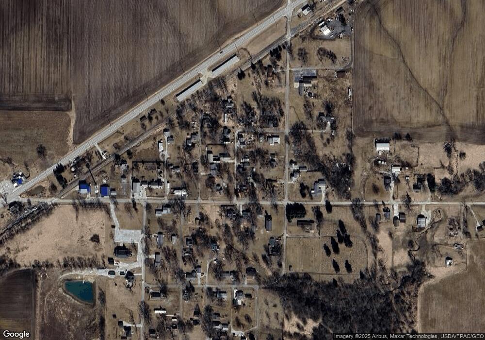
102 N Baxter St Bryant, IL 61519
Estimated Value: $16,000 - $175,000
Studio
--
Bath
--
Sq Ft
0.43
Acres
About This Home
This home is located at 102 N Baxter St, Bryant, IL 61519 and is currently estimated at $106,117. 102 N Baxter St is a home with nearby schools including Central Elementary School, Lewistown Elementary School, and Lewistown Junior/Senior High School.
Ownership History
Date
Name
Owned For
Owner Type
Purchase Details
Closed on
Apr 30, 2015
Sold by
Grove Charles O and Grove Lori A
Bought by
Hough Brandy
Current Estimated Value
Home Financials for this Owner
Home Financials are based on the most recent Mortgage that was taken out on this home.
Original Mortgage
$51,020
Outstanding Balance
$39,432
Interest Rate
3.77%
Mortgage Type
New Conventional
Estimated Equity
$66,685
Create a Home Valuation Report for This Property
The Home Valuation Report is an in-depth analysis detailing your home's value as well as a comparison with similar homes in the area
Purchase History
| Date | Buyer | Sale Price | Title Company |
|---|---|---|---|
| Hough Brandy | $50,100 | -- |
Source: Public Records
Mortgage History
| Date | Status | Borrower | Loan Amount |
|---|---|---|---|
| Open | Hough Brandy | $51,020 |
Source: Public Records
Tax History
| Year | Tax Paid | Tax Assessment Tax Assessment Total Assessment is a certain percentage of the fair market value that is determined by local assessors to be the total taxable value of land and additions on the property. | Land | Improvement |
|---|---|---|---|---|
| 2024 | $1,021 | $18,500 | $1,320 | $17,180 |
| 2023 | $1,021 | $17,700 | $1,260 | $16,440 |
| 2022 | $919 | $17,700 | $1,260 | $16,440 |
| 2021 | $778 | $15,210 | $1,260 | $13,950 |
| 2020 | $752 | $14,710 | $1,220 | $13,490 |
| 2019 | $784 | $14,950 | $1,240 | $13,710 |
| 2018 | $740 | $14,670 | $1,220 | $13,450 |
| 2017 | $1,228 | $14,670 | $1,220 | $13,450 |
| 2016 | $704 | $14,170 | $1,180 | $12,990 |
| 2015 | $1,229 | $14,170 | $1,180 | $12,990 |
| 2013 | -- | $13,810 | $1,150 | $12,660 |
| 2012 | -- | $13,470 | $1,120 | $12,350 |
Source: Public Records
Map
Nearby Homes
- 15972 N Ridge Rd
- 16853 N Wright Rd
- 601 Grand Ave
- 601 Lincoln St
- 106 Lone Pine
- 20984 E New Bridge Rd
- 14953 E Grain Bin Rd
- 23611 County Highway 22
- 16279 E Cherokee Rd
- 15784 N Cheyenne Dr
- 18730 Illinois 97
- 217 S 9th St
- 1320 N Broadway St
- 21904 U S 24
- 916 E Jackson St
- 1428 N Main St
- 643 E Polk St
- 21401 Highway 97
- 222 E Patton Ave
- 403 N 3rd St
- 104 N Howarth St
- 103 N Baxter St
- 501 E Main St
- 403 E Main St Unit 1
- 403 E Main St
- 106 N Baxter St
- 105 N Baxter St
- 107 N Curless St
- 507 E Main St
- 105 N Stanley St
- 501 E First St
- 500 E Main St
- 109 N Howarth St
- 107 N Baxter St
- 503 E First St
- 502 E Main St
- 107 N Stanley St
- 504 E Main St
- 110 N Howarth St
- 102 N Curless St
