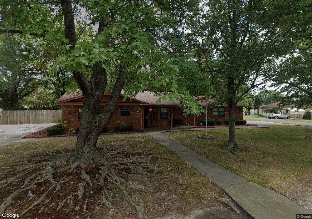
102 N T St Muskogee, OK 74403
Central Muskogee NeighborhoodEstimated Value: $192,780 - $214,000
3
Beds
2
Baths
2,572
Sq Ft
$78/Sq Ft
Est. Value
About This Home
This home is located at 102 N T St, Muskogee, OK 74403 and is currently estimated at $201,195, approximately $78 per square foot. 102 N T St is a home located in Muskogee County with nearby schools including Whittier Elementary School, 8th & 9th Grade Academy @ Alice Robertson, and Muskogee High School.
Ownership History
Date
Name
Owned For
Owner Type
Purchase Details
Closed on
Apr 19, 2006
Sold by
Muskogee Association For Retarded Citize
Bought by
Blus Brentd and Blus Dawn N
Current Estimated Value
Home Financials for this Owner
Home Financials are based on the most recent Mortgage that was taken out on this home.
Original Mortgage
$88,761
Outstanding Balance
$50,890
Interest Rate
6.32%
Mortgage Type
FHA
Estimated Equity
$150,305
Purchase Details
Closed on
Jul 1, 1987
Purchase Details
Closed on
May 1, 1986
Create a Home Valuation Report for This Property
The Home Valuation Report is an in-depth analysis detailing your home's value as well as a comparison with similar homes in the area
Home Values in the Area
Average Home Value in this Area
Purchase History
| Date | Buyer | Sale Price | Title Company |
|---|---|---|---|
| Blus Brentd | $89,500 | None Available | |
| -- | $60,000 | -- | |
| -- | $40,000 | -- |
Source: Public Records
Mortgage History
| Date | Status | Borrower | Loan Amount |
|---|---|---|---|
| Open | Blus Brentd | $88,761 |
Source: Public Records
Tax History Compared to Growth
Tax History
| Year | Tax Paid | Tax Assessment Tax Assessment Total Assessment is a certain percentage of the fair market value that is determined by local assessors to be the total taxable value of land and additions on the property. | Land | Improvement |
|---|---|---|---|---|
| 2024 | $1,404 | $12,890 | $819 | $12,071 |
| 2023 | $1,404 | $12,890 | $788 | $12,102 |
| 2022 | $1,165 | $12,276 | $724 | $11,552 |
| 2021 | $1,115 | $11,135 | $605 | $10,530 |
| 2020 | $1,116 | $11,135 | $605 | $10,530 |
| 2019 | $1,108 | $11,136 | $605 | $10,531 |
| 2018 | $1,085 | $11,136 | $605 | $10,531 |
| 2017 | $1,015 | $10,771 | $605 | $10,166 |
| 2016 | $977 | $10,258 | $605 | $9,653 |
| 2015 | $968 | $10,258 | $605 | $9,653 |
| 2014 | $986 | $10,258 | $605 | $9,653 |
Source: Public Records
Map
Nearby Homes
- 1809 Delaware St
- 1809 Callahan St
- 1615 Baltimore Ave
- 1611 Baltimore St
- 1501 E Okmulgee St
- 1503 Callahan St
- 109 S Camden Place
- 1518 Baltimore St
- 201 S Camden St
- 301 S P St
- 1901 Sallie St
- 1412 Baltimore Ave
- 307 Fredonia St
- 1406 Callahan St
- 1322 Baltimore Ave
- 215 N Edmond St
- 312 Drexel Place
- 123 N M St
- 700 N York St
- 0 Choctaw St
- 1918 Delaware St
- 1903 Delaware St
- 1901 Delaware St
- 1920 Delaware St
- 1919 Delaware St
- 1921 Delaware St
- 1813 Delaware St
- 1815 Delaware St
- 1906 Chandler Rd
- 201 N Utah St
- 1900 Chandler Rd
- 2100 Delaware St
- 2102 Delaware St
- 205 N Utah St
- 2102 Chandler Rd
- 2105 Delaware St
- 2110 Delaware St
- 1805 Delaware St
- 1806 Chandler Rd
- 2008 E Okmulgee Ave