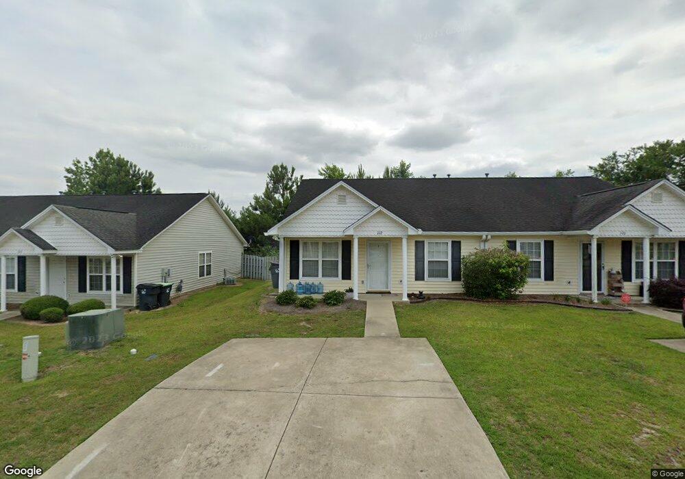
102 Palm Ct Lexington, SC 29072
Estimated Value: $187,000 - $198,000
2
Beds
2
Baths
1,040
Sq Ft
$185/Sq Ft
Est. Value
About This Home
This home is located at 102 Palm Ct, Lexington, SC 29072 and is currently estimated at $192,253, approximately $184 per square foot. 102 Palm Ct is a home located in Lexington County with nearby schools including New Providence Elementary School, Beechwood Middle School, and Lexington High School.
Ownership History
Date
Name
Owned For
Owner Type
Purchase Details
Closed on
Sep 13, 2018
Sold by
Watts Stephen A and Watts Emily R
Bought by
102 Palm Court Rental Llc
Current Estimated Value
Home Financials for this Owner
Home Financials are based on the most recent Mortgage that was taken out on this home.
Original Mortgage
$60,000
Interest Rate
4.5%
Mortgage Type
New Conventional
Purchase Details
Closed on
Aug 17, 2018
Sold by
Roof Harold and Estate Of Carolyn Roof
Bought by
Watts Stephen A and Watts Emily R
Home Financials for this Owner
Home Financials are based on the most recent Mortgage that was taken out on this home.
Original Mortgage
$60,000
Interest Rate
4.5%
Mortgage Type
New Conventional
Create a Home Valuation Report for This Property
The Home Valuation Report is an in-depth analysis detailing your home's value as well as a comparison with similar homes in the area
Home Values in the Area
Average Home Value in this Area
Purchase History
| Date | Buyer | Sale Price | Title Company |
|---|---|---|---|
| 102 Palm Court Rental Llc | -- | None Available | |
| Watts Stephen A | $75,000 | None Available |
Source: Public Records
Mortgage History
| Date | Status | Borrower | Loan Amount |
|---|---|---|---|
| Previous Owner | Watts Stephen A | $60,000 |
Source: Public Records
Tax History Compared to Growth
Tax History
| Year | Tax Paid | Tax Assessment Tax Assessment Total Assessment is a certain percentage of the fair market value that is determined by local assessors to be the total taxable value of land and additions on the property. | Land | Improvement |
|---|---|---|---|---|
| 2024 | $3,131 | $6,003 | $1,451 | $4,552 |
| 2023 | $3,131 | $6,003 | $1,451 | $4,552 |
| 2022 | $3,017 | $6,003 | $1,451 | $4,552 |
| 2020 | $3,034 | $6,003 | $1,451 | $4,552 |
| 2019 | $2,767 | $5,220 | $1,200 | $4,020 |
| 2018 | $112 | $3,157 | $600 | $2,557 |
| 2017 | $103 | $3,157 | $600 | $2,557 |
| 2016 | $111 | $3,157 | $600 | $2,557 |
| 2014 | $196 | $3,681 | $924 | $2,757 |
| 2013 | -- | $3,680 | $920 | $2,760 |
Source: Public Records
Map
Nearby Homes
- 143 Torreyglen Dr
- 108 Westbrook Way
- 217 Faskin Ln
- 0 Brookhill St E
- 212 Brookhill W
- 208 Brookhill W
- 580 Rose Sharon Dr
- 119 Waverly Point Dr
- 105 Saks Ave
- 157 Autumn Stroll Ct
- 334 Buckthorne Dr
- 101 Bennock Mill Ct
- 227 Super Dr
- 213 Dove Chase Trail
- 212 Buckthorne Dr
- 120 Bennock Mill Ct
- 125 Misty Dew Ln
- 409 Craftsman Ct
- 247 Clearbrook Cir
- 100 Waverly Dr