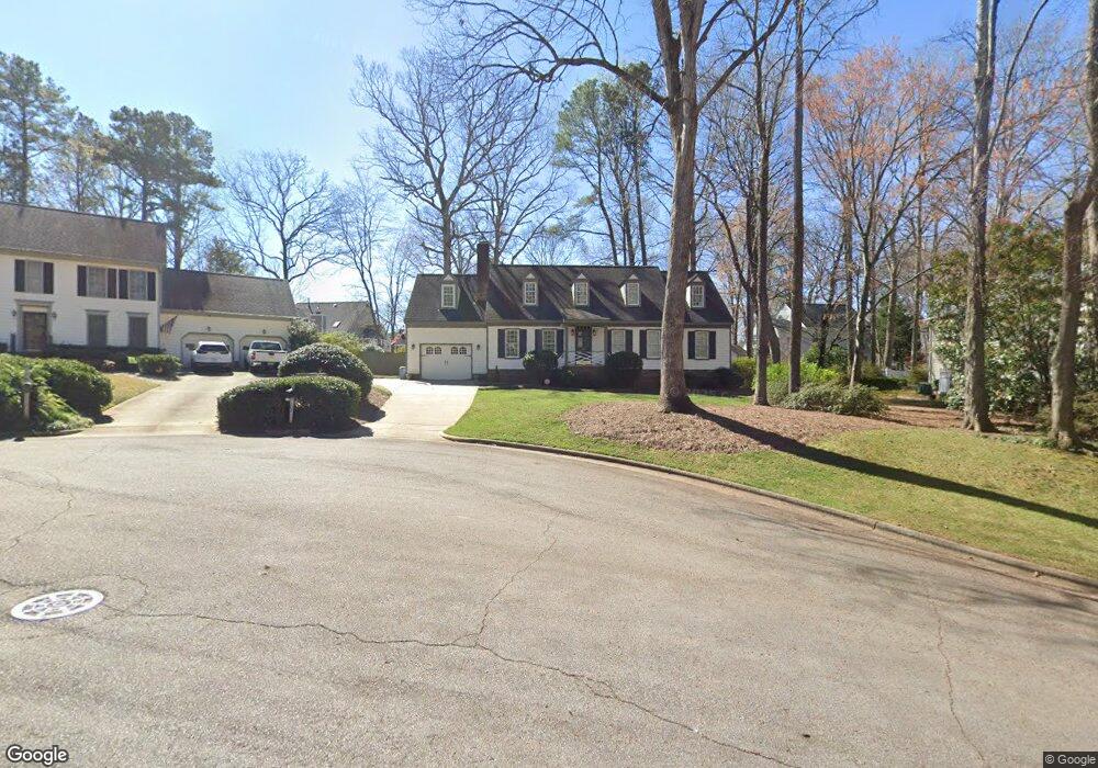
102 Parsons Ln Cary, NC 27511
South Cary NeighborhoodEstimated Value: $584,432 - $670,000
--
Bed
2
Baths
2,333
Sq Ft
$269/Sq Ft
Est. Value
About This Home
This home is located at 102 Parsons Ln, Cary, NC 27511 and is currently estimated at $626,608, approximately $268 per square foot. 102 Parsons Ln is a home located in Wake County with nearby schools including Briarcliff Elementary School, East Cary Middle School, and Cary High School.
Ownership History
Date
Name
Owned For
Owner Type
Purchase Details
Closed on
May 19, 2022
Sold by
Allen Richard Terry and Al Beverly
Bought by
Allen Living Trust
Current Estimated Value
Purchase Details
Closed on
Apr 3, 2009
Sold by
Allen Richard Terry and Allen Beverly H
Bought by
Allen Richard Terry and Allen Beverly Hayes
Purchase Details
Closed on
Oct 3, 1986
Bought by
Richard Terry Allen and Beverly Hayes
Create a Home Valuation Report for This Property
The Home Valuation Report is an in-depth analysis detailing your home's value as well as a comparison with similar homes in the area
Home Values in the Area
Average Home Value in this Area
Purchase History
| Date | Buyer | Sale Price | Title Company |
|---|---|---|---|
| Allen Living Trust | -- | None Listed On Document | |
| Allen Richard Terry | -- | None Available | |
| Richard Terry Allen | $12,000 | -- |
Source: Public Records
Tax History Compared to Growth
Tax History
| Year | Tax Paid | Tax Assessment Tax Assessment Total Assessment is a certain percentage of the fair market value that is determined by local assessors to be the total taxable value of land and additions on the property. | Land | Improvement |
|---|---|---|---|---|
| 2025 | $4,515 | $524,388 | $170,000 | $354,388 |
| 2024 | $4,417 | $524,388 | $170,000 | $354,388 |
| 2023 | $3,797 | $376,916 | $125,000 | $251,916 |
| 2022 | $3,655 | $376,916 | $125,000 | $251,916 |
| 2021 | $3,582 | $376,916 | $125,000 | $251,916 |
| 2020 | $3,601 | $376,916 | $125,000 | $251,916 |
| 2019 | $3,363 | $312,237 | $95,000 | $217,237 |
| 2018 | $0 | $288,678 | $95,000 | $193,678 |
| 2017 | $2,806 | $288,678 | $95,000 | $193,678 |
| 2016 | $2,764 | $288,678 | $95,000 | $193,678 |
| 2015 | $2,962 | $298,793 | $102,000 | $196,793 |
| 2014 | -- | $298,793 | $102,000 | $196,793 |
Source: Public Records
Map
Nearby Homes
- 108 Ridgepath Way
- 101 Kramer Ct
- 311 Dunhagan Place
- 102 Shriver Ct
- 301 Dunhagan Place
- 103 Shriver Ct
- 102 Coventry Ln
- 119 Hanover Place
- 1404 Rock Creek Ln
- 100 Moray Ct
- 512 Spring Flower Ct
- 1510 Kildaire Farm Rd
- 1640 Glengarry Dr
- 305 Springhurst Ln
- 4311 Wellington Ridge Loop
- 112 Queensferry Rd
- 408 Brookcliff Ln
- 130 Castlewood Dr
- 1641 Kildonan Place
- 512 New Kent Place Unit 512
- 102 Ridgepath Way
- 302 Coorsdale Dr
- 104 Parsons Ln
- 304 Coorsdale Dr
- 300 Coorsdale Dr
- 105 Parsons Ln
- 104 Ridgepath Way
- 103 Parsons Ln
- 107 Ridgepath Way
- 105 Ridgepath Way
- 303 Coorsdale Dr
- 109 Ridgepath Way
- 103 Ridgepath Way
- 301 Coorsdale Dr
- 305 Coorsdale Dr
- 101 Ridgepath Way
- 111 Ridgepath Way
- 210 Coorsdale Dr
- 104 Borotra Ct
- 311 Heidinger Dr