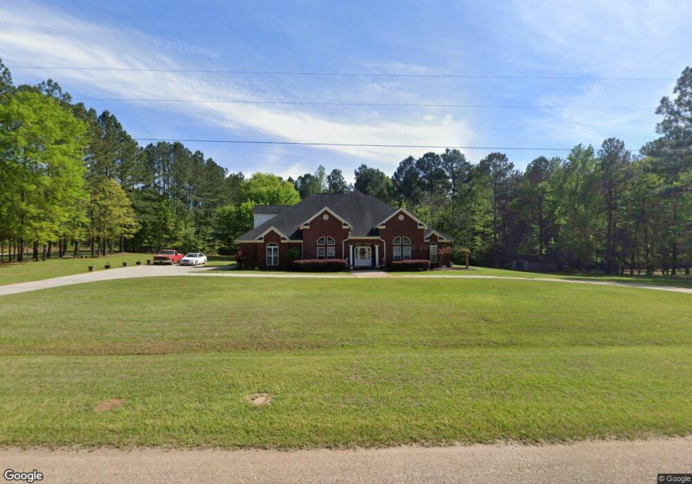
102 Perdue Rd Barnesville, GA 30204
Estimated Value: $547,000 - $585,274
3
Beds
2
Baths
4,106
Sq Ft
$138/Sq Ft
Est. Value
About This Home
This home is located at 102 Perdue Rd, Barnesville, GA 30204 and is currently estimated at $566,137, approximately $137 per square foot. 102 Perdue Rd is a home located in Lamar County with nearby schools including Lamar County Primary School, Lamar County Elementary School, and Lamar County Middle School.
Ownership History
Date
Name
Owned For
Owner Type
Purchase Details
Closed on
Aug 26, 1999
Sold by
Regional Properties
Bought by
Sullivan George
Current Estimated Value
Purchase Details
Closed on
Sep 29, 1998
Sold by
John Hancock Mutual
Bought by
Regional Properties
Create a Home Valuation Report for This Property
The Home Valuation Report is an in-depth analysis detailing your home's value as well as a comparison with similar homes in the area
Home Values in the Area
Average Home Value in this Area
Purchase History
| Date | Buyer | Sale Price | Title Company |
|---|---|---|---|
| Sullivan George | $13,500 | -- | |
| Regional Properties | $200,100 | -- |
Source: Public Records
Tax History Compared to Growth
Tax History
| Year | Tax Paid | Tax Assessment Tax Assessment Total Assessment is a certain percentage of the fair market value that is determined by local assessors to be the total taxable value of land and additions on the property. | Land | Improvement |
|---|---|---|---|---|
| 2025 | $5,352 | $258,968 | $15,888 | $243,080 |
| 2024 | $5,352 | $210,991 | $15,888 | $195,103 |
| 2023 | $5,712 | $208,795 | $15,888 | $192,907 |
| 2022 | $5,080 | $185,914 | $8,110 | $177,804 |
| 2021 | $3,483 | $117,750 | $8,110 | $109,640 |
| 2020 | $3,667 | $117,750 | $8,110 | $109,640 |
| 2019 | $3,676 | $117,750 | $8,110 | $109,640 |
| 2018 | $3,530 | $117,750 | $8,110 | $109,640 |
| 2017 | $3,511 | $117,750 | $8,110 | $109,640 |
| 2016 | $3,512 | $117,750 | $8,110 | $109,640 |
| 2015 | $3,505 | $117,750 | $8,110 | $109,640 |
| 2014 | $3,397 | $117,750 | $8,110 | $109,640 |
| 2013 | -- | $117,750 | $8,110 | $109,639 |
Source: Public Records
Map
Nearby Homes
- 0 Perkins Rd Unit 253616
- 0 Perkins Rd Unit 10625263
- 0 Perkins Rd Unit 10635198
- 1207 Highway 36 W
- 725 Mccollum Rd
- 144 Berry Rd
- 150 Berry Rd
- 146 Berry Rd
- 148 Berry Rd
- 249 Ponderosa Ln
- 818 Cannafax Rd
- 2222 Barnesville Hwy
- 254 Needleleaf Dr
- 0 Barnesville Hwy Unit 10548523
- 1972 Rest Haven Rd
- 235 Rocky Branch Rd
- 410 Country Kitchen Rd
- 61 ACRES Barnesville Hwy
- 98 Mud Bridge Rd
- 28 Mud Bridge Rd
- 118 Perdue Rd
- 132 Perdue Rd
- 322 Mccollum Rd
- 310 Mccollum Rd
- 138 Perdue Rd
- 300 Mccollum Rd
- 300 Mccollum Rd
- 148 Perdue Rd
- 290 Mccollum Rd
- 156 Perdue Rd
- 177 Perdue Rd
- 178 Perdue Rd
- 278 Mccollum Rd
- 199 Perdue Rd
- 0 Perdue Rd Unit 2,3 7207410
- 0 Perdue Rd Unit 2,3 7402474
- 0 Perdue Rd Unit 7463415
- 0 Perdue Rd Unit 5 8111649
- 0 Perdue Rd
- 0 Perdue Rd Unit 7285105