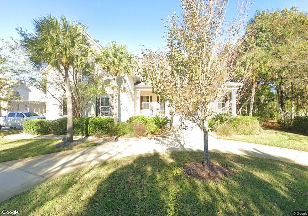
102 Pirates Cove Saint Simons Island, GA 31522
Estimated Value: $1,099,286 - $1,283,000
5
Beds
5
Baths
4,100
Sq Ft
$292/Sq Ft
Est. Value
About This Home
This home is located at 102 Pirates Cove, Saint Simons Island, GA 31522 and is currently estimated at $1,198,822, approximately $292 per square foot. 102 Pirates Cove is a home located in Glynn County with nearby schools including Oglethorpe Point Elementary School, Glynn Middle School, and Glynn Academy.
Ownership History
Date
Name
Owned For
Owner Type
Purchase Details
Closed on
Aug 22, 2011
Sold by
Gentry Roy B
Bought by
Koran Walter C
Current Estimated Value
Purchase Details
Closed on
Dec 3, 2009
Sold by
Gentry Roy B and Malone Sylvia
Bought by
Gentry Roy B and Malone Sylvia
Purchase Details
Closed on
May 18, 2006
Sold by
Gentry Roy B
Bought by
Gentry Roy B and Gentry Sylvia Malone
Create a Home Valuation Report for This Property
The Home Valuation Report is an in-depth analysis detailing your home's value as well as a comparison with similar homes in the area
Home Values in the Area
Average Home Value in this Area
Purchase History
| Date | Buyer | Sale Price | Title Company |
|---|---|---|---|
| Koran Walter C | $498,000 | -- | |
| Gentry Roy B | -- | -- | |
| Gentry Roy B | -- | -- |
Source: Public Records
Tax History Compared to Growth
Tax History
| Year | Tax Paid | Tax Assessment Tax Assessment Total Assessment is a certain percentage of the fair market value that is determined by local assessors to be the total taxable value of land and additions on the property. | Land | Improvement |
|---|---|---|---|---|
| 2025 | $8,858 | $353,200 | $92,000 | $261,200 |
| 2024 | $8,665 | $345,520 | $92,000 | $253,520 |
| 2023 | $1,499 | $345,520 | $92,000 | $253,520 |
| 2022 | $1,646 | $282,840 | $80,000 | $202,840 |
| 2021 | $1,690 | $237,160 | $38,000 | $199,160 |
| 2020 | $1,731 | $237,160 | $38,000 | $199,160 |
| 2019 | $4,596 | $237,160 | $38,000 | $199,160 |
| 2018 | $4,350 | $203,960 | $38,000 | $165,960 |
| 2017 | $4,350 | $195,960 | $30,000 | $165,960 |
| 2016 | $4,092 | $195,960 | $30,000 | $165,960 |
| 2015 | $4,097 | $195,960 | $30,000 | $165,960 |
| 2014 | $4,097 | $169,400 | $30,000 | $139,400 |
Source: Public Records
Map
Nearby Homes
- 110 Pirates Cove
- 112 Brookfield Trace
- 18 Canopy Ct
- 24 Canopy Ct
- 3 Canopy Ct
- 8 Canopy Ct
- LOT 18 Canopy Ct
- LOT 3 Canopy Ct
- LOT 1 Canopy Ct
- LOT 24 Canopy Ct
- LOT 8 Canopy Ct
- 512 Brockinton S
- 361 Brockinton Marsh
- 123 Shadow Wood Bend
- 131 Shadow Wood Bend
- 129 Shadow Wood Bend
- 622 Brockinton Point
- 122 Shady Brook Cir Unit 201
- 258 Saint James Ave
- 222 Walmar Grove
- 102 Pirates Cove
- 000 Pirates Cove
- Lot 74 Pirates Cove
- 101 Pirates Cove
- 104 Pirate's Cove
- 104 Pirates Cove
- 1030 Brockinton Dr
- 103 Pirates Cove
- 1017 Brockinton Dr
- 105 Pirates Cove
- 116 Pirates Cove
- 1031 Brockinton Dr
- 1040 Brockinton Dr
- 0 Pirates Cove
- 1039 Brockinton Dr
- 107 Pirates Cove
- 1011 Brockinton Dr
- 117 Pirates Cove
- 1047 Brockinton Dr
- 100 Woodbrook Way