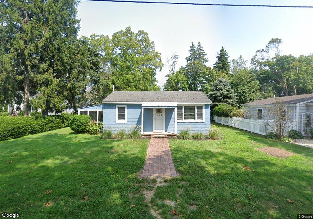
102 Point St Jamesport, NY 11742
Estimated Value: $518,000 - $630,000
2
Beds
1
Bath
420
Sq Ft
$1,411/Sq Ft
Est. Value
About This Home
This home is located at 102 Point St, Jamesport, NY 11742 and is currently estimated at $592,495, approximately $1,410 per square foot. 102 Point St is a home located in Suffolk County with nearby schools including Pulaski Street Intermediate School, Riverhead Middle School, and Riverhead Senior High School.
Ownership History
Date
Name
Owned For
Owner Type
Purchase Details
Closed on
Dec 18, 2023
Sold by
Puls Suzanne
Bought by
Greenwood Brad and Greenwood Karen
Current Estimated Value
Purchase Details
Closed on
Jan 10, 2022
Sold by
Puls Suzanne and Tatz Kristen
Bought by
Puls Suzanne and Thom Jenny
Purchase Details
Closed on
Feb 3, 2015
Sold by
Thom Donald Ritchie
Bought by
Puls Suzanne and Tatz Kristen
Purchase Details
Closed on
Feb 2, 2015
Sold by
Thom Donald Ritchie
Bought by
Thom Donald Ritchie
Create a Home Valuation Report for This Property
The Home Valuation Report is an in-depth analysis detailing your home's value as well as a comparison with similar homes in the area
Home Values in the Area
Average Home Value in this Area
Purchase History
| Date | Buyer | Sale Price | Title Company |
|---|---|---|---|
| Greenwood Brad | $565,000 | None Available | |
| Greenwood Brad | $565,000 | None Available | |
| Puls Suzanne | -- | None Available | |
| Puls Suzanne | -- | None Available | |
| Puls Suzanne | -- | None Available | |
| Puls Suzanne | -- | None Available | |
| Thom Donald Ritchie | -- | None Available | |
| Thom Donald Ritchie | -- | None Available |
Source: Public Records
Tax History
| Year | Tax Paid | Tax Assessment Tax Assessment Total Assessment is a certain percentage of the fair market value that is determined by local assessors to be the total taxable value of land and additions on the property. | Land | Improvement |
|---|---|---|---|---|
| 2024 | $4,385 | $20,000 | $6,400 | $13,600 |
| 2023 | $4,385 | $20,000 | $6,400 | $13,600 |
| 2022 | $3,718 | $20,000 | $6,400 | $13,600 |
| 2021 | $3,718 | $20,000 | $6,400 | $13,600 |
| 2020 | $2,005 | $20,000 | $6,400 | $13,600 |
| 2019 | $2,005 | $0 | $0 | $0 |
| 2018 | -- | $20,000 | $6,400 | $13,600 |
| 2017 | $3,907 | $20,000 | $6,400 | $13,600 |
| 2016 | $3,773 | $20,000 | $6,400 | $13,600 |
| 2015 | -- | $20,000 | $6,400 | $13,600 |
| 2014 | -- | $20,000 | $6,400 | $13,600 |
Source: Public Records
Map
Nearby Homes
- 1001 Peconic Bay Blvd
- 957 Peconic Bay Blvd
- 56 Dougs Ln
- 898 Peconic Bay Blvd
- 1 and 2 Campground Cir
- 8 N Railroad Ave
- 93 Saint Marys Dr
- 264 Washington Ave
- 33 Lagoon Ct
- 196 High Meadow Ln
- 1408 Main Rd
- 100 Manor Ln
- 1386 Main Rd
- 1705 & 1709 Main Rd
- 481 Peconic Bay Blvd
- 33 Willow St
- 132 Tuthills Ln
- 26 Tuthills Ln
- 62 Tuthills Ln
- 10 Barrett Dr
Your Personal Tour Guide
Ask me questions while you tour the home.