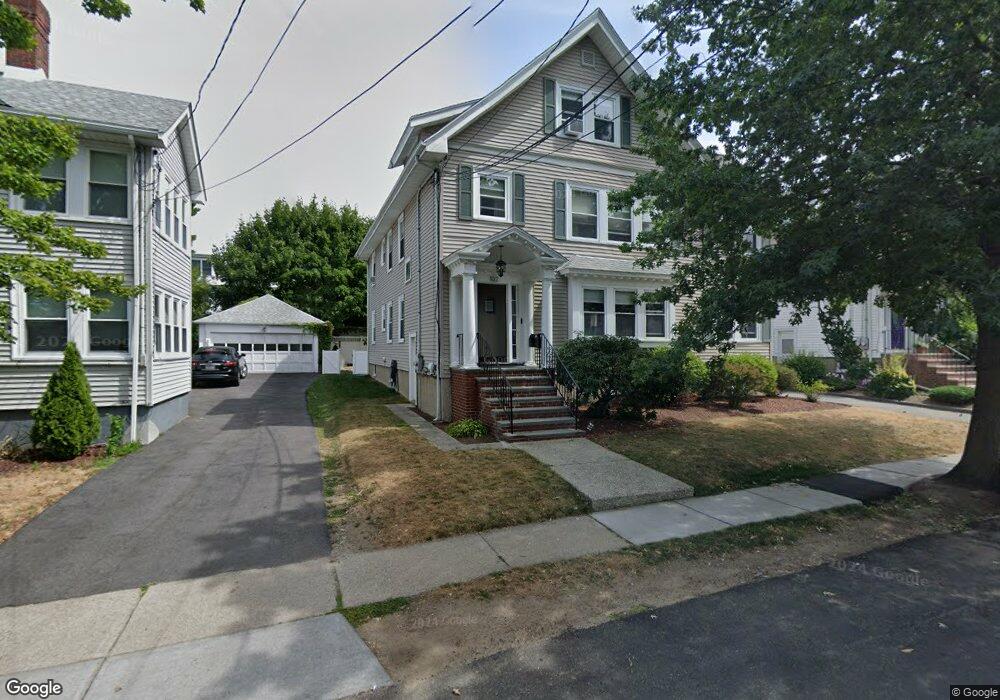
102 Poplar St Unit 2 Watertown, MA 02472
West Watertown NeighborhoodEstimated Value: $841,000 - $1,003,000
4
Beds
2
Baths
2,214
Sq Ft
$417/Sq Ft
Est. Value
About This Home
This home is located at 102 Poplar St Unit 2, Watertown, MA 02472 and is currently estimated at $922,513, approximately $416 per square foot. 102 Poplar St Unit 2 is a home located in Middlesex County with nearby schools including The Kendall School and Beacon High School.
Ownership History
Date
Name
Owned For
Owner Type
Purchase Details
Closed on
Jul 1, 2010
Sold by
Leary Catherine C
Bought by
Lipscomb Stephen R and Lipscomb Elizabeth A
Current Estimated Value
Home Financials for this Owner
Home Financials are based on the most recent Mortgage that was taken out on this home.
Original Mortgage
$365,000
Outstanding Balance
$244,480
Interest Rate
4.88%
Mortgage Type
Purchase Money Mortgage
Estimated Equity
$678,033
Create a Home Valuation Report for This Property
The Home Valuation Report is an in-depth analysis detailing your home's value as well as a comparison with similar homes in the area
Home Values in the Area
Average Home Value in this Area
Purchase History
| Date | Buyer | Sale Price | Title Company |
|---|---|---|---|
| Lipscomb Stephen R | $445,000 | -- |
Source: Public Records
Mortgage History
| Date | Status | Borrower | Loan Amount |
|---|---|---|---|
| Open | Lipscomb Stephen R | $365,000 |
Source: Public Records
Tax History
| Year | Tax Paid | Tax Assessment Tax Assessment Total Assessment is a certain percentage of the fair market value that is determined by local assessors to be the total taxable value of land and additions on the property. | Land | Improvement |
|---|---|---|---|---|
| 2025 | $9,673 | $828,200 | $0 | $828,200 |
| 2024 | $8,594 | $734,500 | $0 | $734,500 |
| 2023 | $9,601 | $707,000 | $0 | $707,000 |
| 2022 | $8,446 | $637,400 | $0 | $637,400 |
| 2021 | $7,563 | $617,400 | $0 | $617,400 |
| 2020 | $7,495 | $617,400 | $0 | $617,400 |
| 2019 | $7,159 | $555,800 | $0 | $555,800 |
| 2018 | $6,995 | $519,300 | $0 | $519,300 |
| 2017 | $6,921 | $498,300 | $0 | $498,300 |
| 2016 | $6,357 | $464,700 | $0 | $464,700 |
| 2015 | $6,669 | $443,700 | $0 | $443,700 |
| 2014 | $6,386 | $426,900 | $0 | $426,900 |
Source: Public Records
Map
Nearby Homes
- 93-95 Poplar St
- 20 Hall Ave
- 652 Belmont St Unit 2
- 652 Belmont St
- 652 Belmont St Unit 1
- 85 Bradford Rd
- 11 Poplar St
- 11 Harriet Ave Unit 2
- 9 Harriet Ave Unit 1
- 7 Harriet Ave Unit 7
- 125 Trapelo Rd Unit 21
- 125 Trapelo Rd Unit 36
- 50 Carroll St Unit 50
- 21 Bradford Rd
- 48 Gilbert Rd Unit 1
- 76 Hovey St
- 456 Belmont St Unit 10
- 289 Waverley Ave Unit 2
- 15 Hull St Unit 2
- 15-17 Hull St
- 102 Poplar St Unit 1
- 98 Poplar St
- 106 Poplar St
- 106 Poplar St Unit 1
- 43 Merrill Rd
- 39 Merrill Rd
- 92 Poplar St
- 92 Poplar St Unit 2
- 110 Poplar St Unit 2
- 110 Poplar St Unit 1
- 101 Poplar St
- 49 Merrill Rd
- 97 Poplar St
- 97 Poplar St Unit 97
- 99 Poplar St
- 103 Poplar St Unit 2
- 33 Merrill Rd
- 33 Merrill Rd Unit 33
- 90 Poplar St Unit 2
- 90 Poplar St Unit 1
Your Personal Tour Guide
Ask me questions while you tour the home.