102 Private Road 3467 Unit 243 Ironton, OH 45638
Estimated Value: $93,000 - $131,000
2
Beds
1
Bath
1,008
Sq Ft
$111/Sq Ft
Est. Value
About This Home
This home is located at 102 Private Road 3467 Unit 243, Ironton, OH 45638 and is currently estimated at $111,437, approximately $110 per square foot. 102 Private Road 3467 Unit 243 is a home located in Lawrence County with nearby schools including Dawson-Bryant Elementary School, Dawson-Bryant Middle School, and Dawson-Bryant High School.
Ownership History
Date
Name
Owned For
Owner Type
Purchase Details
Closed on
Mar 9, 1998
Sold by
Stapleton Bruce and Stapleton Janet
Bought by
Gannon Robin
Current Estimated Value
Purchase Details
Closed on
Nov 21, 1995
Sold by
Stapleton Bruce and Stapleton Janet
Bought by
Stapleton Bruce and Stapleton Janet
Purchase Details
Closed on
Sep 21, 1995
Sold by
Stapleton Bruce and Stapleton Janet
Bought by
Stapleton Bruce and Stapleton Janet
Create a Home Valuation Report for This Property
The Home Valuation Report is an in-depth analysis detailing your home's value as well as a comparison with similar homes in the area
Home Values in the Area
Average Home Value in this Area
Purchase History
| Date | Buyer | Sale Price | Title Company |
|---|---|---|---|
| Gannon Robin | -- | -- | |
| Stapleton Bruce | -- | -- | |
| Stapleton Bruce | -- | -- |
Source: Public Records
Tax History Compared to Growth
Tax History
| Year | Tax Paid | Tax Assessment Tax Assessment Total Assessment is a certain percentage of the fair market value that is determined by local assessors to be the total taxable value of land and additions on the property. | Land | Improvement |
|---|---|---|---|---|
| 2024 | -- | $16,270 | $5,740 | $10,530 |
| 2023 | $470 | $16,270 | $5,740 | $10,530 |
| 2022 | $470 | $16,270 | $5,740 | $10,530 |
| 2021 | $464 | $16,440 | $4,570 | $11,870 |
| 2020 | $479 | $16,440 | $4,570 | $11,870 |
| 2019 | $477 | $16,440 | $4,570 | $11,870 |
| 2018 | $472 | $16,050 | $4,570 | $11,480 |
| 2017 | $471 | $16,050 | $4,570 | $11,480 |
| 2016 | $433 | $16,050 | $4,570 | $11,480 |
| 2015 | $445 | $15,240 | $4,400 | $10,840 |
| 2014 | $440 | $15,240 | $4,400 | $10,840 |
| 2013 | $439 | $15,240 | $4,400 | $10,840 |
Source: Public Records
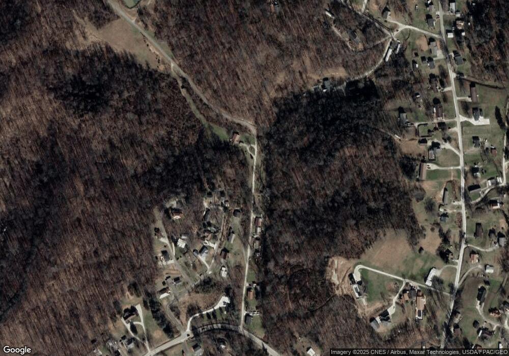
Map
Nearby Homes
- 156 Township Road 181
- 2088 State Route 243
- 342 Township Road 296
- 103 Carrico Dr
- 119 Remy St
- 571 County Road 52
- 135 Lane St
- 519 Lane St
- 514 Lane St
- 1122 Township Road 266
- 1122 Township Road 266
- 309 High St
- 309 High St Unit LAO-5
- 125 Center St
- 805 1/2 High St
- 572 Township Road 145
- 572 Township Road 145 Unit KO-4
- 2480 County Road 181
- 6881 State Route 243
- 0 County Road 181 Unit 24215136
- 84 Private Road 3467 Unit 243
- 40 Private Road 3467 Unit 243
- 77 Private Road 3467 Unit 243
- 152 Private Road 3467 Unit 243
- 130 Township Road 321
- 77 Township Road 3467
- 171 Township Road 321
- 145 Township Road 321
- 125 Township Road 321
- 3489 State Route 243
- 198 Township Road 321
- 99 Township Road 111
- 69 Township Road 322
- 3557 State Route 243
- 114 Township Road 322
- 69 Township Road 321
- 3454 State Route 243
- 43 Township Road 322
- 50 Township Road 322
- 45 Township Road 321