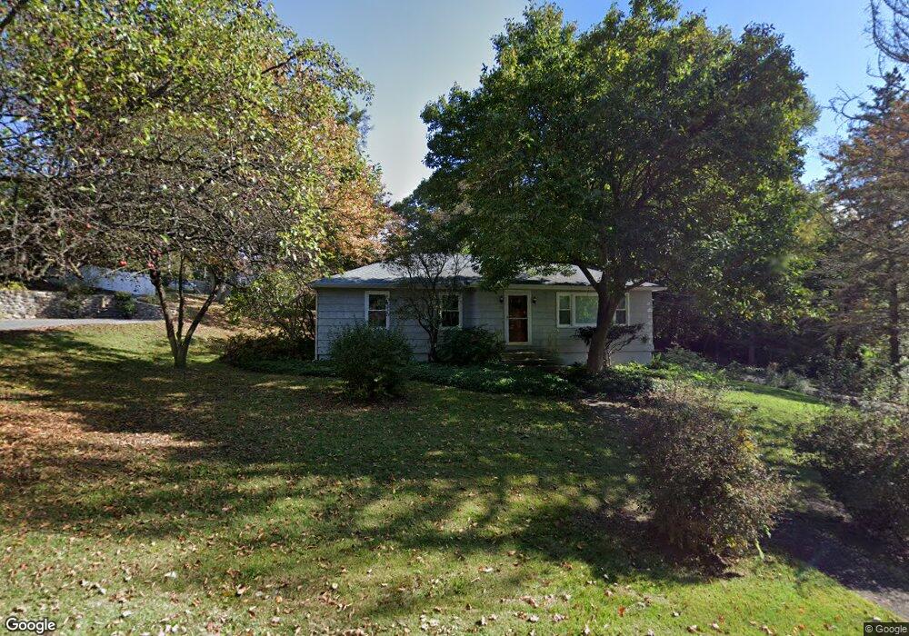
102 Richardson Dr Middlebury, CT 06762
West End District NeighborhoodEstimated Value: $337,000 - $431,000
3
Beds
1
Bath
1,261
Sq Ft
$290/Sq Ft
Est. Value
About This Home
This home is located at 102 Richardson Dr, Middlebury, CT 06762 and is currently estimated at $365,516, approximately $289 per square foot. 102 Richardson Dr is a home located in New Haven County with nearby schools including Middlebury Elementary School, Memorial Middle School, and Pomperaug Regional High School.
Ownership History
Date
Name
Owned For
Owner Type
Purchase Details
Closed on
Feb 21, 2003
Sold by
Mgley Elizabeth and Sher Paul
Bought by
Campbell Rose and Campbell Geraldine
Current Estimated Value
Home Financials for this Owner
Home Financials are based on the most recent Mortgage that was taken out on this home.
Original Mortgage
$125,000
Outstanding Balance
$53,651
Interest Rate
5.98%
Estimated Equity
$311,865
Create a Home Valuation Report for This Property
The Home Valuation Report is an in-depth analysis detailing your home's value as well as a comparison with similar homes in the area
Home Values in the Area
Average Home Value in this Area
Purchase History
| Date | Buyer | Sale Price | Title Company |
|---|---|---|---|
| Campbell Rose | $185,000 | -- | |
| Campbell Rose | $185,000 | -- |
Source: Public Records
Mortgage History
| Date | Status | Borrower | Loan Amount |
|---|---|---|---|
| Open | Campbell Rose | $125,000 | |
| Closed | Campbell Rose | $125,000 |
Source: Public Records
Tax History Compared to Growth
Tax History
| Year | Tax Paid | Tax Assessment Tax Assessment Total Assessment is a certain percentage of the fair market value that is determined by local assessors to be the total taxable value of land and additions on the property. | Land | Improvement |
|---|---|---|---|---|
| 2025 | $5,805 | $178,500 | $50,700 | $127,800 |
| 2024 | $5,819 | $178,500 | $50,700 | $127,800 |
| 2023 | $5,758 | $178,500 | $50,700 | $127,800 |
| 2022 | $5,580 | $178,500 | $50,700 | $127,800 |
| 2021 | $4,664 | $133,900 | $57,800 | $76,100 |
| 2020 | $4,700 | $133,900 | $57,800 | $76,100 |
| 2019 | $4,472 | $133,900 | $57,800 | $76,100 |
| 2018 | $4,353 | $133,900 | $57,800 | $76,100 |
| 2017 | $4,217 | $133,900 | $57,800 | $76,100 |
| 2016 | $3,734 | $120,400 | $51,100 | $69,300 |
| 2015 | $3,626 | $120,400 | $51,100 | $69,300 |
| 2014 | $3,533 | $120,400 | $51,100 | $69,300 |
Source: Public Records
Map
Nearby Homes
- 0 Ferndale Ave
- 0 Mason Ave
- 110 Wooster Ave
- 120 Mason Ave
- 25 Parkwood Ave
- 52 Hampton Rd
- 604 Lakeside Blvd W
- 1 Umberfield Rd
- 32 Yale Ave
- 182 Bayberry Terrace
- 73 Yale Ave
- 105 Jericho Rd
- 3 Pine Ridge Unit 23
- 141 Joshua Town Rd
- 55 Eastfield Rd
- 1 Ruth Parsons Dr
- 77 Eastfield Rd
- 126 Colonial Ave
- 116 Yale Ave
- 61 Campfield Rd
- 78 Richardson Dr
- 1192273 Richardson Dr
- 1194339 Richardson Dr
- 112 Richardson Dr
- 103 Richardson Dr
- 124 Richardson Dr
- 79 Richardson Dr
- 115 Richardson Dr
- 130 Richardson Dr
- 148 Larchmont Ave
- 1 Parson(paper St Off Richardson Dr) Ave
- 141 Larchmont Ave
- 67 Richardson Dr
- 138 Richardson Dr
- 1252 Straits Turnpike
- 1264 Straits Turnpike
- 1248 Straits Turnpike
- 1274 Straits Turnpike
- 135 Richardson Dr
- 1238 Straits Turnpike