102 Robinson Ln Ardmore, OK 73401
Estimated Value: $157,000 - $213,000
2
Beds
1
Bath
1,110
Sq Ft
$163/Sq Ft
Est. Value
About This Home
This home is located at 102 Robinson Ln, Ardmore, OK 73401 and is currently estimated at $180,691, approximately $162 per square foot. 102 Robinson Ln is a home with nearby schools including Dickson Elementary School, Dickson Upper Elementary School, and Dickson Middle School.
Ownership History
Date
Name
Owned For
Owner Type
Purchase Details
Closed on
Jul 23, 2018
Sold by
Price Lewis W and Price Beverly
Bought by
Taylor Bryan R and Taylor Julie
Current Estimated Value
Home Financials for this Owner
Home Financials are based on the most recent Mortgage that was taken out on this home.
Original Mortgage
$80,000
Outstanding Balance
$24,957
Interest Rate
4.5%
Mortgage Type
Purchase Money Mortgage
Estimated Equity
$155,734
Create a Home Valuation Report for This Property
The Home Valuation Report is an in-depth analysis detailing your home's value as well as a comparison with similar homes in the area
Home Values in the Area
Average Home Value in this Area
Purchase History
| Date | Buyer | Sale Price | Title Company |
|---|---|---|---|
| Taylor Bryan R | $92,000 | None Available |
Source: Public Records
Mortgage History
| Date | Status | Borrower | Loan Amount |
|---|---|---|---|
| Open | Taylor Bryan R | $80,000 |
Source: Public Records
Tax History Compared to Growth
Tax History
| Year | Tax Paid | Tax Assessment Tax Assessment Total Assessment is a certain percentage of the fair market value that is determined by local assessors to be the total taxable value of land and additions on the property. | Land | Improvement |
|---|---|---|---|---|
| 2025 | $1,219 | $12,399 | $1,257 | $11,142 |
| 2024 | $1,219 | $11,808 | $1,197 | $10,611 |
| 2023 | $1,161 | $11,246 | $900 | $10,346 |
| 2022 | $1,056 | $10,711 | $900 | $9,811 |
| 2021 | $1,085 | $10,719 | $1,656 | $9,063 |
| 2020 | $1,069 | $10,719 | $1,656 | $9,063 |
| 2019 | $1,065 | $11,040 | $1,656 | $9,384 |
| 2018 | $547 | $5,594 | $720 | $4,874 |
| 2017 | $531 | $5,328 | $720 | $4,608 |
| 2016 | $497 | $5,074 | $720 | $4,354 |
| 2015 | $474 | $4,833 | $720 | $4,113 |
| 2014 | $452 | $4,602 | $720 | $3,882 |
Source: Public Records
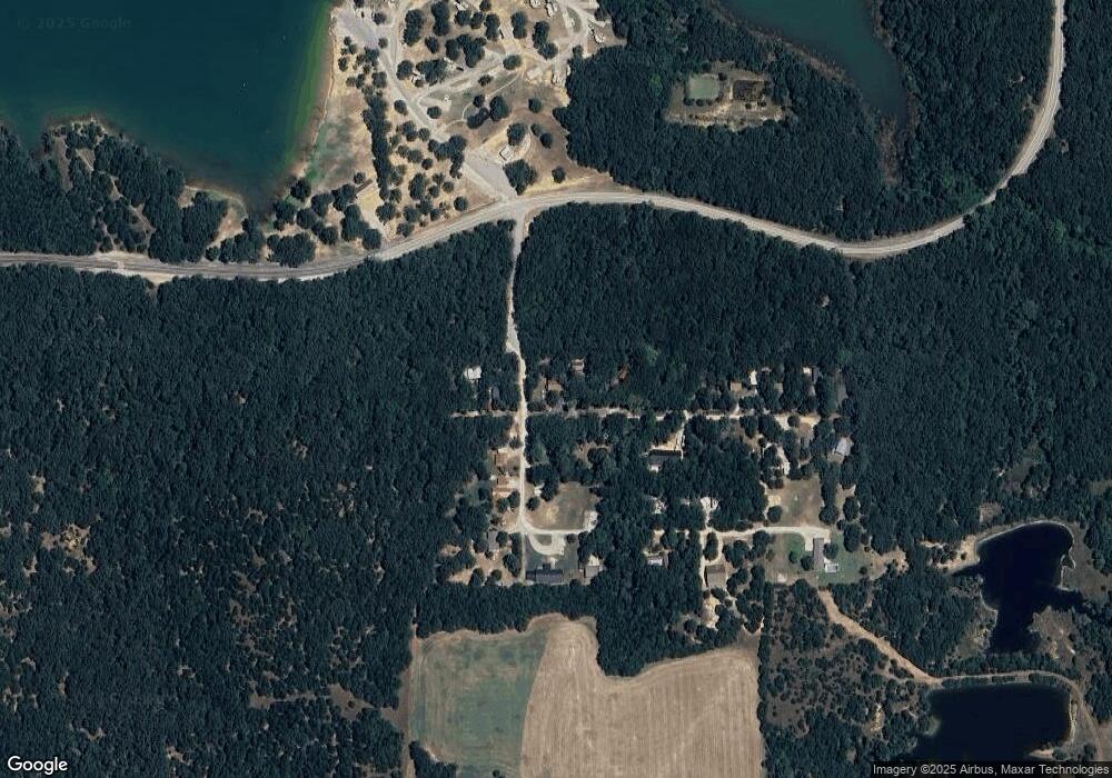
Map
Nearby Homes
- 0 Scott Unit 2539974
- 0 Scott Unit 2505734
- 1526 Sandy Creek Rd
- 0 Mockingbird Rd Unit 2541939
- 95 Express Rd
- 2048 Mockingbird Rd
- 546 Mockingbird Ln
- 1018 Rocky Acres Rd
- 1774 Lodge Rd
- 2615 Rancho Ln
- 0 Mary Niblack Rd Unit 25102336
- 0 Mary Niblack Rd Unit 25102713
- 2807 Mcclain Rd
- 2810 Harvey Rd
- 002 Cisco Rd
- 0 State Highway 77
- 820 Cisco
- 3699 Ew Meadowlark Dr
- 0 Mcclain Rd Unit 2538474
- 0 Mcclain Rd Unit 2514680
- 116 Martins Landing Dr
- 132 Martins Landing Dr
- 15 Robinson Ln
- 120 Martins Landing Dr
- 162 Martins Landing Dr
- 46 Robinson Ln
- 49 Robinson Ln
- 180 Martins Landing Dr
- 82 Robinson Ln
- 89 Robinson Ln
- 212 Martins Landing Dr
- 106 Robinson Ln
- 268 Martins Landing Dr
- 117 Robinson Ln
- 156 Robinson Ln
- 173 Robinson Ln
- 173 Robinson Ln
- 338 Martins Landing Dr
- 1325 Edgewood Rd
- 1325 Edgewood Rd