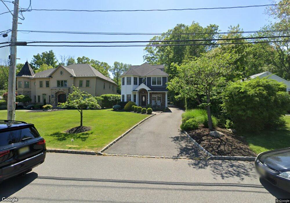
102 Roosevelt Blvd Florham Park, NJ 07932
Estimated Value: $1,482,560 - $1,892,000
--
Bed
--
Bath
3,678
Sq Ft
$468/Sq Ft
Est. Value
About This Home
This home is located at 102 Roosevelt Blvd, Florham Park, NJ 07932 and is currently estimated at $1,719,640, approximately $467 per square foot. 102 Roosevelt Blvd is a home with nearby schools including Briarwood Elementary School, Brooklake Elementary School, and Ridgedale Middle School.
Ownership History
Date
Name
Owned For
Owner Type
Purchase Details
Closed on
Dec 15, 2011
Sold by
M G C Development L L C
Bought by
Michelson David and Brown April
Current Estimated Value
Home Financials for this Owner
Home Financials are based on the most recent Mortgage that was taken out on this home.
Original Mortgage
$625,500
Outstanding Balance
$427,473
Interest Rate
3.99%
Mortgage Type
New Conventional
Estimated Equity
$1,292,167
Purchase Details
Closed on
Sep 15, 2010
Sold by
Fraser Alma C and Fraser Olive Miriam
Bought by
M G C Development L L C
Create a Home Valuation Report for This Property
The Home Valuation Report is an in-depth analysis detailing your home's value as well as a comparison with similar homes in the area
Home Values in the Area
Average Home Value in this Area
Purchase History
| Date | Buyer | Sale Price | Title Company |
|---|---|---|---|
| Michelson David | $870,000 | Chicago Title Insurance Co | |
| M G C Development L L C | $310,000 | First American Title Ins Co |
Source: Public Records
Mortgage History
| Date | Status | Borrower | Loan Amount |
|---|---|---|---|
| Open | Michelson David | $625,500 |
Source: Public Records
Tax History Compared to Growth
Tax History
| Year | Tax Paid | Tax Assessment Tax Assessment Total Assessment is a certain percentage of the fair market value that is determined by local assessors to be the total taxable value of land and additions on the property. | Land | Improvement |
|---|---|---|---|---|
| 2025 | $13,853 | $853,000 | $318,300 | $534,700 |
| 2024 | $13,631 | $853,000 | $318,300 | $534,700 |
| 2023 | $13,631 | $853,000 | $318,300 | $534,700 |
| 2022 | $13,648 | $853,000 | $318,300 | $534,700 |
| 2021 | $13,648 | $853,000 | $318,300 | $534,700 |
| 2020 | $13,367 | $853,000 | $318,300 | $534,700 |
| 2019 | $13,136 | $853,000 | $318,300 | $534,700 |
| 2018 | $12,889 | $853,000 | $318,300 | $534,700 |
| 2017 | $12,565 | $853,000 | $318,300 | $534,700 |
| 2016 | $12,223 | $853,000 | $318,300 | $534,700 |
| 2015 | $12,010 | $853,000 | $318,300 | $534,700 |
| 2014 | $11,754 | $853,000 | $318,300 | $534,700 |
Source: Public Records
Map
Nearby Homes
- 79 Roosevelt Blvd
- 33 Riverside Dr
- 77 Rockwood Rd
- 30 Cathedral Ave
- 3 Pierson Ln
- 4 Leslie Ave
- 210 Central Ave
- 62 Townsend Dr
- 4 Trevino Ct Unit 30D
- 119 Cathedral Ave
- 9 Westerly Ave
- 8 Salvatore Ct
- 152 Central Ave
- 142 Ridgedale Ave
- 139 Ridgedale Ave
- 107 Greenwood Ave
- 126 Brandywyne Dr Unit 97A
- 9 1st St
- 14 Kenneth Ct
- 11 Willow Way
- 106 Roosevelt Blvd
- 98 Roosevelt Blvd
- 101 Roosevelt Blvd
- 110 Roosevelt Blvd
- 94 Roosevelt Blvd
- 95 Roosevelt Blvd
- 105 Roosevelt Blvd
- 92 Roosevelt Blvd
- 93 Roosevelt Blvd
- 109 Roosevelt Blvd
- 112 Roosevelt Blvd
- 91 Roosevelt Blvd
- 88 Roosevelt Blvd
- 15 Riverside Dr
- 23 Riverside Dr
- 13 Riverside Dr
- 89 W End Ave
- 113 Roosevelt Blvd
- 11 Riverside Dr
- 85 Roosevelt Blvd