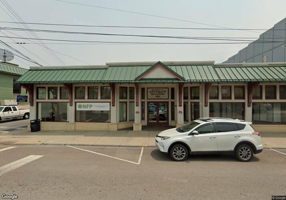
102 S 2nd St Oakland, MD 21550
--
Bed
--
Bath
10,500
Sq Ft
10,454
Sq Ft Lot
About This Home
This home is located at 102 S 2nd St, Oakland, MD 21550. 102 S 2nd St is a home located in Garrett County with nearby schools including Broad Ford Elementary School, Southern Middle School, and Southern Garrett High School.
Ownership History
Date
Name
Owned For
Owner Type
Purchase Details
Closed on
Oct 31, 2017
Sold by
First United Trust
Bought by
First United Bank & Trusts
Purchase Details
Closed on
Jan 6, 1997
Sold by
Lattman Realty Llc
Bought by
First United National Bank & Trust
Purchase Details
Closed on
Jun 5, 1995
Sold by
Lattman Norman S
Bought by
Lattman Realty Llc
Purchase Details
Closed on
Jan 16, 1986
Sold by
Arnold Frank and Arnold Sharon
Bought by
Lattman Norman S
Home Financials for this Owner
Home Financials are based on the most recent Mortgage that was taken out on this home.
Original Mortgage
$130,000
Interest Rate
10.77%
Create a Home Valuation Report for This Property
The Home Valuation Report is an in-depth analysis detailing your home's value as well as a comparison with similar homes in the area
Home Values in the Area
Average Home Value in this Area
Purchase History
| Date | Buyer | Sale Price | Title Company |
|---|---|---|---|
| First United Bank & Trusts | $280,000 | None Available | |
| First United National Bank & Trust | $250,000 | -- | |
| Lattman Realty Llc | -- | -- | |
| Lattman Norman S | $155,000 | -- |
Source: Public Records
Mortgage History
| Date | Status | Borrower | Loan Amount |
|---|---|---|---|
| Previous Owner | Lattman Norman S | $130,000 |
Source: Public Records
Tax History Compared to Growth
Tax History
| Year | Tax Paid | Tax Assessment Tax Assessment Total Assessment is a certain percentage of the fair market value that is determined by local assessors to be the total taxable value of land and additions on the property. | Land | Improvement |
|---|---|---|---|---|
| 2025 | $5,614 | $350,000 | $33,900 | $316,100 |
| 2024 | $5,423 | $330,667 | $0 | $0 |
| 2023 | $5,106 | $311,333 | $0 | $0 |
| 2022 | $4,789 | $292,000 | $33,900 | $258,100 |
| 2021 | $4,746 | $289,367 | $0 | $0 |
| 2020 | $4,702 | $286,733 | $0 | $0 |
| 2019 | $4,659 | $284,100 | $33,900 | $250,200 |
| 2018 | $9,050 | $575,000 | $33,900 | $541,100 |
| 2017 | $9,049 | $575,000 | $0 | $0 |
| 2016 | -- | $575,900 | $0 | $0 |
| 2015 | -- | $575,900 | $0 | $0 |
| 2014 | -- | $575,900 | $0 | $0 |
Source: Public Records
Map
Nearby Homes
- 503 E Alder St
- 511 E Green St
- 611 E Oak St
- 0 N Hammond St
- 531 S 3rd St
- 0 8th & Dennett Road St Unit MDGA2009886
- 627 Hamill St
- 315 Coolidge Ave
- 5202 Hutton Rd
- 163 Mitchell Dr
- 1056 Sunrise Dr
- 445 Dennett Rd
- 0 Weber Ct
- 0 Crosby Dr Unit 64/65
- 0 Sam Snead Cir Unit 1 MDGA2010358
- 62 Crosby Dr
- 11 Sunset Dr
- 163 Crestview Dr
- 127 S Oakhall Dr
- 697 Monte Vista Rd