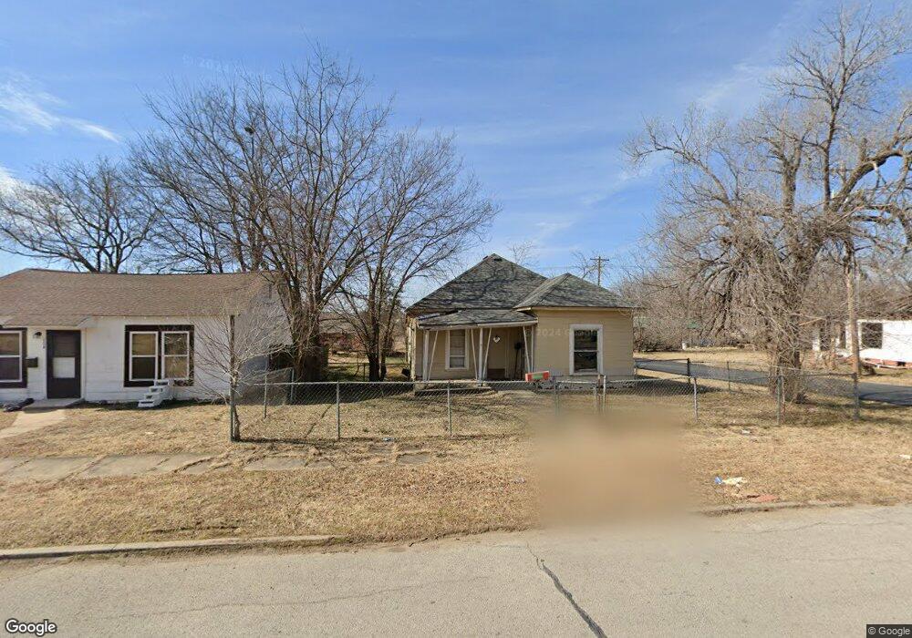
102 S Independence St Sapulpa, OK 74066
Estimated Value: $83,403 - $192,000
3
Beds
1
Bath
1,162
Sq Ft
$116/Sq Ft
Est. Value
About This Home
This home is located at 102 S Independence St, Sapulpa, OK 74066 and is currently estimated at $134,351, approximately $115 per square foot. 102 S Independence St is a home located in Creek County with nearby schools including Sapulpa Junior High School, Sapulpa Middle School, and Sapulpa High School.
Ownership History
Date
Name
Owned For
Owner Type
Purchase Details
Closed on
Nov 11, 2022
Sold by
Reynolds Cheyenne and Reynolds Leanna L
Bought by
Lost Boy Properties Llc
Current Estimated Value
Purchase Details
Closed on
Aug 8, 2019
Sold by
Reynolds Cheyenne and Reynolds Leanna L
Bought by
Reynolds Promised Land Llc
Purchase Details
Closed on
Oct 31, 2017
Sold by
Reynolds Roberta M
Bought by
Reynolds Cheyenne and Reynolds Leanna L
Create a Home Valuation Report for This Property
The Home Valuation Report is an in-depth analysis detailing your home's value as well as a comparison with similar homes in the area
Home Values in the Area
Average Home Value in this Area
Purchase History
| Date | Buyer | Sale Price | Title Company |
|---|---|---|---|
| Lost Boy Properties Llc | -- | -- | |
| Reynolds Cheyenne | -- | -- | |
| Reynolds Promised Land Llc | -- | None Available | |
| Reynolds Cheyenne | -- | Creek County Abstract Co |
Source: Public Records
Tax History Compared to Growth
Tax History
| Year | Tax Paid | Tax Assessment Tax Assessment Total Assessment is a certain percentage of the fair market value that is determined by local assessors to be the total taxable value of land and additions on the property. | Land | Improvement |
|---|---|---|---|---|
| 2025 | $281 | $2,429 | $840 | $1,589 |
| 2024 | $281 | $2,313 | $840 | $1,473 |
| 2023 | $281 | $2,203 | $840 | $1,363 |
| 2022 | $241 | $2,098 | $840 | $1,258 |
| 2021 | $237 | $1,998 | $840 | $1,158 |
| 2020 | $333 | $2,819 | $840 | $1,979 |
| 2019 | $318 | $2,685 | $840 | $1,845 |
| 2018 | $298 | $2,466 | $819 | $1,647 |
| 2017 | $283 | $2,348 | $792 | $1,556 |
| 2016 | $256 | $2,236 | $766 | $1,470 |
| 2015 | -- | $2,130 | $742 | $1,388 |
| 2014 | -- | $2,028 | $718 | $1,310 |
Source: Public Records
Map
Nearby Homes
- 131 S Hickory St
- 139 S Hickory St
- 310 W Lee Ave
- 206 S Mounds St
- 303 W Mckinley Ave
- 14 S Mounds St
- 404 S Hickory St
- 321 W Bryan Ave
- 408 S Muskogee St
- 508 S Hickory St
- 314 S Poplar St
- 115 N Mounds St
- 111 S Poplar St
- 410 S Poplar St
- 317 S Poplar St
- 208 N Burnett St
- 215 S Hawthorne St
- 210 S Water St
- 0 N Gray St
- 706 S Oklahoma St
- 104 S Independence St
- 108 S Independence St
- 20 S Independence St
- 18 S Independence St
- 114 S Independence St
- 107 S Burnett St
- 501 W Lee Ave
- 101 S Independence St
- 105 S Independence St
- 419 W Lee Ave
- 118 S Independence St
- 107 S Independence St
- 9 S Burnett St
- 508 W Dewey
- 115 S Burnett St
- 115 S Independence St
- 7 S Burnett St
- 417 W Lee Ave
- 117 S Independence St